
Rand McNally Standard Map of Colorado
$100.00
A detailed transportation guide to Colorado from the Interwar Period.
1 in stock
Description
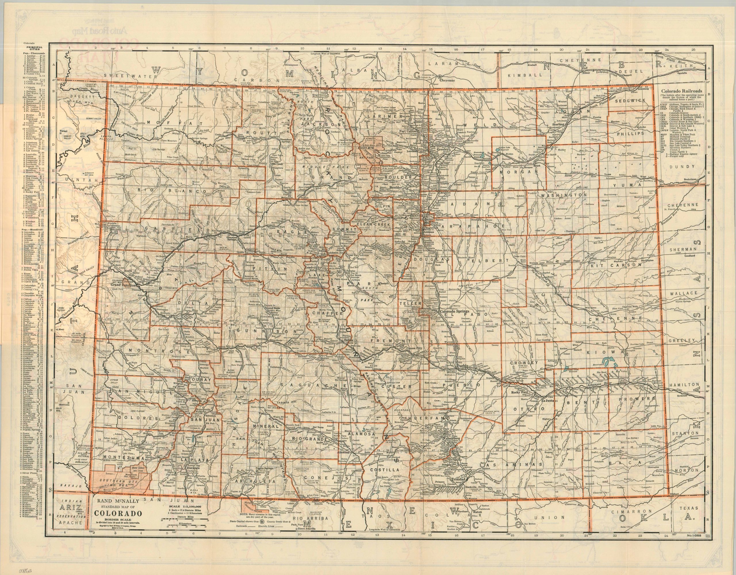
Billed as an indispensable guide “for Tourists, Travelers, Shippers, General Commercial and Business Reference,” this is the 1931 Colorado edition of Rand McNally’s popular Pocket Maps series. Collectively, the contents capture a nation eagerly attempting to build its way out of the Great Depression through infrastructure and Western tourism.
The 34-page booklet provides a brief history and geographic description of the Centennial State, a comprehensive index of places and features, and several contemporary advertisements for the legendary publishing firm. Street maps of Denver, Pueblo, and Colorado Springs are included, along with a hotel guide and more.
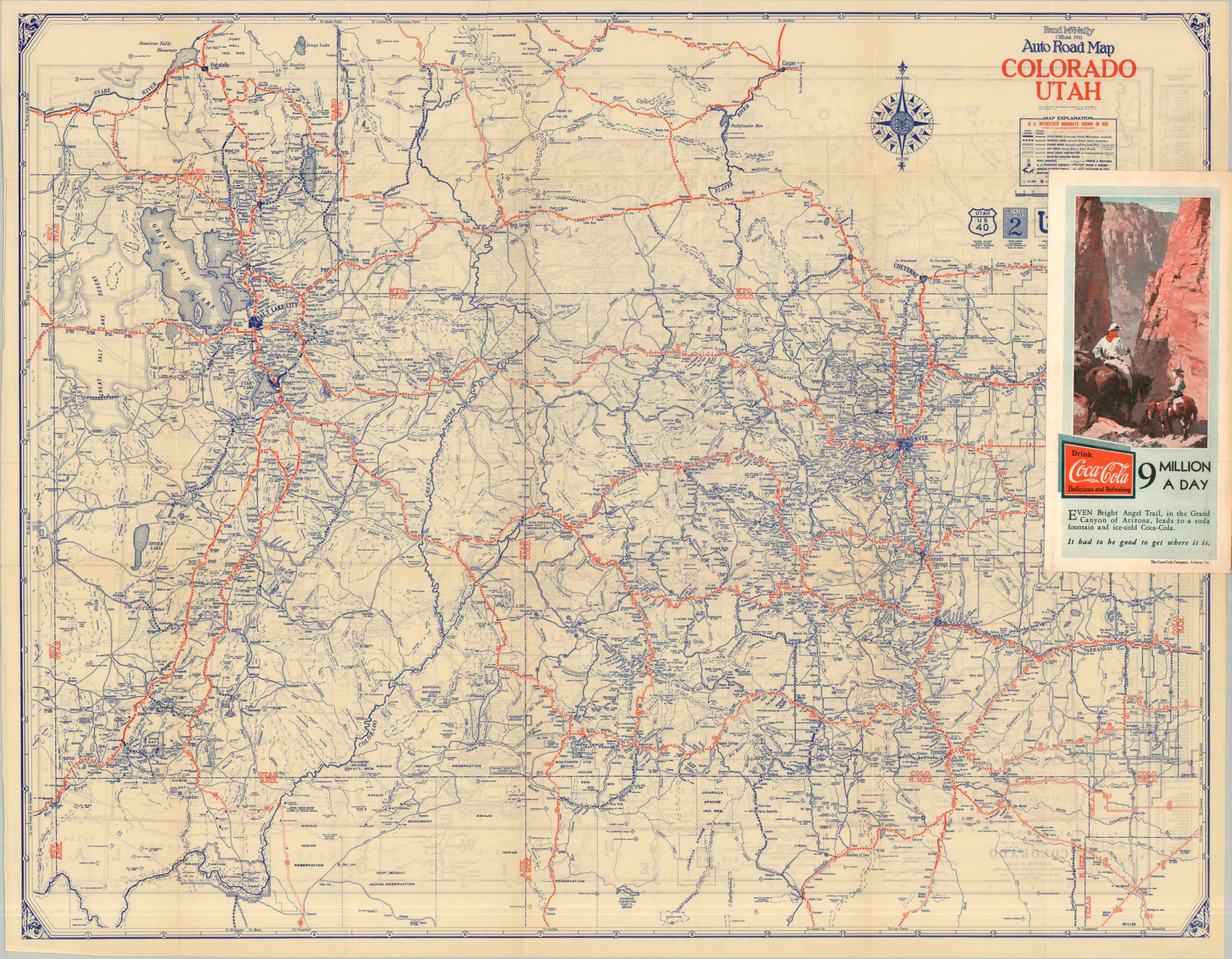
The expansive fold-out sheet offers two distinct views of the West, capturing a transportation system in transition. One side presents Rand McNally’s traditional “Standard” map of Colorado, emphasizing county lines, corporate railroad networks, and faintly hachured topography. The verso shifts focus entirely to the modern traveler, offering a detailed “Auto Road Map” of both Colorado and Utah that showcases the rapidly expanding network of federally funded highways carving through the rugged landscape.
Map Details
Publication Date: 1931
Author: Rand McNally & Company
Sheet Width (in): 27.75
Sheet Height (in): 22.00
Condition: A
Condition Description: Color printed folding map (size given) affixed to the back cover of a 36 pp. guidebook with stapled binding and illustrated covers. Creasing along folds and some light extraneous wrinkling on the sheet, but overall in very good to near fine condition.
$100.00
1 in stock