
Rand McNally Road Map of Nevada Utah
$65.00
The roads of Utah and Nevada during the Great Depression.
1 in stock
Description
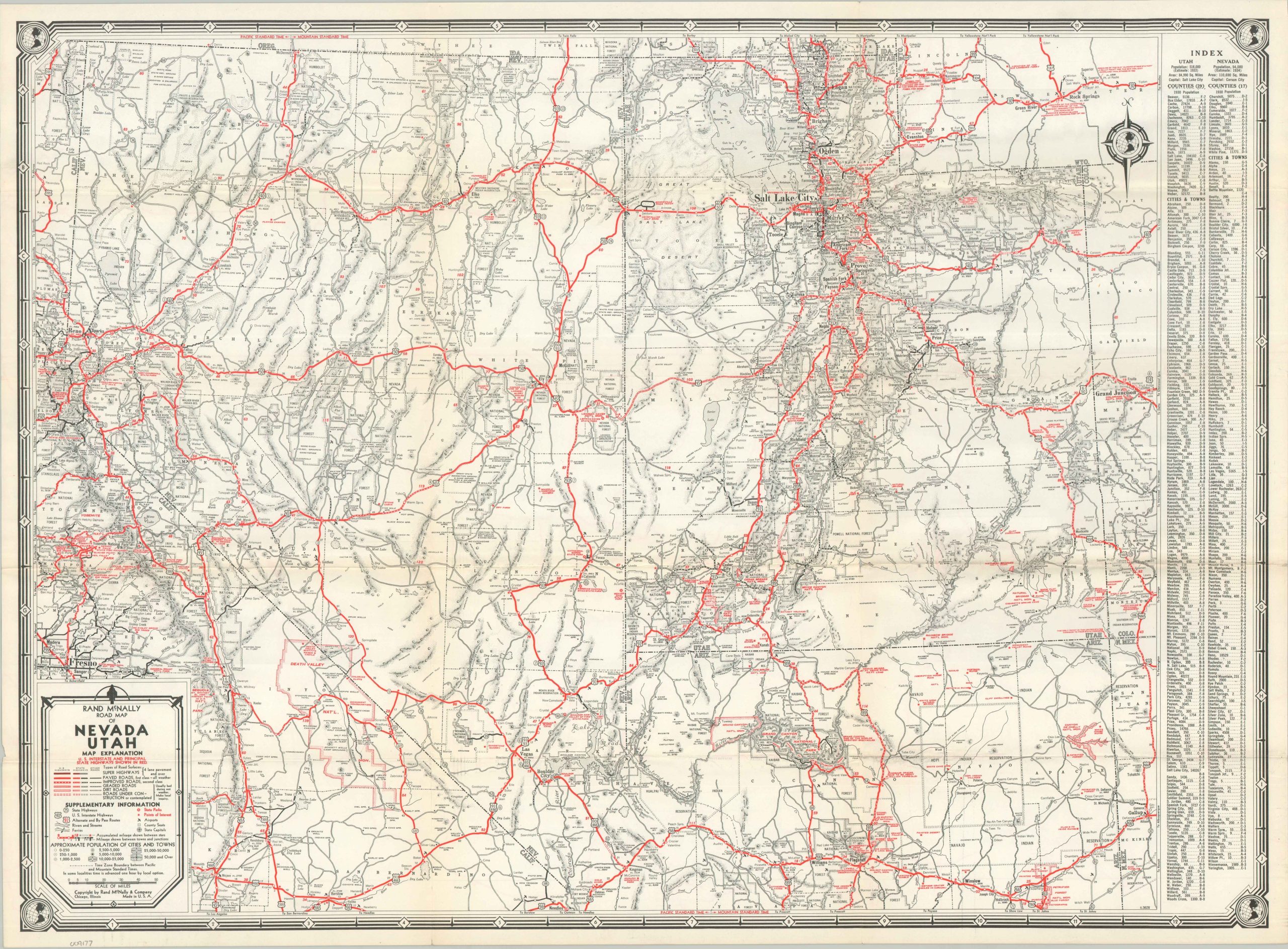
This detailed road map of Nevada, Utah, and portions of adjacent states was published by Rand McNally & Company of Chicago in 1937. The West’s network of Interstate Highways, organized just over a decade prior, is brightly highlighted with red lines. Route qualities, which range from four-lane ‘Super-Highways’ to simple dirt roads, are noted according to the detailed legend in the lower left. Airports, state parks, and other points of interest are also labeled throughout.
For the 1930s motorist, Utah and Nevada offered an escape into raw, sublime solitude – a vast desert realm where towering red-rock cathedrals, glowing neon oases, and infinite horizons invited travelers to lose themselves in the untamed heart of the American Southwest.
Map Details
Publication Date: 1937
Author: Rand McNally & Company
Sheet Width (in): 26.75
Sheet Height (in): 19.50
Condition: A-
Condition Description: Single-sided map, sharply creased along original folds. Faintly toned and small splits at fold joints. Very good overall.
$65.00
1 in stock