
Rand McNally Road Map of California
$65.00
The roads of the Golden State during the Great Depression.
1 in stock
Description
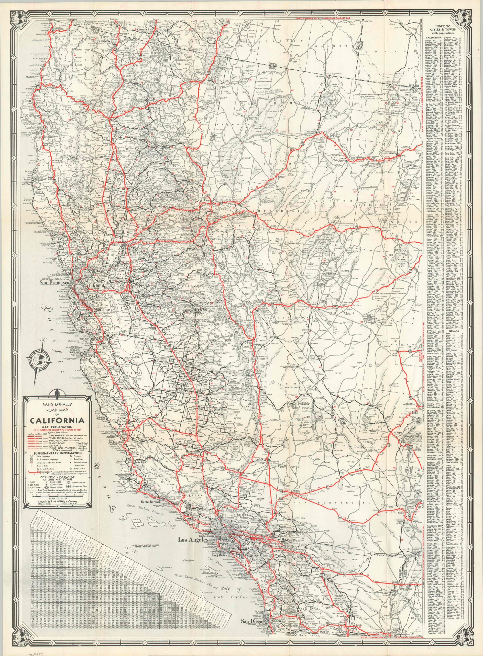
This detailed road map of California and adjacent states was published by Rand McNally & Company of Chicago in 1937. The West’s network of Interstate Highways, organized just over a decade prior, is brightly highlighted with red lines. Route qualities, which range from four-lane ‘Super-Highways’ to simple dirt roads, are noted according to the detailed legend in the lower left. Airports, state parks, and other points of interest are also labeled throughout.
In an era of nationwide hardship, California endured as America’s golden sanctuary; a land where sun-drenched citrus valleys, Hollywood romance, and the boundless Pacific horizon offered the promise of a fresh start at the end of the open road.
Map Details
Publication Date: 1937
Author: Rand McNally & Company
Sheet Width (in): 19.6
Sheet Height (in): 26.75
Condition: A
Condition Description: Single-sided map, sharply creased along original folds. slightly worn along the outer edges and a bit of wrinkling. Very good to near fine overall.
$65.00
1 in stock