
Rand McNally Official 1924 Auto Trails Map Montana
$175.00
Blazed Trails in Montana
1 in stock
Description
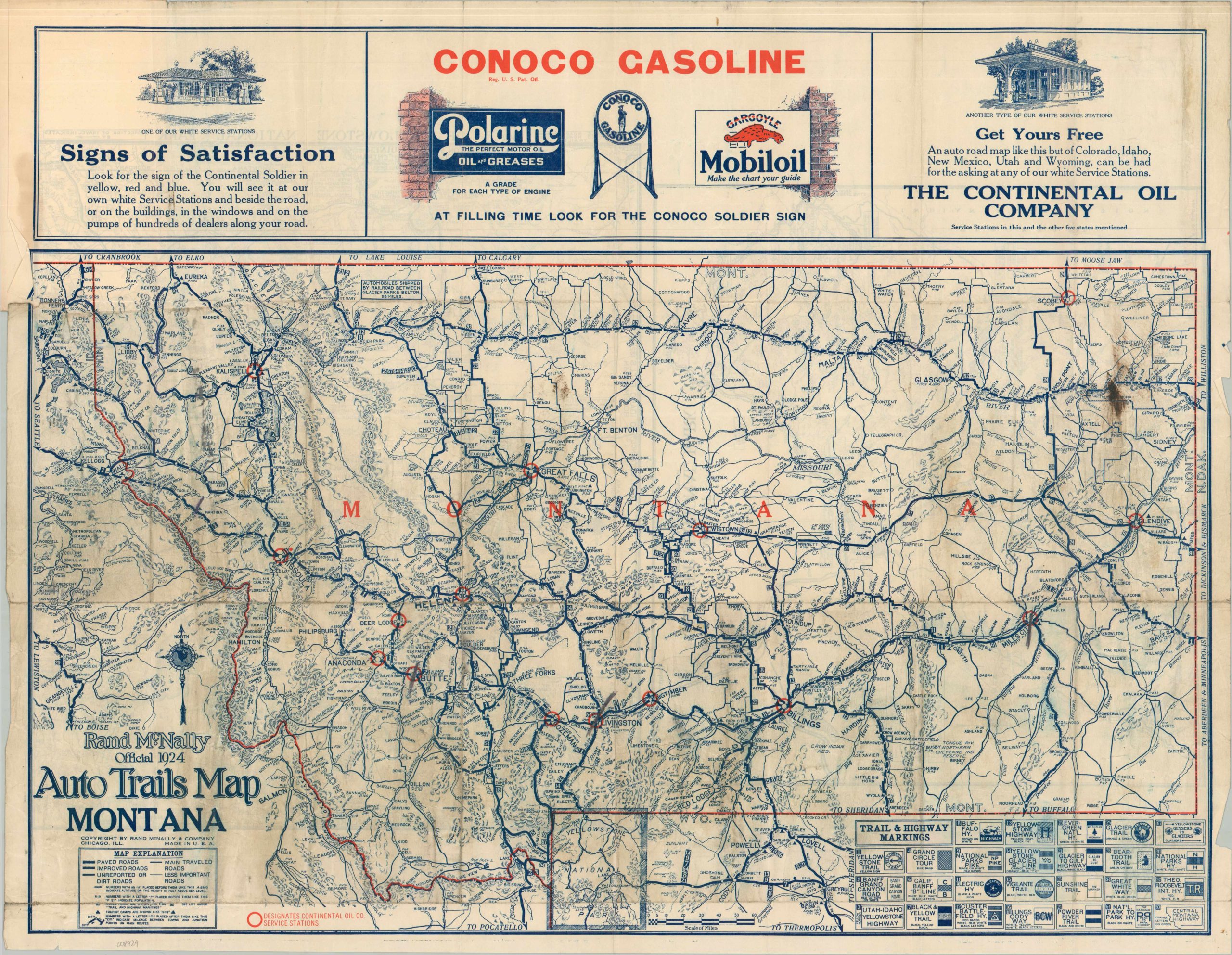
This road map of Montana was published by the Chicago-based firm of Rand McNally in 1924 and distributed to motorists compliments of the Continental Oil Company. The image (which includes portions of adjacent states) outlines the patchwork system of auto trails that existed before the implementation of the 1926 National Numbered Highway System.
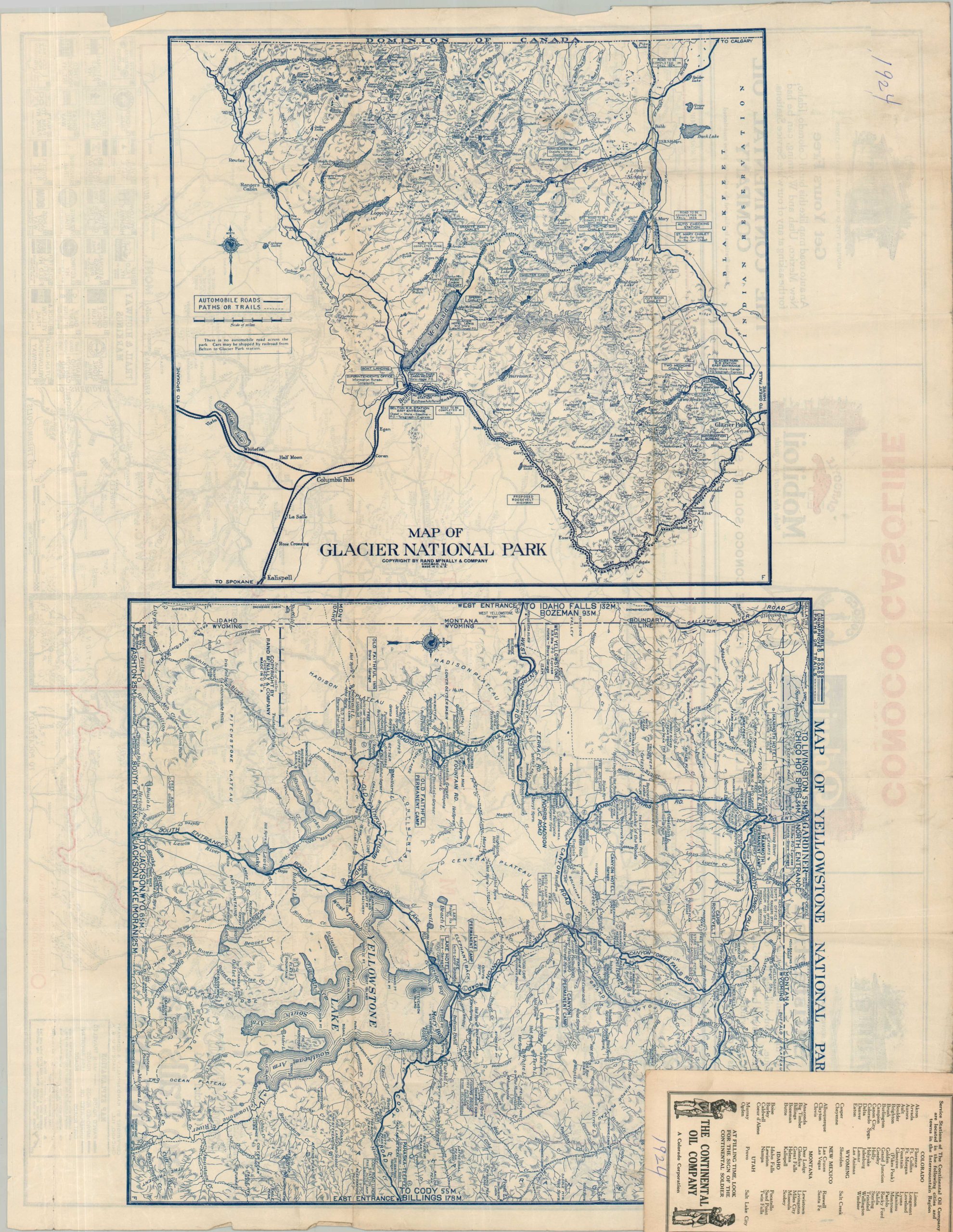
Over thirty different routes – each generally sponsored by a different private organization or association – are numbered and labeled adjacent to their respective road markers. These various trails and highways often overlapped, especially in the West. Distances between points are noted and different styles of lines denote paved, improved, or unreported/dirt roads. Free tourist auto camps are shown with small triangles – these offered some of the few Accommodations for tourists ‘on the road’ and in between cities. Red overprinted circles note the locations of Continental Oil Service Stations. A map of Glacier National Park can be found on the verso.
Map Details
Publication Date: 1924
Author: Rand McNally
Sheet Width (in): 27.75
Sheet Height (in): 22.00
Condition: B
Condition Description: Double-sided pocket map removed from original paper wraps. Moderate wear along original folds, including several closed repaired splits. Some extraneous wrinkling and scattered discoloration (see scan). Good condition overall.
$175.00
1 in stock