
Rand McNally Official 1919 Auto Trails Map District No. 1
$175.00
An early auto map of the primary roads west of Chicago.
1 in stock

Description
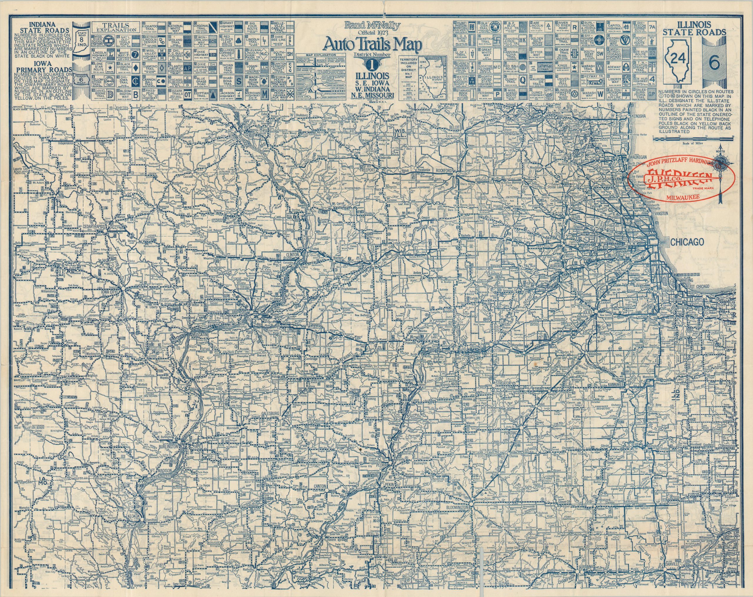
The original color wraps present this detailed pocket map as the ‘Sheridan Official Auto Road Guide,’ as it was sponsored by the tire company of the same name. This example was distributed by the Naperville Tire Repair Service in Naperville, Illinois. Unfolding the large sheet reveals the 1919 edition of Rand McNally’s Auto Trails Map of District Number 1; covering much of the Upper Midwest between western Indiana and Iowa City. Major urban areas include St. Louis, Chicago, and the Quad Cities.
The image highlights the growing network of roads serving the large region, with paved routes shown via bold lines. Population is noted for dozens of towns and villages (Helena, IL has only 12 residents!). Numerous marked trails are noted according to the legend along the top of the page – before the introduction of the Numbered Highway System in 1926, there was an inefficient mishmash of public and private organizations that maintained and named individual routes. Each had its own system of signage, leading to much confusion for early motorists. Of particular interest are the Swastika Trail, the Pikes Peak Ocean-to-Ocean Highway, and the Burlington Way (a predecessor to Route 66).
Map Details
Publication Date: 1919
Author: Rand McNally
Sheet Width (in): 22.2
Sheet Height (in): 30
Condition: A-
Condition Description: Single-sided map folded into 24 segments and affixed to original illustrated paper wraps (moderately worn). Some soiling in the upper left from the adhesive used. Wrinkling and faint wear along fold lines and the occasional spot of foxing or surface soiling. Good to very good condition overall.
$175.00
1 in stock