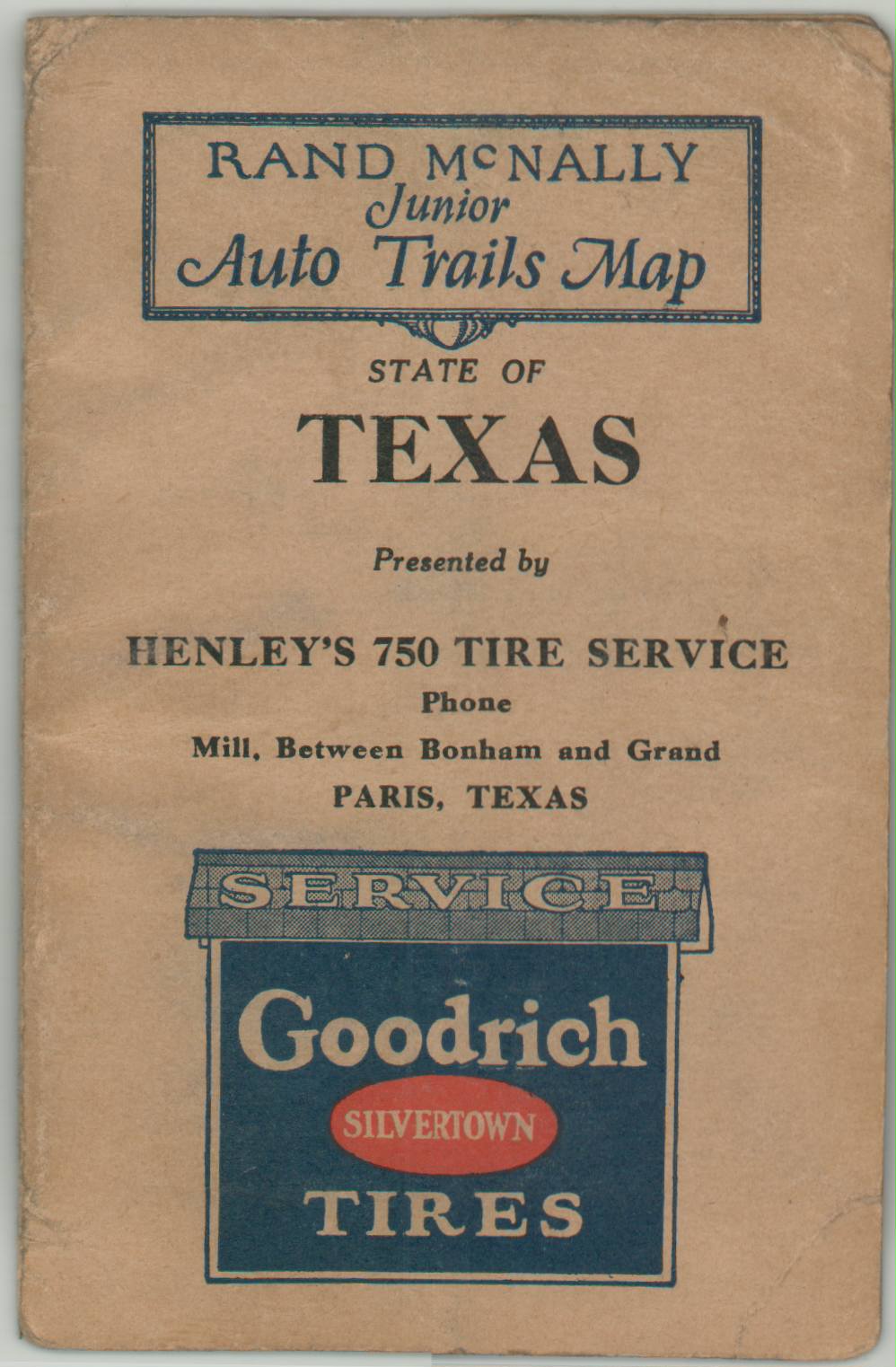
Rand McNally Junior Road Map Texas
$200.00
The roads of Texas in the mid-1920s.
1 in stock
Description
This detailed road map of Texas was published in Chicago by Rand McNally in 1926, according to the date code in the lower left corner. Major automobile routes are shown according to their surface composition, with at least six different distinctions ranging from paved to unreported or dirt roads identified according to the legend in the lower left. Immediately adjacent are the sign markers for Texas State Highways and the U.S Numbered Highways, the latter being officially adopted nationwide the same year as publication. Several highways are named within the image, reflecting their earlier nomenclature.
An inset in the upper left presents the northwestern part of the state, while a second inset in the lower center shows the ‘Brownsville Section’ to the south. Advertisements for Goodrich Tires are present on the front covers.
Map Details
Publication Date: 1926
Author: Rand McNally
Sheet Width (in): 17.5
Sheet Height (in): 11.75
Condition: A
Condition Description: Pocket map folded into 24 panels and affixed to original stiff gray paper wraps. Light wear and creasing along fold lines, including some minor toning and pinholes at fold intersections. Faint scattered soiling and some old manuscript annotations (in pencil) visible in a few places within the image, but overall in very good condition.
$200.00
1 in stock


