Rand McNally Junior Auto Trails Map of the United States
$145.00
A convenient (though somewhat impractical) mid-1920s guide to America’s highways.
1 in stock
Description
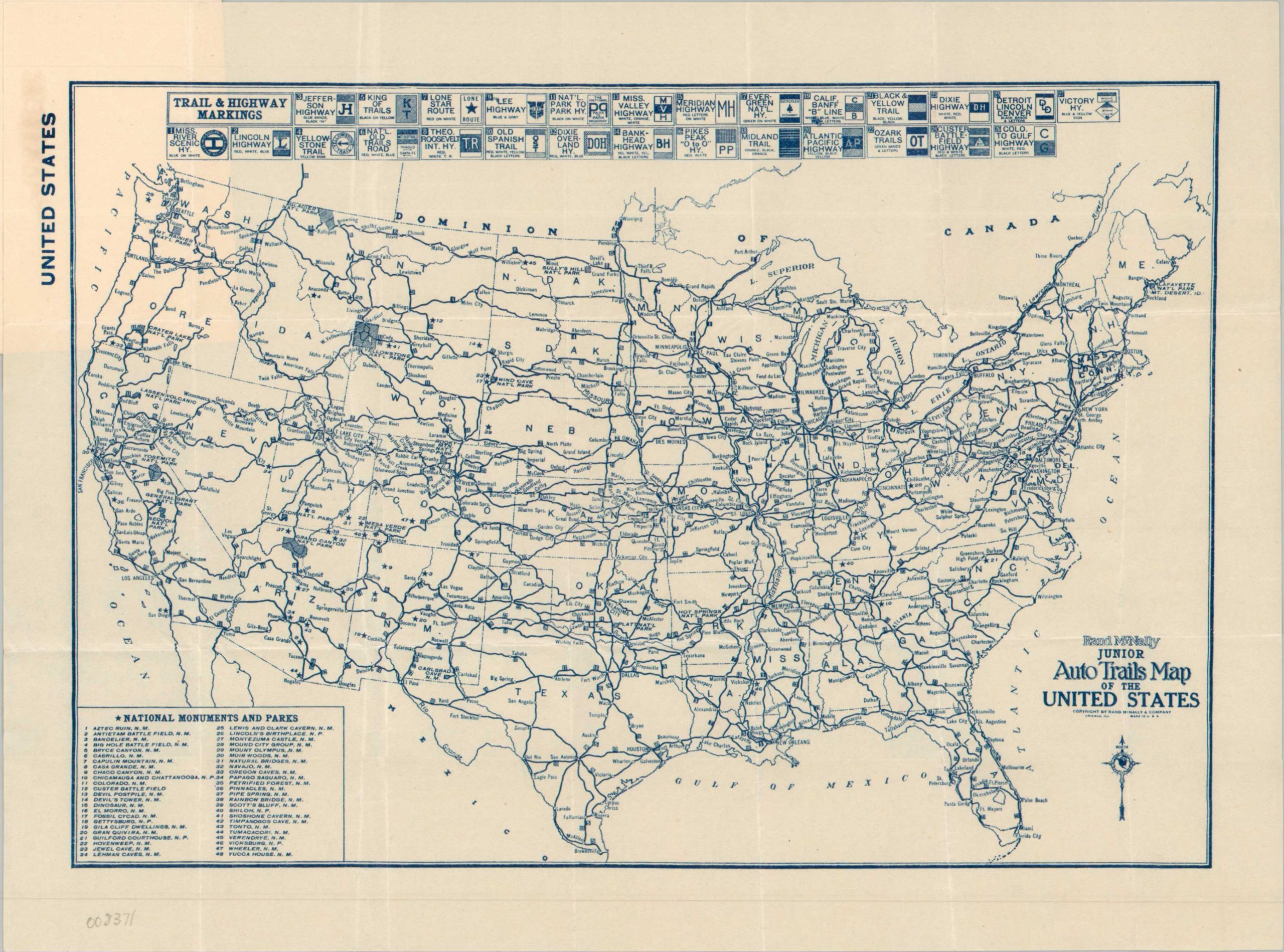
Before the adoption of the 1926 National Numbered Highway System, America’s network of primary automobile roads was a series of routes generally sponsored by private organizations and associations. These auto trails could change without notice (especially due to the changed participation of local chambers of commerce) and vary wildly in quality, amenities, and signage.
This map, published by Rand McNally, shows the nation’s roads near the end of that era. The primary auto trails are listed across the top, each assigned a number and noting its respective ‘sign’ (usually posted on utility poles or on special markers). These then criss-cross the country, offering adventurous motorists a myriad of options for their prospective trip. A list of 48 National Monuments and Parks, lower left, offers a summary of many of the most popular destinations of the time.
Map Details
Publication Date: c. 1925
Author: Rand McNally
Sheet Width (in): 11.75
Sheet Height (in): 9.00
Condition: A
Condition Description: Single-sided pocket map neatly folded into small original illustrated paper covers. Very good to near fine condition, with a bit of light marginal/cover wear consistent with age.
$145.00
1 in stock