
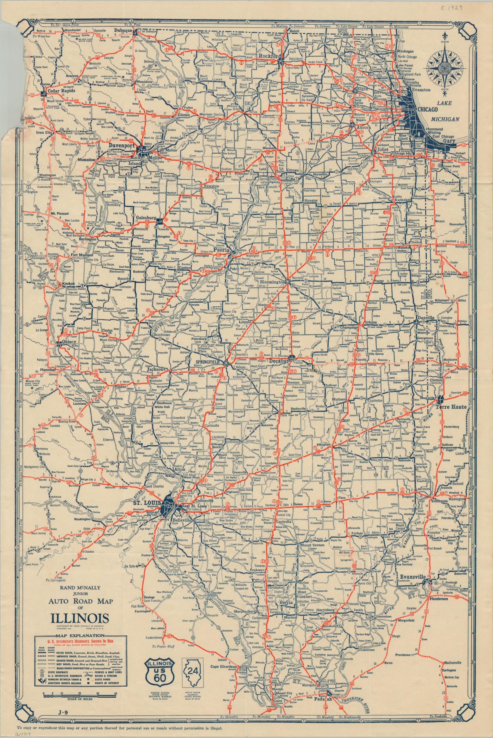
Rand McNally Junior Auto Road Map of Illinois
$45.00
Highlighting the new system of numbered highways across Illinois
1 in stock
Description
This informative road map was published by Rand McNally & Co. in 1928. It provides an explanation of road surfaces across the state of Illinois and adjacent states, with possibilities ranging from paved (brick, concrete, macadam, or asphalt) to routes of sand or dirt. Numerous highways are noted as under construction, reflecting the early years of the nationally organized system.
Map Details
Publication Date: 1928
Author: Rand McNally
Sheet Width (in): 12.00
Sheet Height (in): 18.00
Condition: B-
Condition Description: A large chip in the upper left corner where previously bound to original covers (now lost). Creasing and light wear along original folds.
$45.00
1 in stock