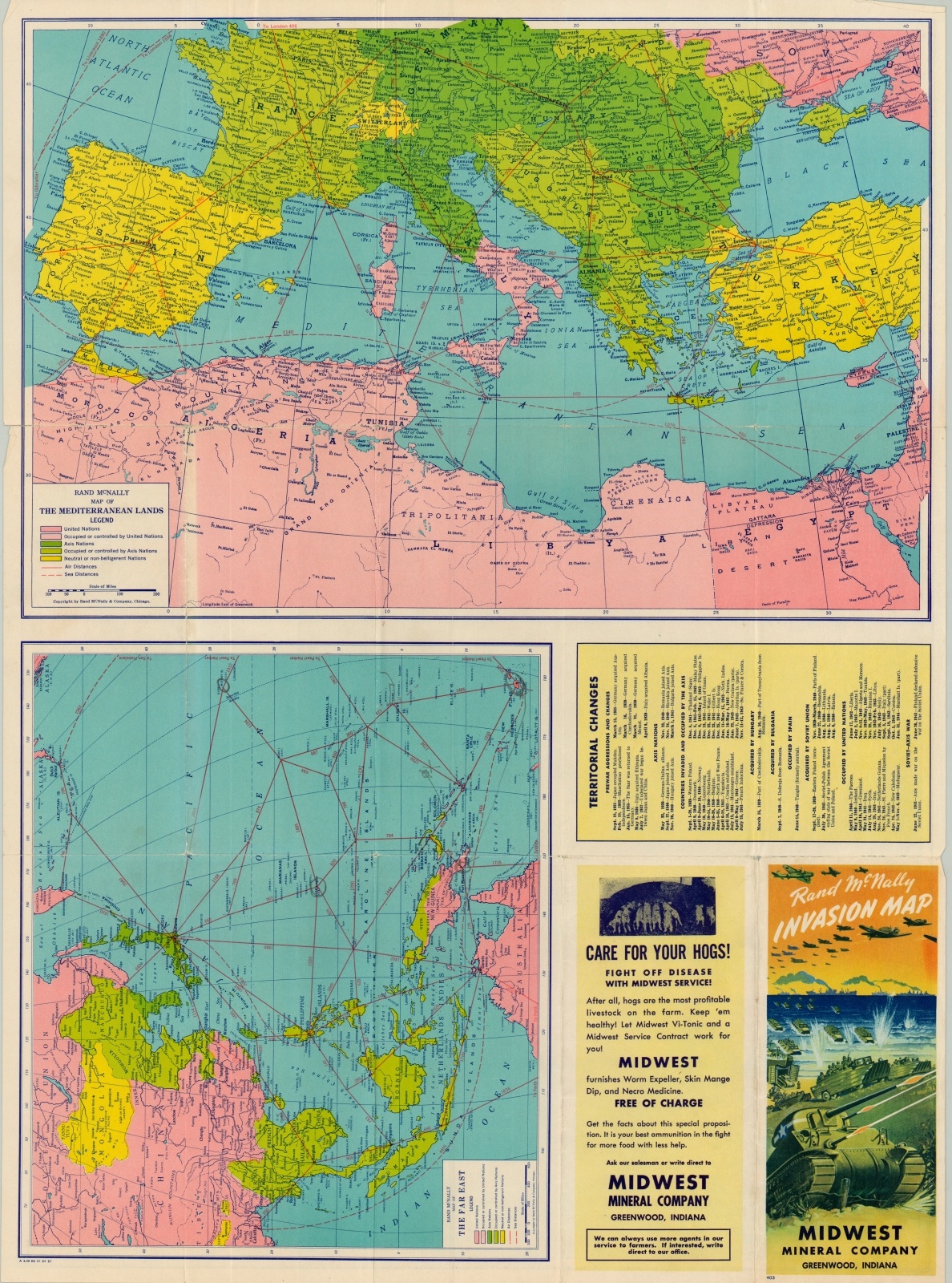
Rand McNally Invasion Map
Fortress Europe on the verge of the Normandy Invasion.
Out of stock
Description
Published on the verge of the largest amphibious operation in the history of the world, Rand McNally allows the audience to plan their own invasion with this map. Air and sea distances between major ports are provided, while bright splashes of color show the large expanses of territory under Axis control.
One side of the map presents Fortress Europe, while the other shows The Far East and the Mediterranean/North Africa. An interesting advertisement for the local distributor is available on the verso, giving some indication as to the method such material was dispersed to the public.
Map Details
Publication Date: 1944
Author: Rand McNally
Sheet Width (in): 26.50
Sheet Height (in): 19.40
Condition: A
Condition Description: Creasing and light wear along originally issued fold lines and along the outer edges of the sheet. Near fine, with vibrant lithographed color.
Out of stock


