Rand McNally Indexed Pocket Map and Auto Road Guide Utah
$80.00
An interesting dual-purpose transportation guide to Utah from 1918.
1 in stock
Description
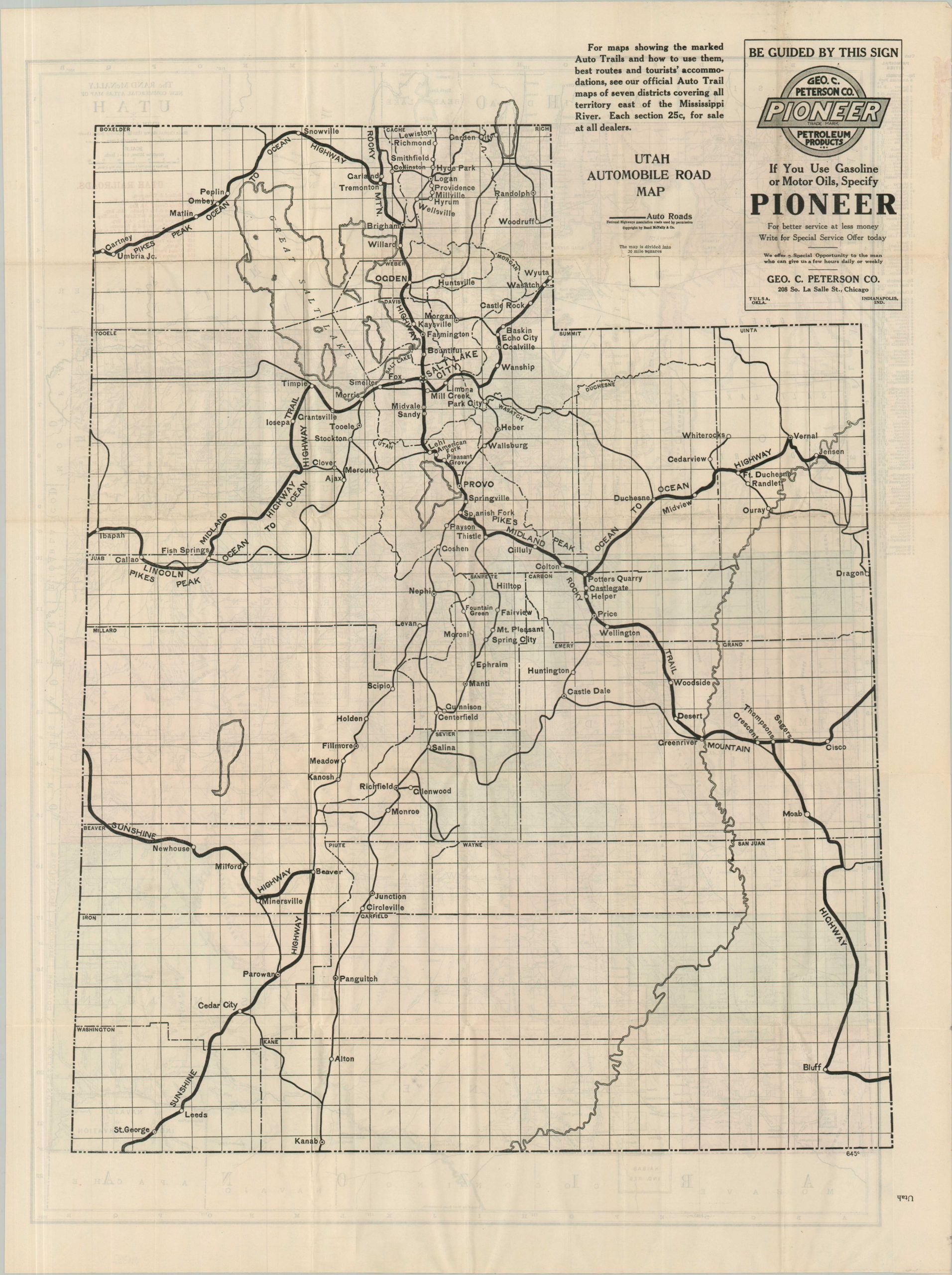
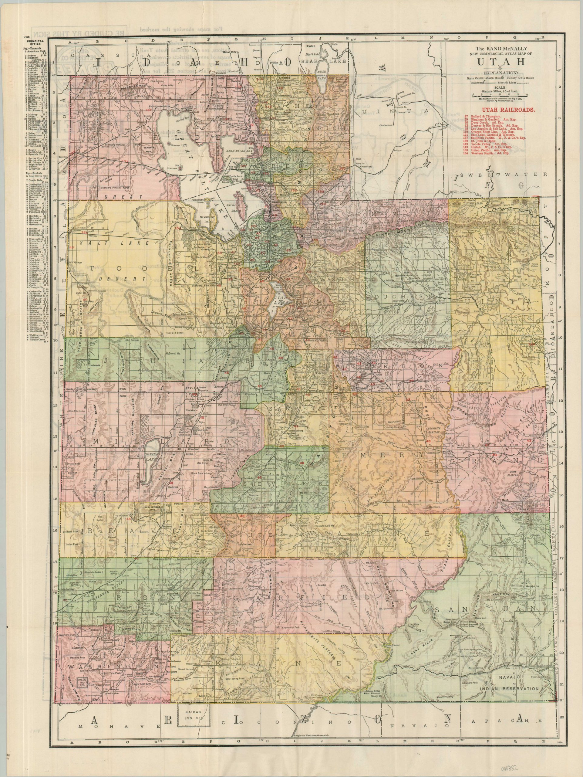
This interesting 1918 publication by Rand McNally & Co. of Chicago captures well the transportation revolution that swept across America in the first half of the 20th century. The rise of the automobile totally changed the nature of personal and commercial transportation, usurping the iron horse as the king of the road.
A large folding map of Utah shows the steam and electric railroads in operation (thirteen total) across the state, with small hachures noting topographic features. The verso is a Utah Automobile Road Map, a much simpler (and colorless) image that identifies primary auto roads, according to the National Highway Association. The sheet is affixed to a small pamphlet containing numerous contemporary advertisements, an index of place names, and other relevant transportation information.
Map Details
Publication Date: 1918
Author: Rand McNally
Sheet Width (in): 20.75
Sheet Height (in): 28.00
Condition: A
Condition Description: Double-sided pocket map (size given) folded and affixed to original 36 pp. booklet. Some rust from the stapled binding and light wear along original folds, but overall in very good condition.
$80.00
1 in stock