
Rand McNally Hand Map of the Loop District of Chicago
$275.00
Downtown Chicago during the Roaring 20s.
1 in stock

Description
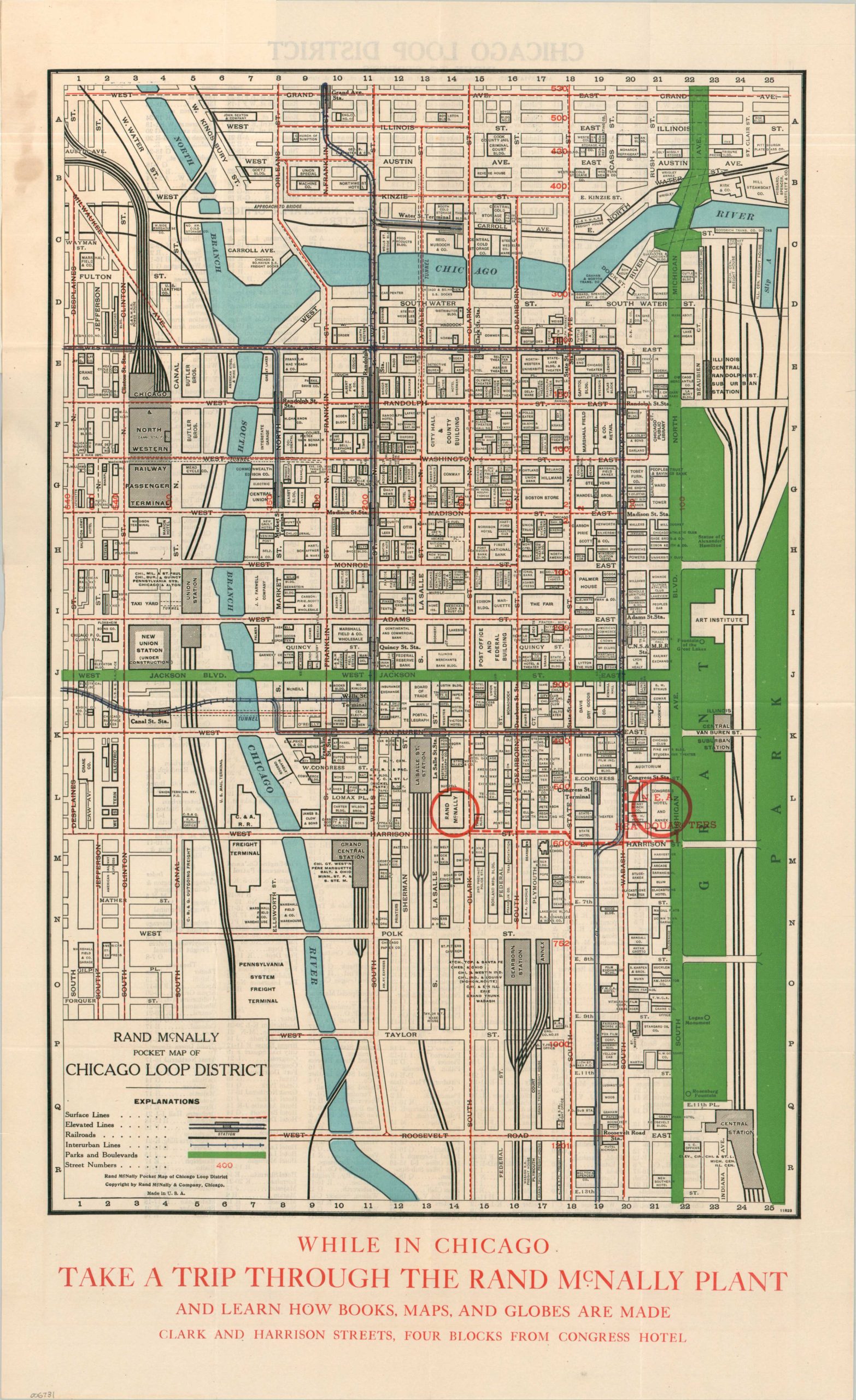
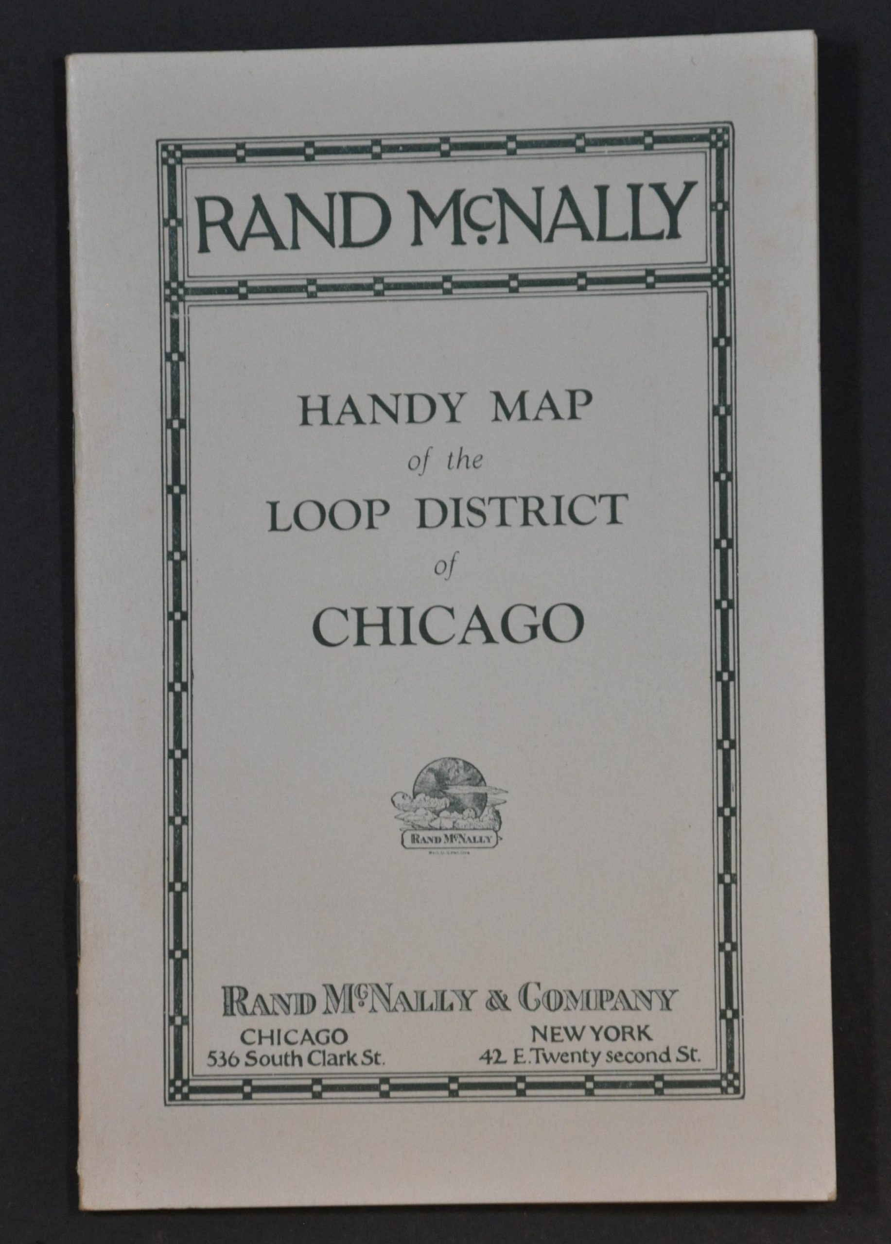
This incredibly detailed map of downtown Chicago was published locally around 1924 by the well-known firm of Rand McNally & Co. The sheet was issued affixed to a blank notebook and circles (in red) the location of N.E.A. Headquarters at the Congress Hotel, so it’s safe to assume that the piece was distributed in conjunction with a National Education Association meeting. Text at the bottom of the page encourages attendees to ‘Take a trip through the Rand McNally Plant and learn how books, maps and globes are made.” Only about a four block walk!
The image provides a spectacular overview of the heart of the Windy City at a period of tremendous change. Buildings are individually outlined and labeled, including new or ongoing construction at Union Station, the Wrigley Building, Tribune Tower, and the Chicago Temple – all of which remain iconic landmarks in the city. Lesser-known retailers, hotels, restaurants, and other businesses are also named. The recent introduction of Prohibition (1920) also ushered in Chicago’s era of speakeasies and gangsters, though these are less obvious within the content of the map.
Map Details
Publication Date: c. 1924
Author: Rand McNally
Sheet Width (in): 13.75
Sheet Height (in): 22.9
Condition: A
Condition Description: Large folding map affixed to the back of a blank notebook - about 20 pages stapled to stiff paper wraps. Some discoloration on the map from the adhesive (upper left), but overall in near fine condition.
$275.00
1 in stock