
Rand McNally Dist-O-Map
$60.00
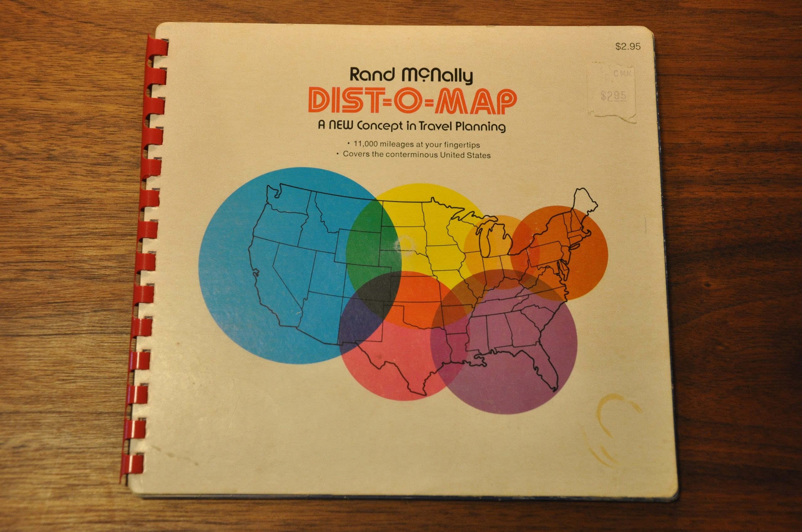
“11,000 mileages at your fingertips.”
1 in stock


Description
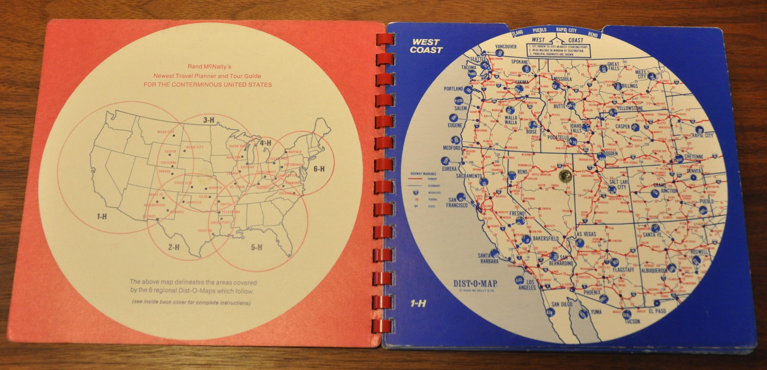
This novel trip planning atlas was issued around 1980 by the travel publishing juggernaut Rand McNally (based on the completion of I-5). According to instructions on the inside of the back cover, the Dist-O-Map performs three critical functions; point to point distances, the best highway numbers to follow between points, and the distances between principal cities along primary routes.
An index map on the front cover shows how the following six pages cover various areas of the conterminous United States. Each page includes a wheel that, when spun, dictates various starting points within the region. Mileage numbers within the map change according to the starting point selected.
Map Details
Publication Date: c. 1980
Author: Rand McNally
Sheet Width (in): 8
Sheet Height (in): 7.5
Condition: A-
Condition Description: A bit of staining on the covers and faint pencil markings on the West Central map. Faint wear in the corners of each page. Functions well.
$60.00
1 in stock