Rand McNally Cosmopolitan World Map
$75.00
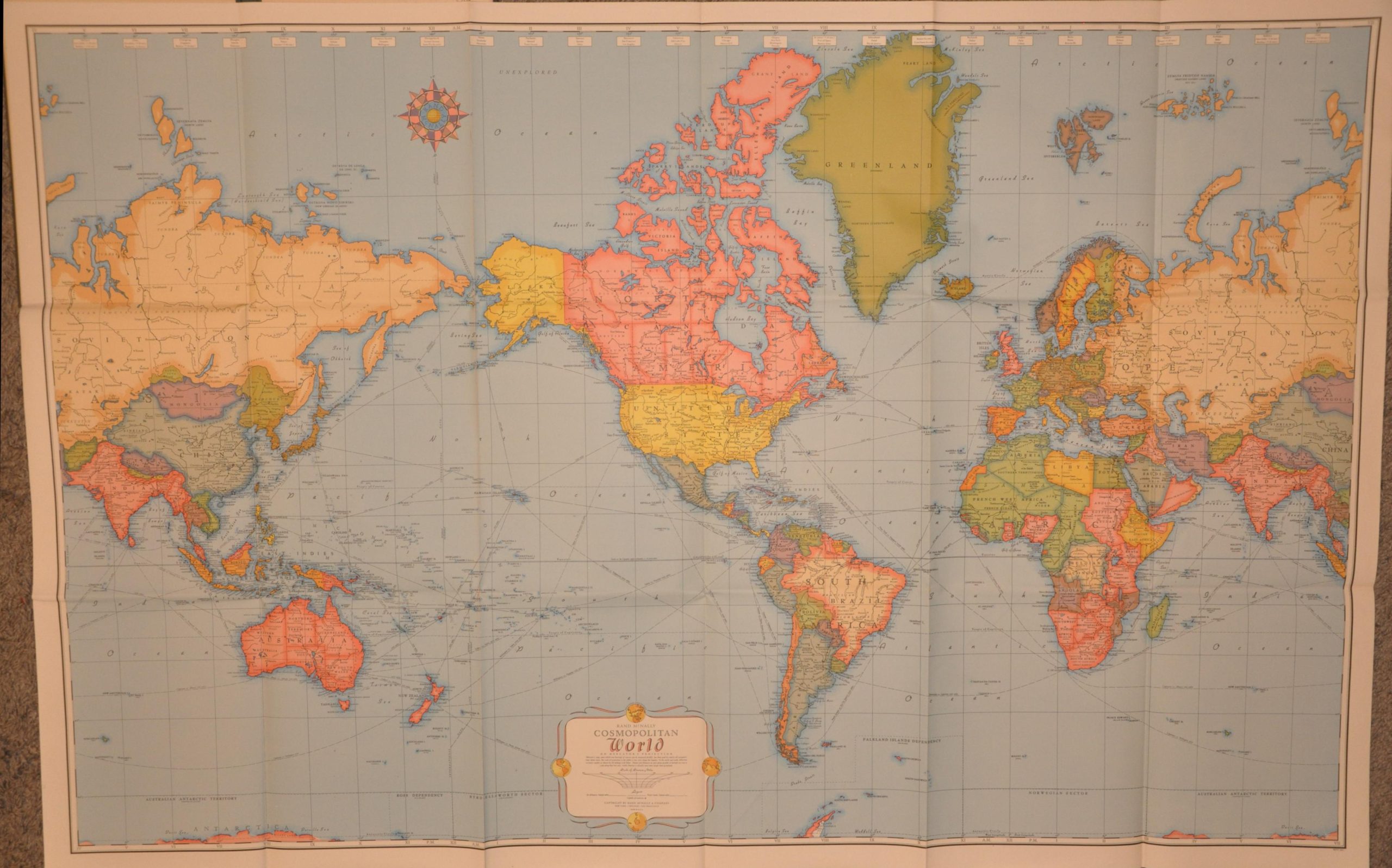
The world shortly before America’s entry into World War II.
1 in stock

Description
This vibrantly colored political map outlines the world using Mercator’s Projection, offering a detailed look at national borders, major infrastructure, and prominent geographic features around the globe. Of particular interest is the presentation of German territory at its maximum extent before the outbreak of war. Faint overprinting in orange indicates this updated example was issued late,r as it reflects various regional Allied and Axis occupations. The opening of the Eastern Front indicates it was printed after the outbreak of Operation Barbarossa in June 1941.
Map Details
Publication Date: 1941
Author: Rand McNally
Sheet Width (in): 50.00
Sheet Height (in): 32.25
Condition: A
Condition Description: Chromolithographed map on thick, vinyl-like paper folded into fifteen segments and affixed to stiff green cloth covered boards (probably as issued). Creased along folds and very faint wear on the covers, but overall in very good to near fine condition.
$75.00
1 in stock