
Rand McNally & Co’s New Handy Map of New York City
$175.00
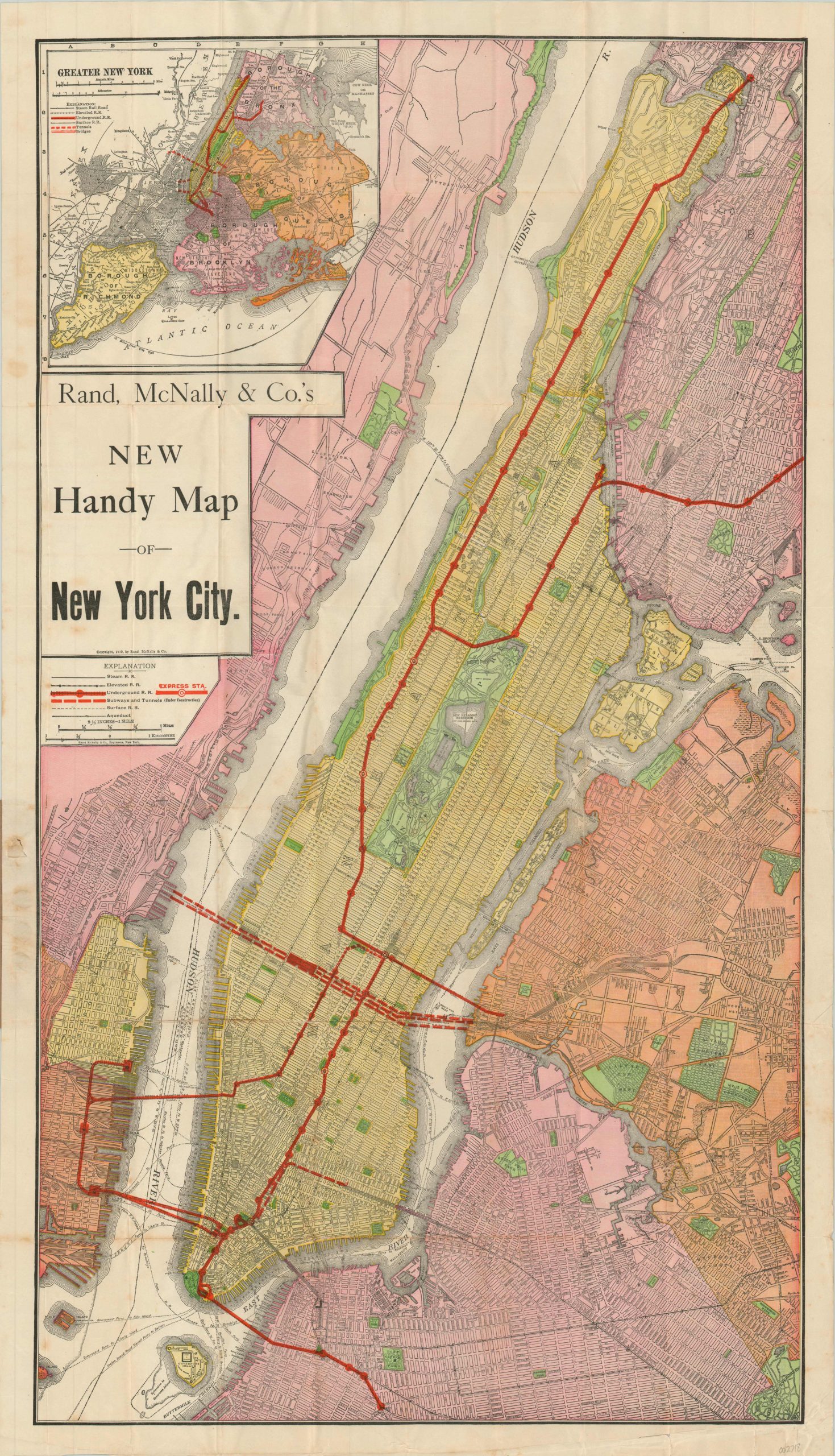
Traveler’s pocket map of New York City published in 1910.
1 in stock
Description
This wonderfully detailed transportation map of New York City captures the complicated mélange of options available to the traveler in the early 20th century. Five separate types of lines are identified according to the legend found below the title block, including steam railroads, elevated railroads, underground railroads, surface railroads, subways and express stations. Roads, public green spaces (primarily parks and cemeteries) and important landmarks and buildings are also individually labeled.
An inset map in the upper left corner extends the images to the five boroughs of the Greater New York City region, while the verso contains an extensive index of locations of interest across the area. The pocket map was published in Chicago by Rand McNally in 1910 and includes the original paper wrappers with photographic advertisements for the Green Hotel in Philadelphia.
Map Details
Publication Date: 1910
Author: Rand McNally
Sheet Width (in): 20.1
Sheet Height (in): 35.00
Condition: B
Condition Description: Moderately soiled around the margins and light to moderate wrinkling and creasing from where previously folded. Discoloration along a few fold lines (lower right), but remains in good condition overall. Affixed to original brown pictorial paper wrappers.
$175.00
1 in stock