Rand McNally Commercial and Reference Maps and Map-Tack Systems Tacks and Cases City Guides
$90.00
Just the type of map YOU want!
1 in stock


Description
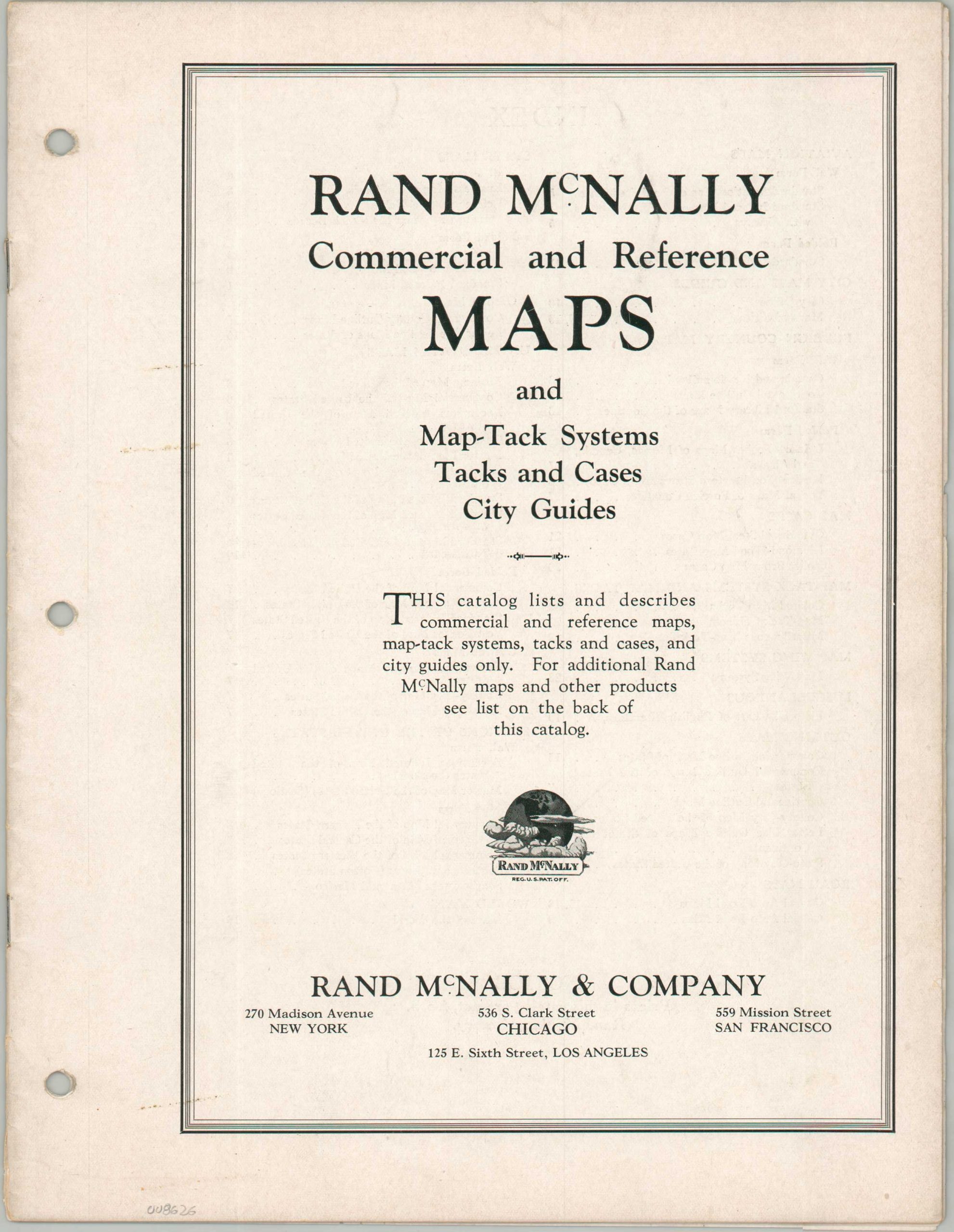
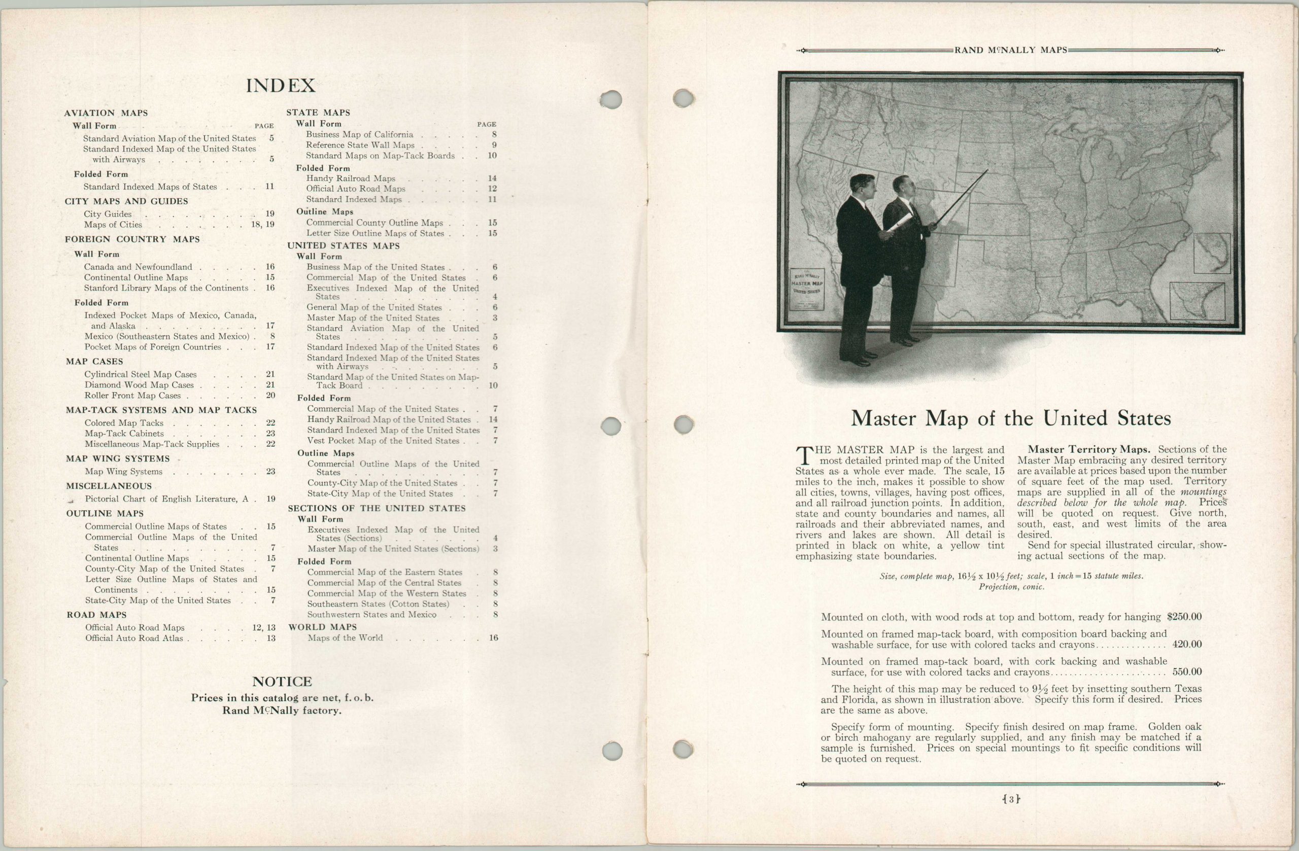
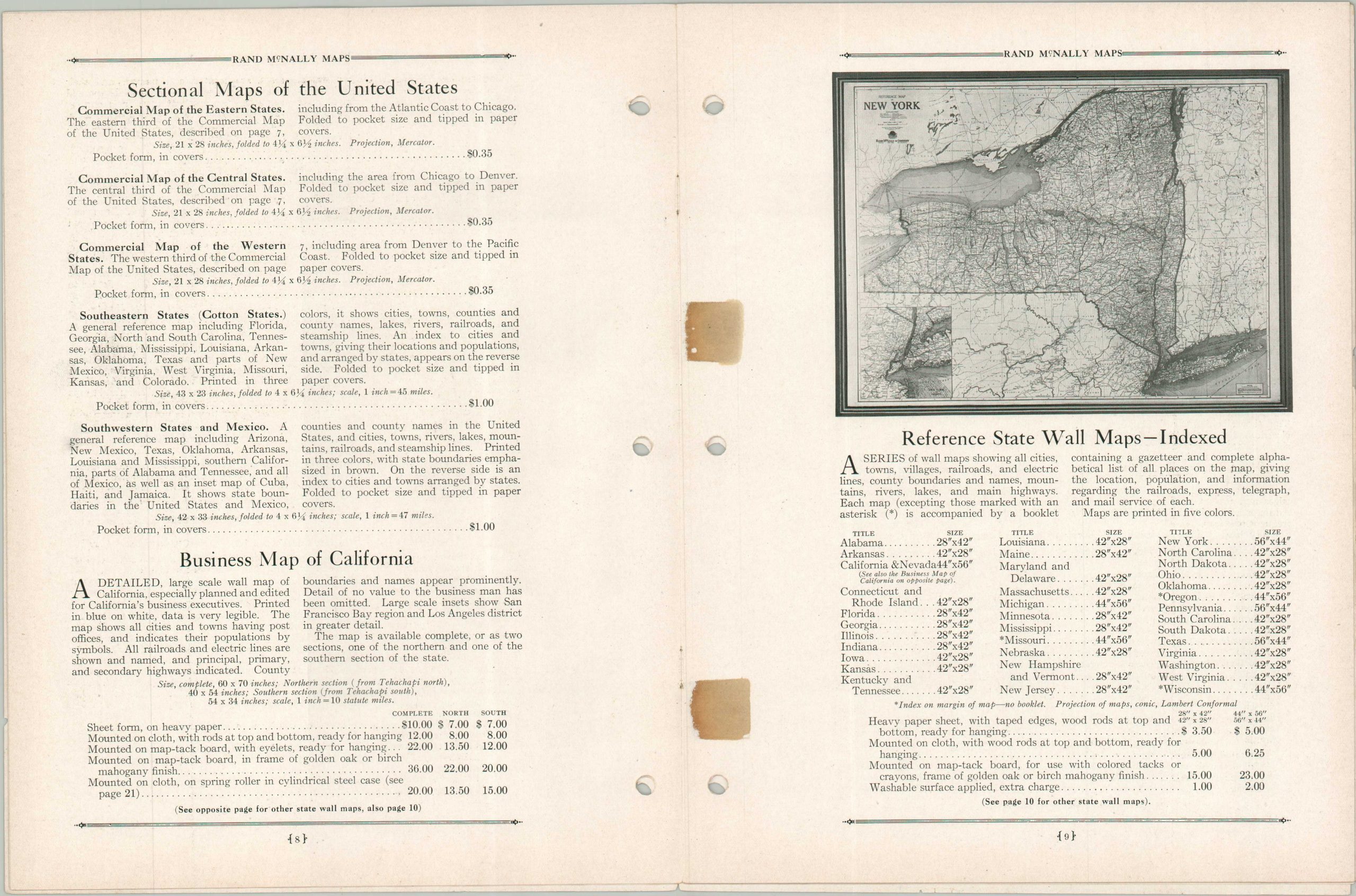
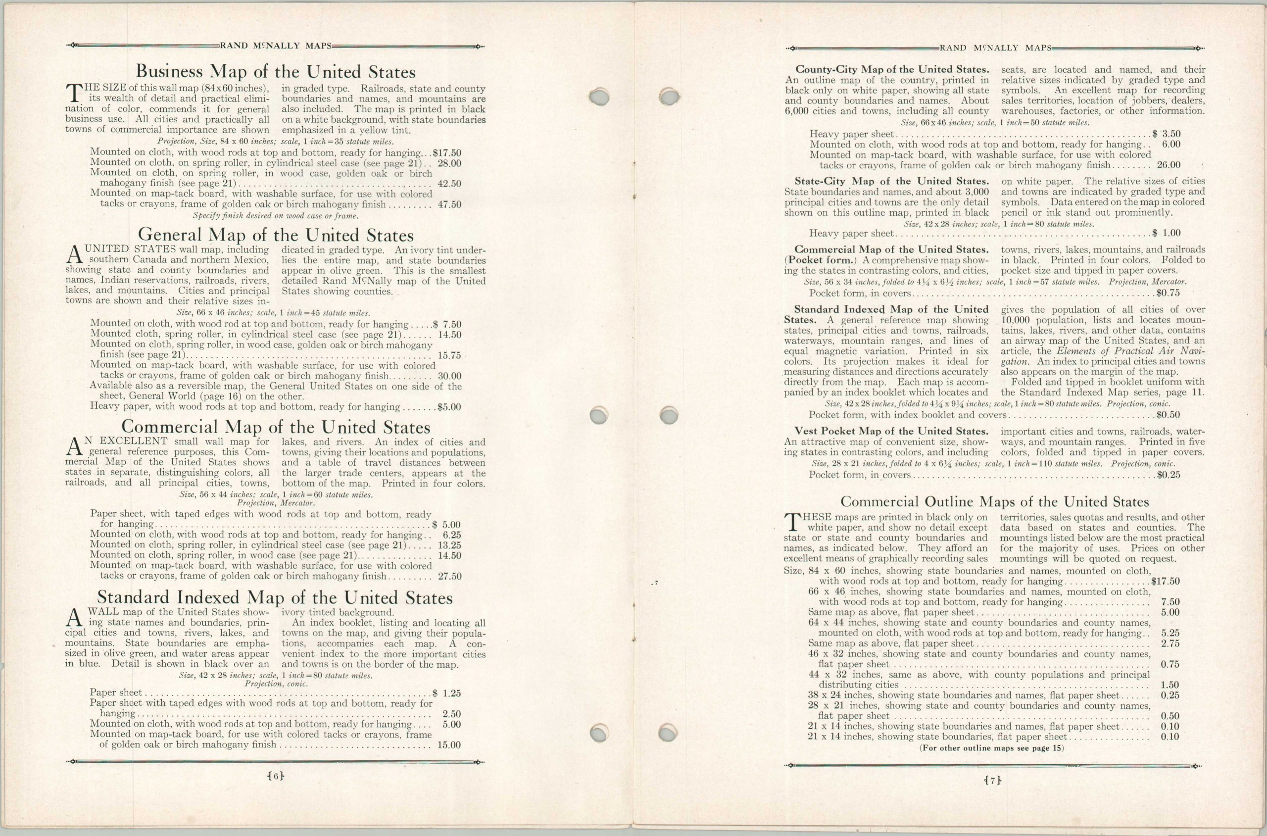
This uncommon catalog, printed in 1930, highlights the broad range of products offered by Rand McNally & Company during the Interwar Period. They range from diminutive and inexpensive pocket maps to the massive ‘Master Map of the United States – over 16 feet long, with the deluxe edition (mounted with washable surface) costing $550! Other interesting items include a short-lived series of Air Trail maps, the iconic Official Auto Road Maps, city guides, and an innovative variety of display and storage systems. Text on the back cover assures the reader that Rand McNally has experts on hand, ready to meet any business needs.
Map Details
Publication Date: 1930
Author: Rand McNally & Company
Sheet Width (in): 8.50
Sheet Height (in): 10.90
Condition: B+
Condition Description: 24 page catalog, loosely bound with with several old pieces of cellophane tape keeping the sheets together. Three holes punched on the left side and minor toning and wear, consistent with age. Good condition overall.
$90.00
1 in stock