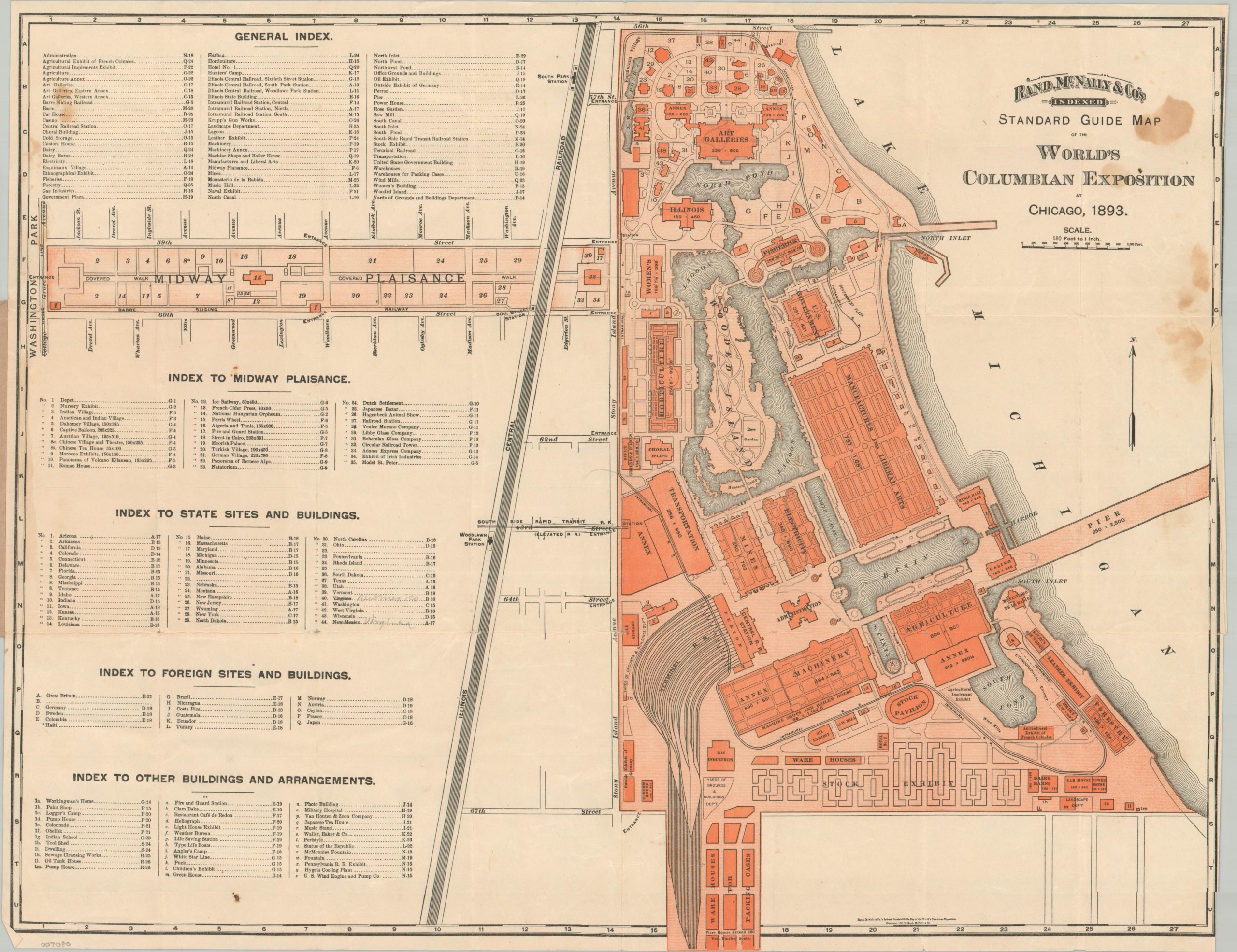
Rand McNally & Co.’s Standard Guide Map of the World’s Columbian Exposition at Chicago, 1893.
$100.00
Detailed plan of the 1893 Columbian Exposition by Rand McNally.
1 in stock
Description
The Columbian Exposition held at Chicago’s Jackson Park in 1893 is one of the most iconic events in the (relatively short) history of the great city. Less than 25 years after a devastating fire destroyed much of it’s downtown, Chicago rapidly rebuilt to surpass New York, St. Louis, and Washington, D.C. as the host of a World’s Fair to celebrate the 400th anniversary of Columbus’ arrival to the New World. Though it opened a year later than originally hoped, the fair was a tremendous success and saw over 27 million attendees during its six-month run.
This map of the White City and adjacent Midway Plaisance was published in Chicago in 1893 by Rand McNally & Company. Dozens of buildings, exhibits, and attractions are outlined and identified in the accompanying indices. Highlights include the gigantic Manufacturers and Liberal Arts Building, the iconic Ferris Wheel, a casino, and the Art Galleries (rebuilt as today’s Museum of Science and Industry).
Map Details
Publication Date: 1893
Author: Rand McNally
Sheet Width (in): 19.4
Sheet Height (in): 15.2
Condition: B
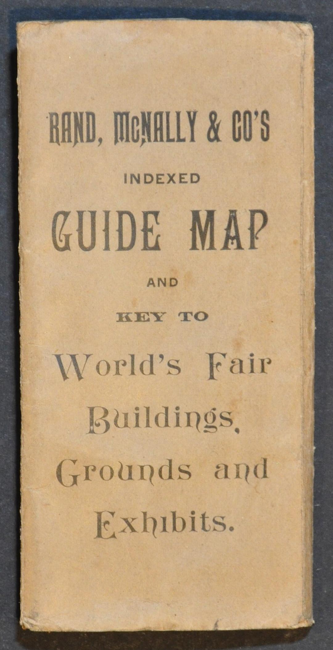
Condition Description: Single sided pocket map folded and affixed to original brown paper covers. Scattered spotting visible in the upper right corner, around the title, but the image is largely unaffected. Light wear and faint toning along folds. About good condition overall.
$100.00
1 in stock