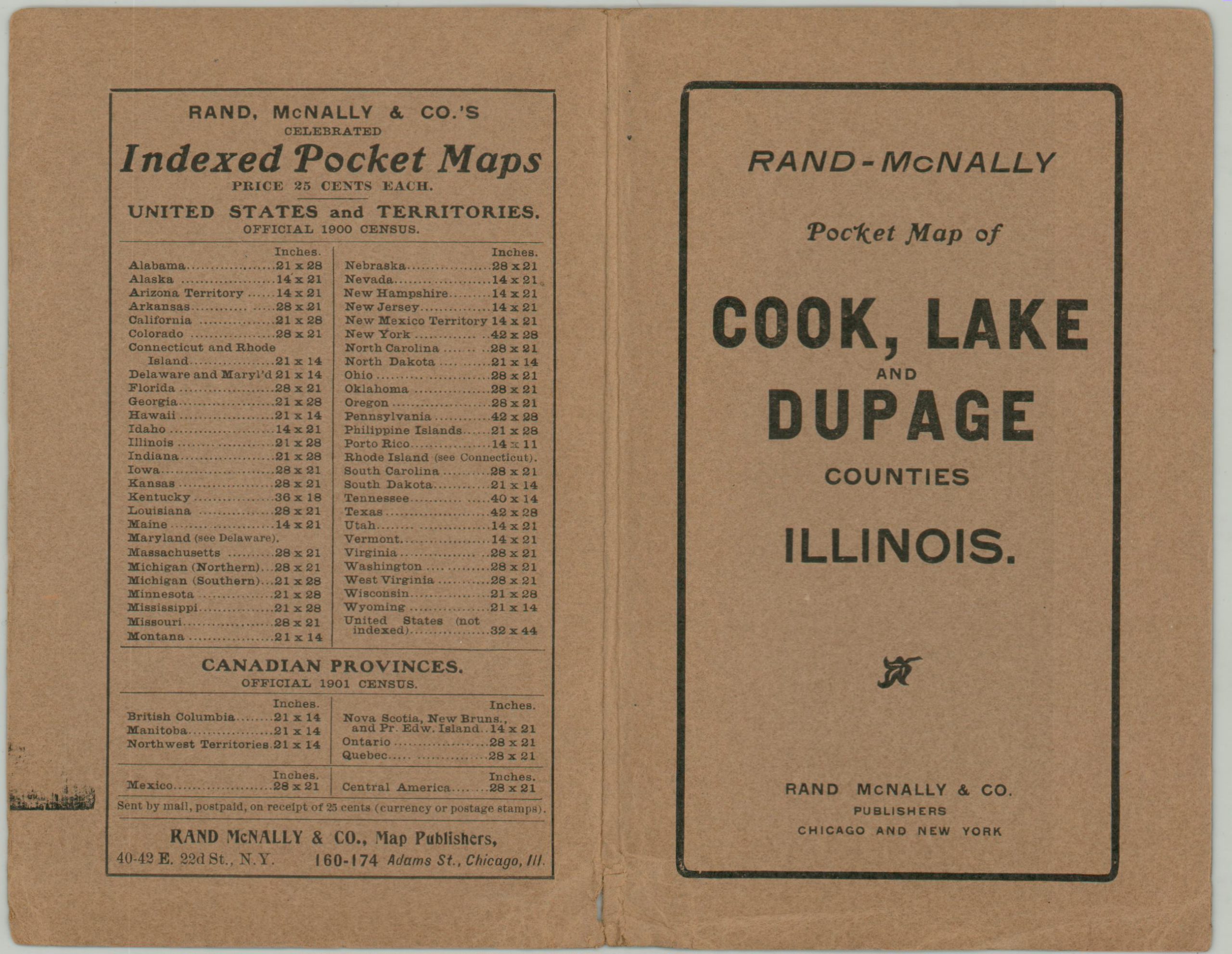
Rand McNally & Co.’s New Sectional Railroad Map of Cook, Lake and Du Page Counties
$350.00
Chicagoland transit in the early 20th century.
1 in stock

Description
This huge pocket map of northeastern Illinois was published in Chicago in 1910 by Rand McNally & Company. Portions of eight different counties are captured within the image, including a section of northwestern Indiana around the industrial city of Gary. Vibrant printed color distinguishes each, as well as the boundaries of the townships therein.
The map provides a detailed overview of the rail-based transportation options during a period of increasing automobile usage across the region. Steam, electric, combined, and elevated routes are noted according to a legend immediately below the title block. Distant suburbs like Joliet, Elgin, Wheaton, and Waukegan, popular recreational areas, and concentrated industrial districts are all made accessible via these lines. Station stops, parks, important buildings, and other locations of interest are labeled throughout the map and in the inset plan of downtown (center right). A comprehensive index to dozens of towns is provided in the upper right.
Map Details
Publication Date: 1910
Author: Rand McNally
Sheet Width (in):
Sheet Height (in):
Condition: A-
Condition Description: Large folding pocket map disbound from original brown paper wraps (present). Moderate toning and crisp creasing along originally issued fold lines. Small spots of separation at fold intersections and along the outer edge of the sheet, confined to the margins. Very good to near fine overall.
$350.00
1 in stock