
Rand McNally & Co.’s Illinois
$50.00
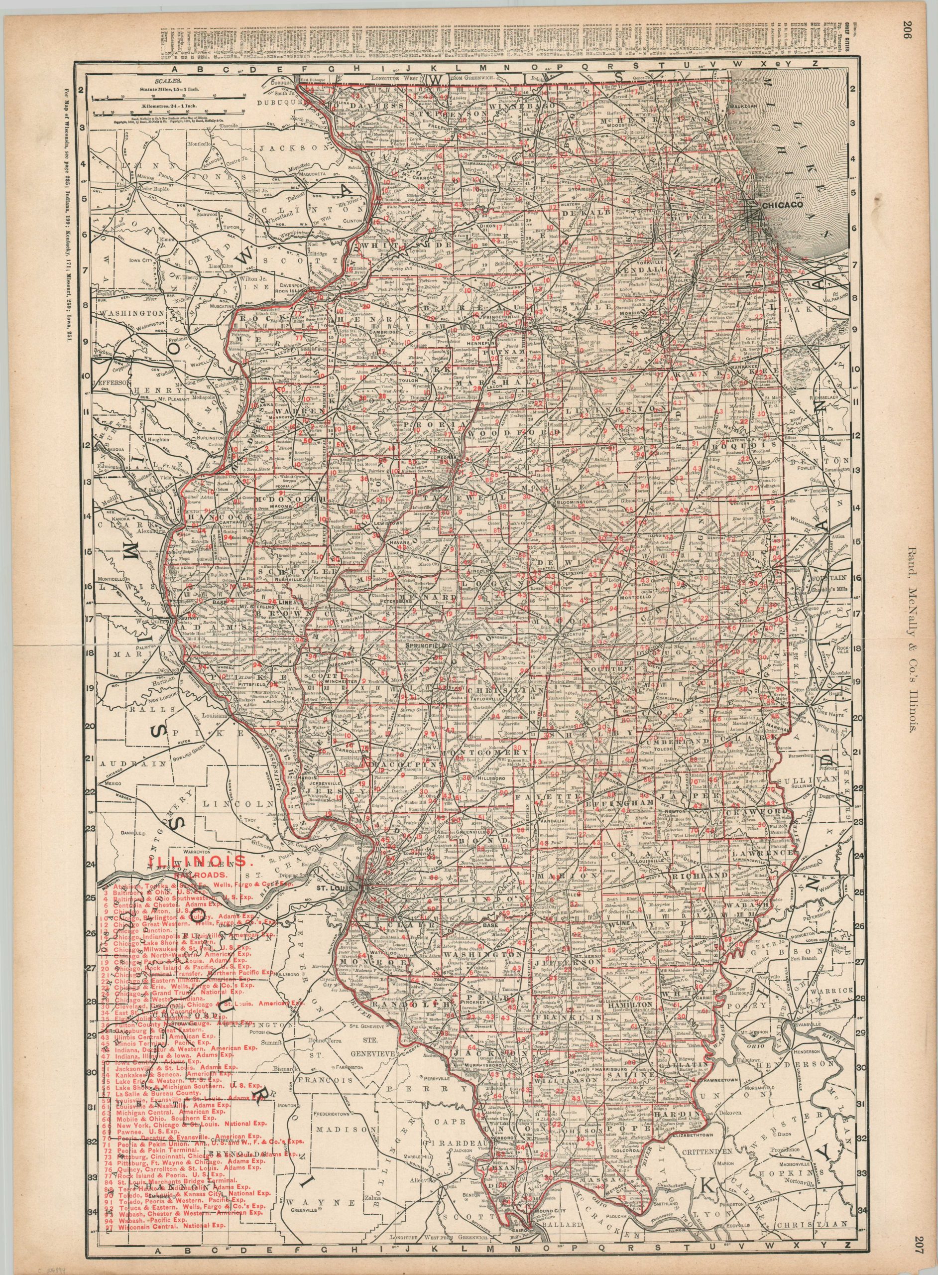
The railways of Illinois at the turn of the century.
1 in stock
Description
This interesting map of Illinois was published in Chicago by Rand McNally around 1901. A finely detailed image labels a fascinating variety of locations; including settlements, geographic features, natural resources, local industries, and more. Topography is depicted in hachure, emphasizing the flat expanses of The Prairie State.
Red overprinting identifies the various railroads in operation across Illinois. Such was the rate of consolidation and change among different companies that this second printing method was used to cut costs when updates were inevitably required. Fifty-five different lines are numbered and identified according to the legend in the lower left.
Map Details
Publication Date: c. 1901
Author: Rand McNally
Sheet Width (in): 27.5
Sheet Height (in): 20.1
Condition: B
Condition Description: Clean separation along the horizontal centerfold has been repaired and reinforced on the verso with archival tape. Some toning, brittleness, and scattered soiling in the margins. Chipped lower right corner. Good condition overall.
$50.00
1 in stock