Rand McNally Auto Road Atlas of the United States
Facsimile edition of the oldest existing Rand McNally Road Atlas.
Out of stock
Description
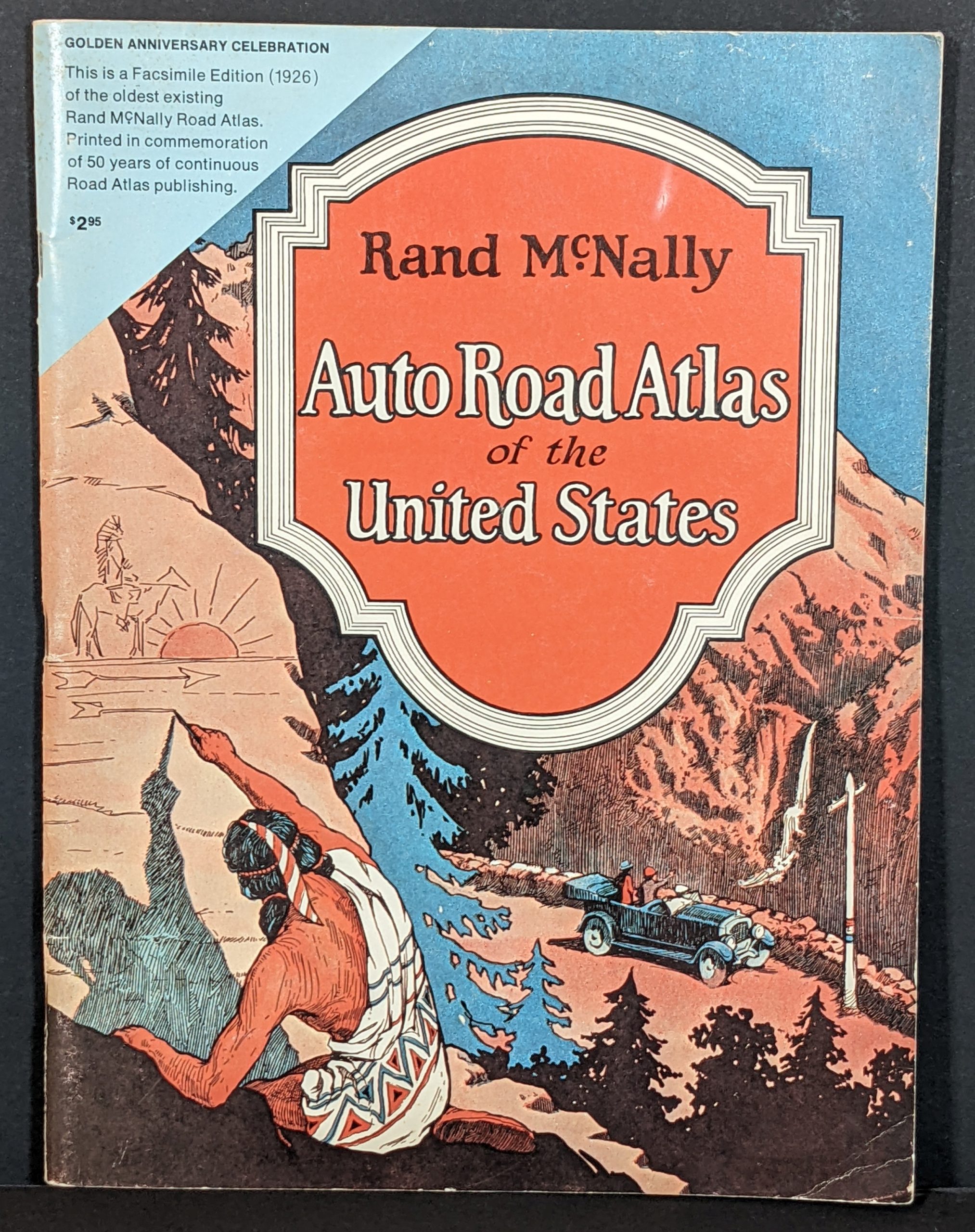
“The earliest Rand McNally Road Atlas known to exist today is the 1926 edition reproduced here. Its re-issue commemorates the 50th anniversary, in 1974, of the oldest and most popular travel guide of its kind published in the United States…The first road map for motorists which identified highways by number was conceived and published by Rand McNally in 1917. This was the forerunner of the present-day state and federal highway numbering system, as well as of the modern road map. In 1924 individual state maps of the eastern states, combined with sectional maps of the rest of the United States, were published as the first Rand McNally Road Atlas. The series of state maps, designed specifically for the Road Atlas, was completed the next year.” [Text, front cover]
This wonderful commemorative volume highlights one of the earliest national commercial publications for American motorists coast-to-coast. In addition to state and city maps, the atlas presents tables of National Parks, monuments, and battlefields. Tips for equipping the car, local motorist rules & regulations, and even recommended itineraries are also included.
Published in Chicago by Rand McNally & Co. in 1974.
Source: Happy Motoring
Map Details
Publication Date: 1974
Author: Rand McNally
Sheet Width (in): 9
Sheet Height (in): 12
Condition: A
Condition Description: 50th anniversary reproduction atlas. Complete, 96 pages of charts and color lithographed maps with stapled binding and original stiff paper covers. Front cover is lightly worn, with a creased corner and small tear, but otherwise in near fine condition overall.
Out of stock