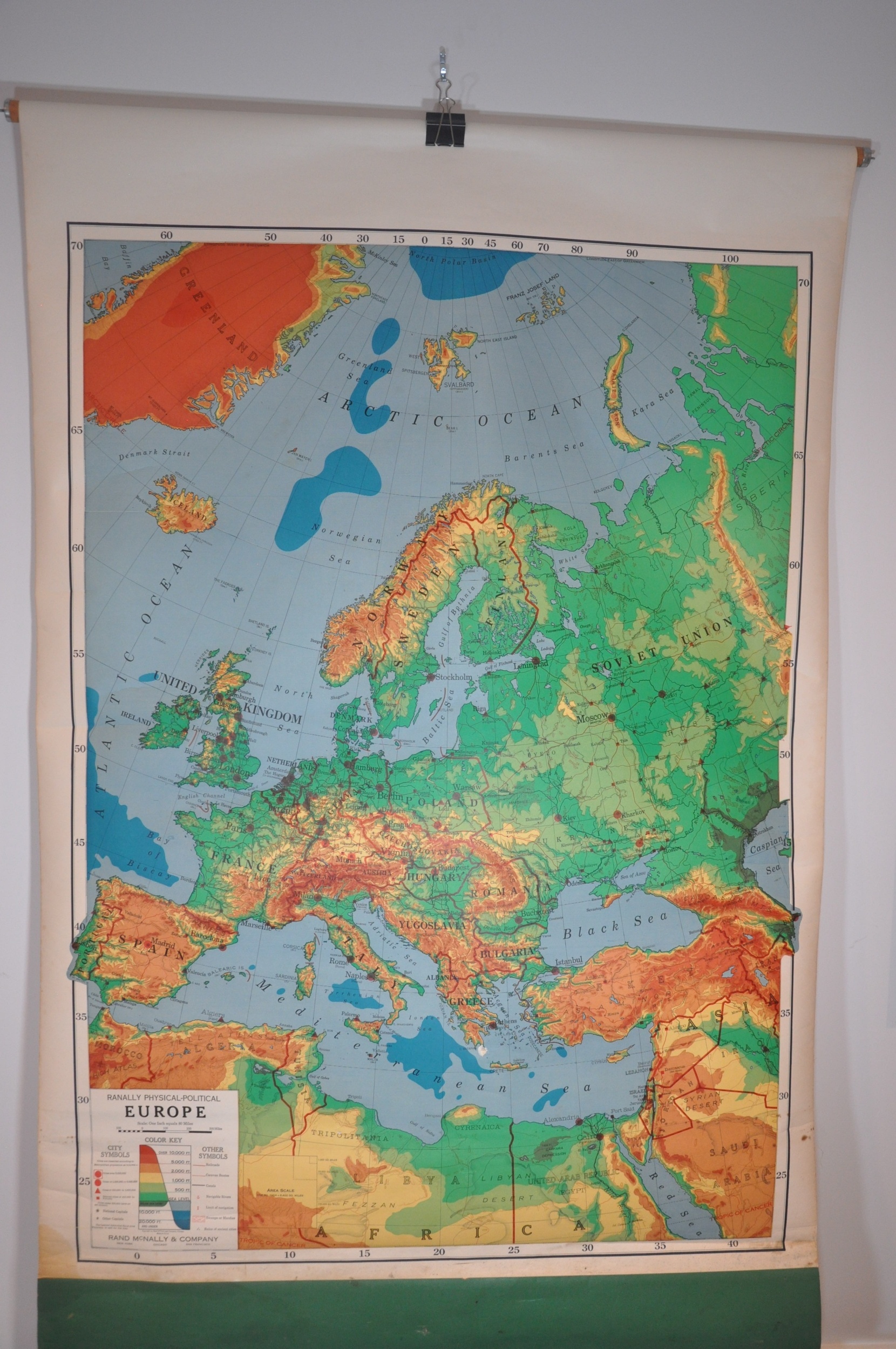
Ranally Physical-Political Europe
$100.00
Colorful elevation map of Europe for use in a classroom setting.
1 in stock
Description
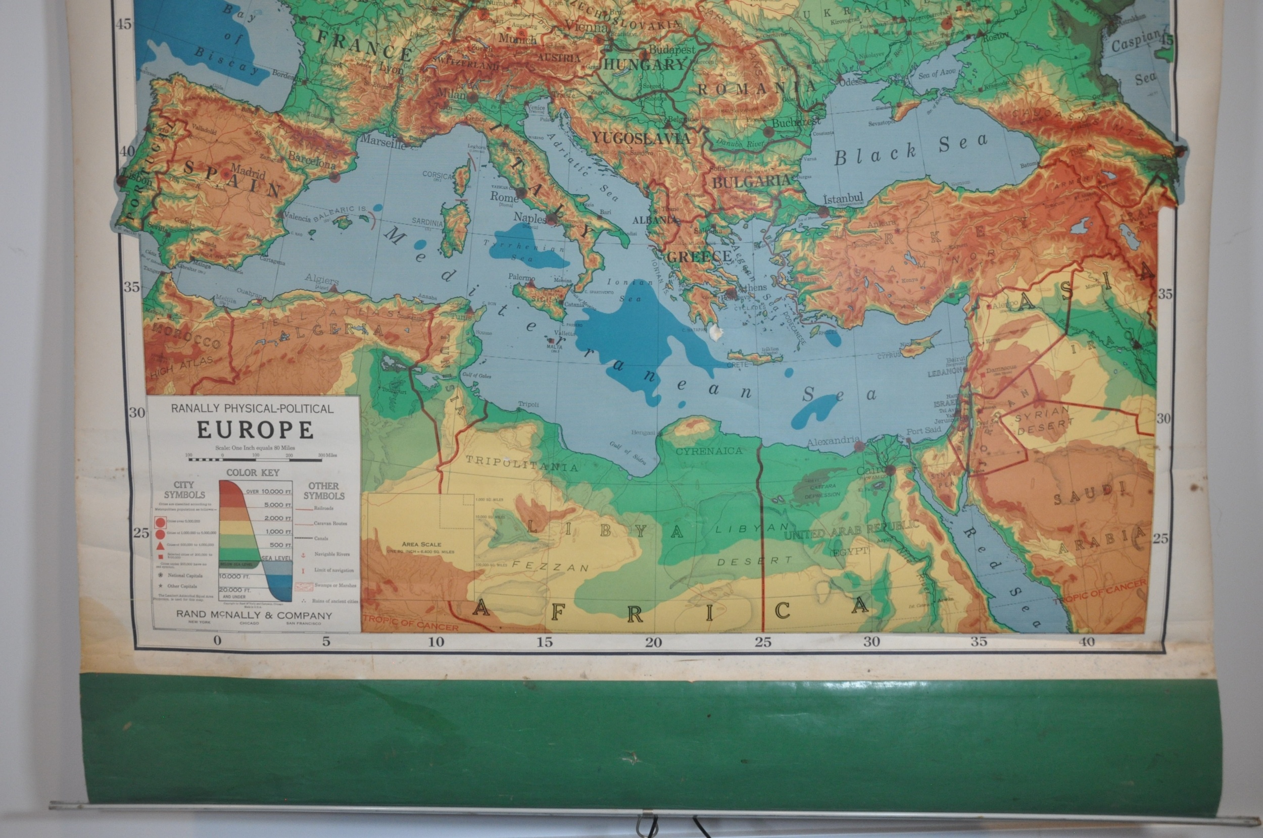
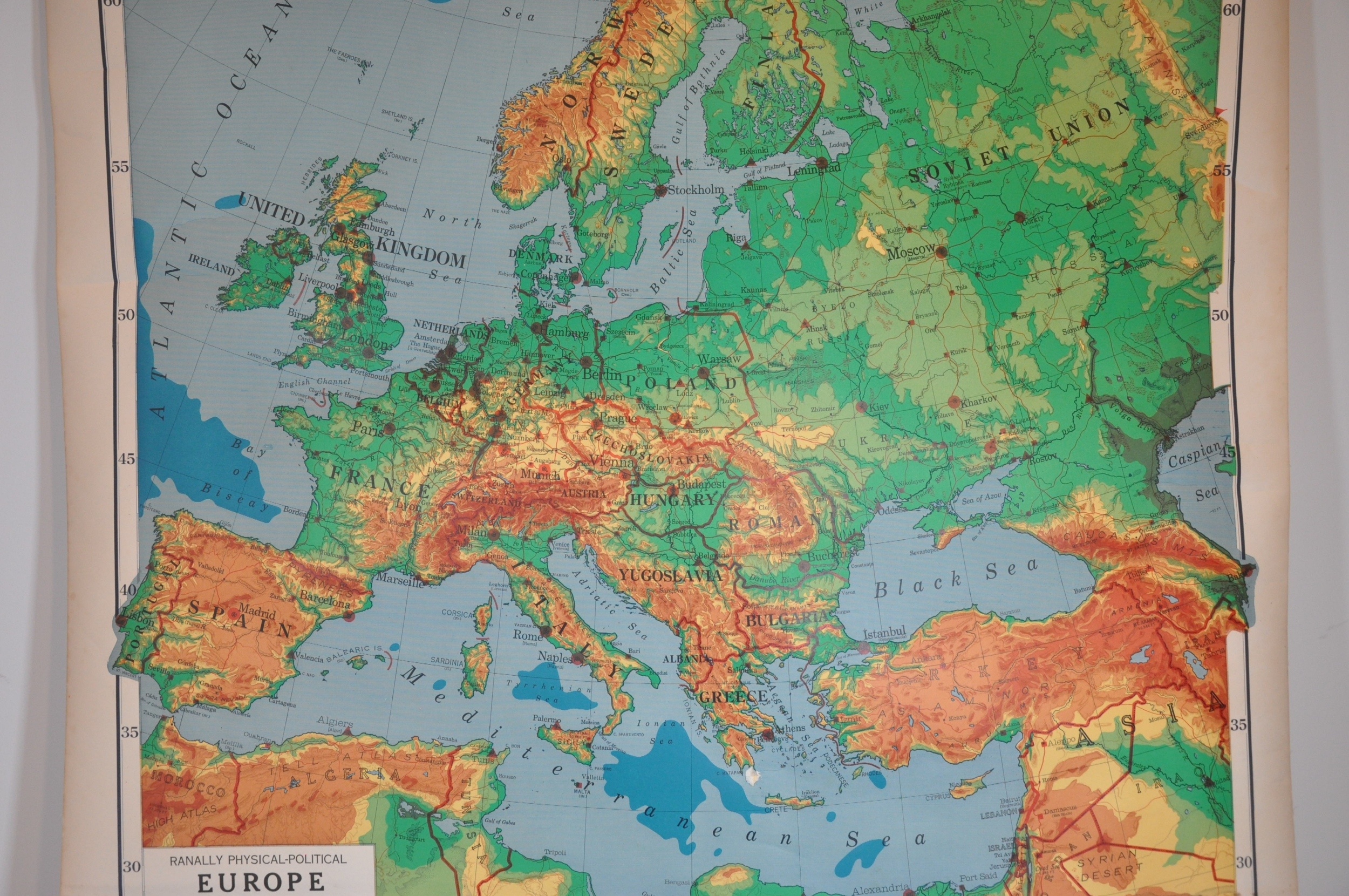
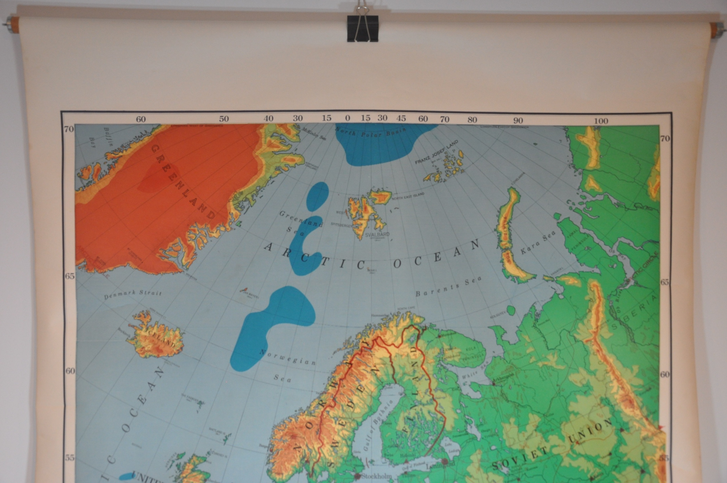
This large physical map of Europe uses vibrant shades of color to distinguish various levels of height across the continent. From dark blue (20,000 ft below the sea and deeper) to dark red (10,000 feet and up), the diverse geographic composition of the Earth is on display from North Africa to the Arctic Ocean and from the Bay of Biscay to the Caspian Sea.
Railroads, caravan routes, canals, navigable rivers, navigational limits, ancient ruins, and swampland are also noted according to the legend in the title block. Published by Rand McNally between 1958 and 1964, based on the presence of the United Arab Republic and the identification of Malta as a British Territory.
Map Details
Publication Date: c. 1960
Author: Rand McNally
Sheet Width (in): 42.5
Sheet Height (in): 58.5
Condition: B+
Condition Description: Large wall map mounted on linen and affixed to original rollers (wooden rod at the top, metal clamp at the bottom). The bottom 3" of the map is affected by moderate soiling and wear, including a large damp stain in the lower left comer that just misses the neatline. Light spotting visible in the margins and verso, but overall in good to very good condition.
$100.00
1 in stock


