Railroad Map of Illinois
$125.00
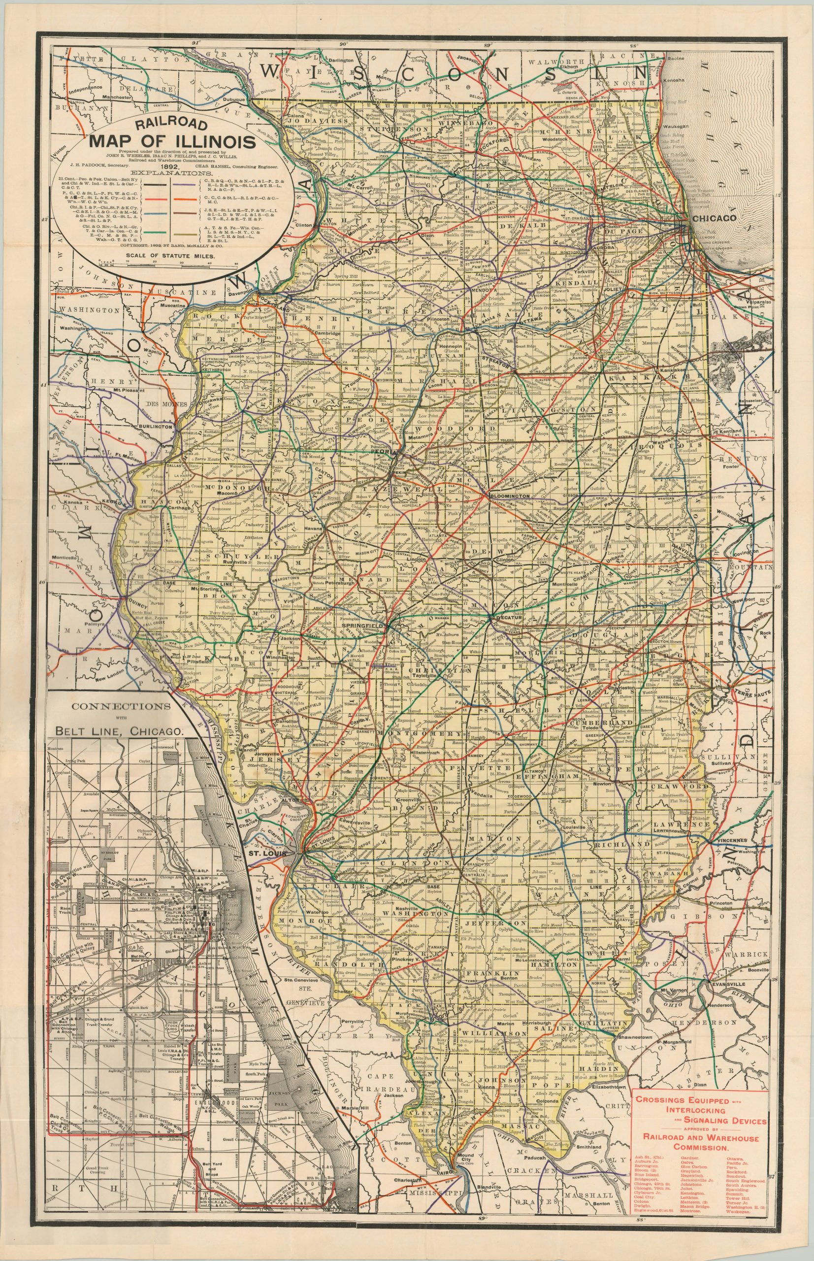
Illinois railroads on the eve of the Columbian Exposition.
1 in stock

Description
This detailed color lithographed map of Illinois was published in Chicago by Rand McNally in 1892 on behalf of the State’s Railroad and Warehouse Commission. Over forty different railways in operation (some undoubtedly subsidiaries) throughout the state are identified by acronym according to the legend below the title block.
The image presents a comprehensive network that was near the top of the nation in railway mileage at the end of the 19th century. Crossings equipped with signal devices, a relatively new technology, are listed in the lower right.
The lower left presents an inset plan showing connections to the Belt Railway of Chicago, the largest switching terminal railroad in the United States and still in operation today. At the time of publication, the city was busy at work constructing the fairgrounds for the Columbian Exposition held at Jackson Park in 1893.
Map Details
Publication Date: 1892
Author: Illinois State Railroad Commissioners
Sheet Width (in): 19
Sheet Height (in): 30
Condition: A-
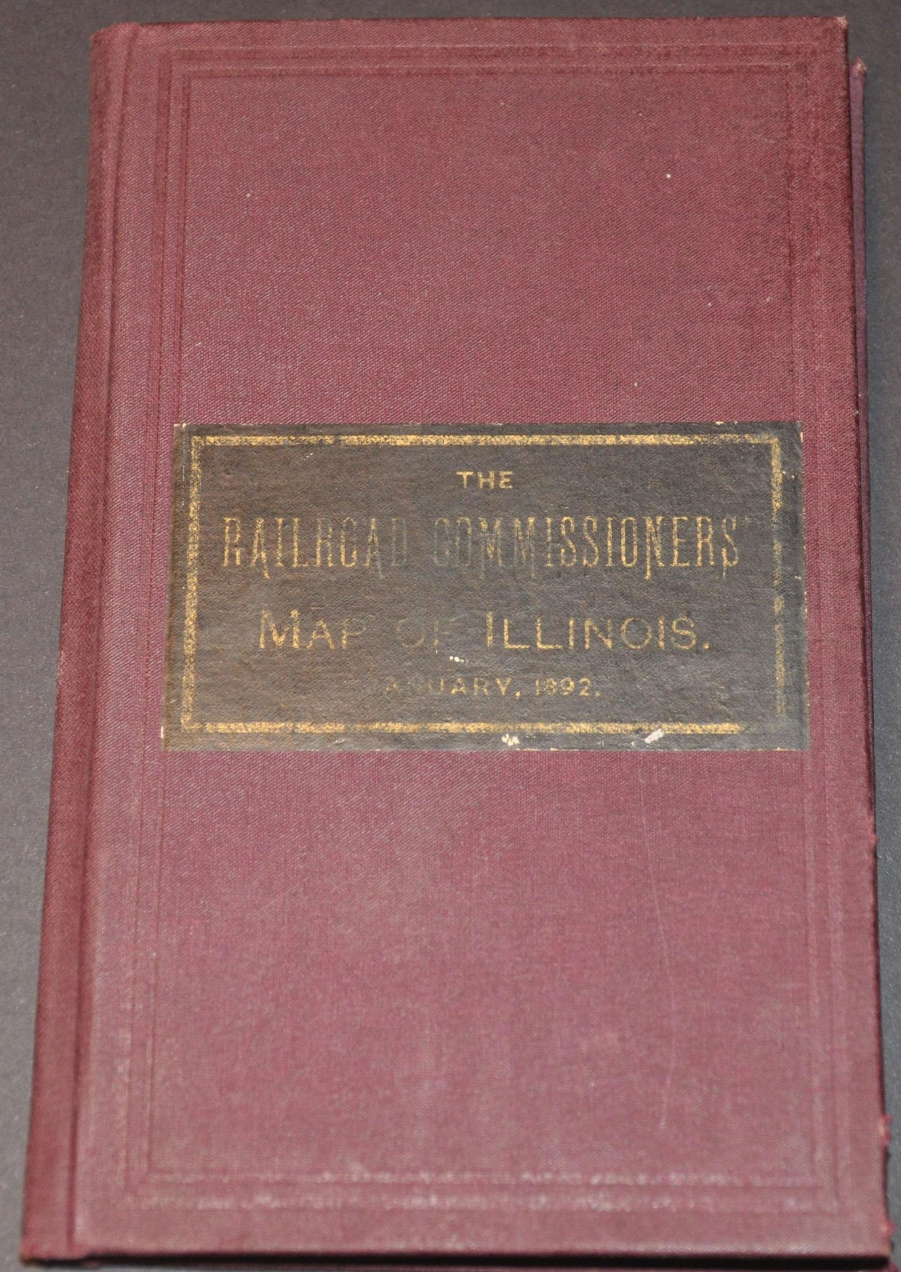
Condition Description: Folding pocket map affixed to original purple cloth covers. One small tear, about .5", along the upper edge and repaired on the verso with archival tape. Very good overall.
$125.00
1 in stock