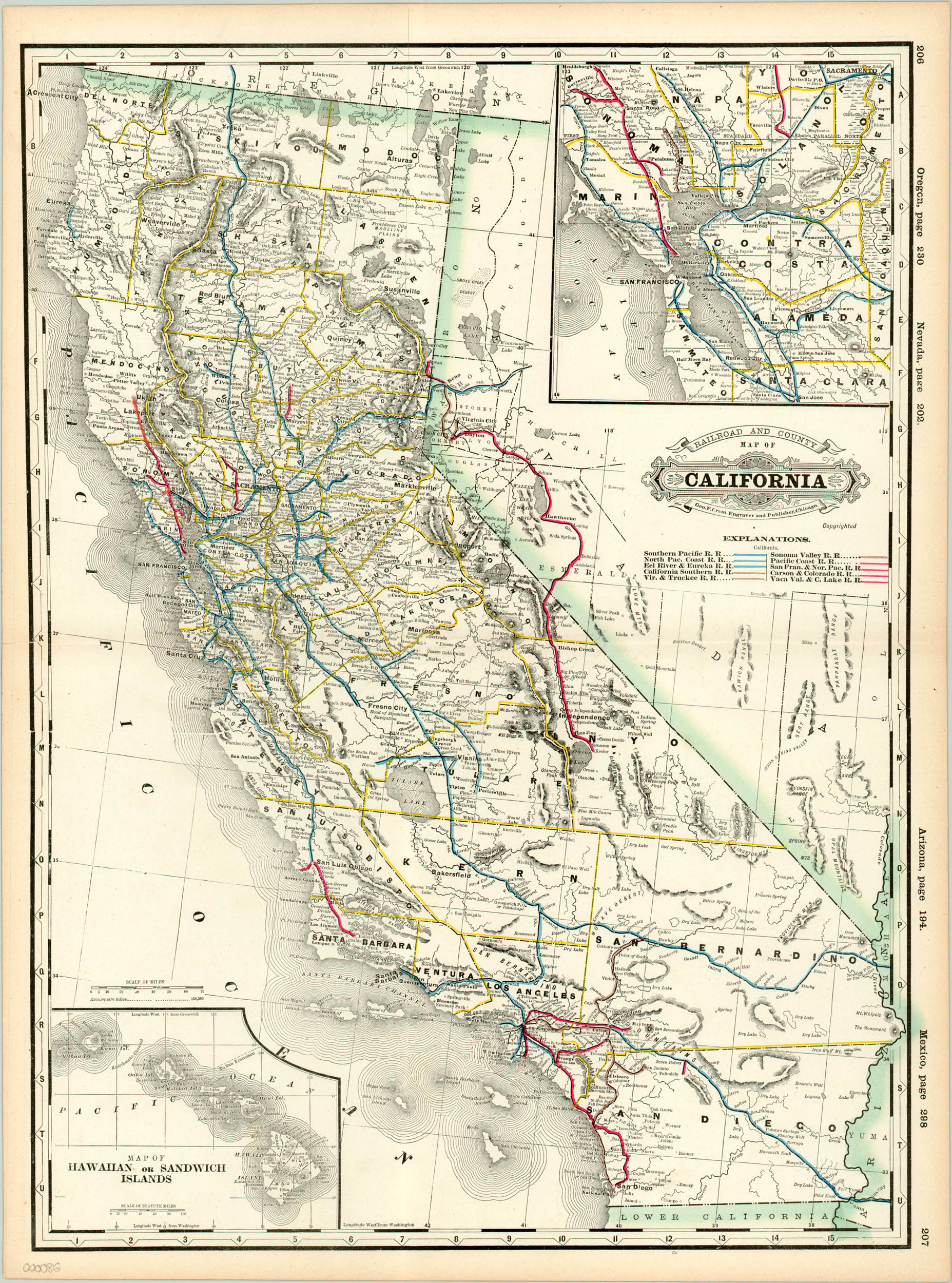
Railroad and County Map of California
$175.00
Interesting atlas map of California highlighting various rail lines throughout the state.
Description
Published as part of George Cram’s Bankers’ and Brokers’ Railroad Atlas in 1889, this map’s primary emphasis is on the ten different railway companies offering service in the Golden State. Although apparently only a few colors were on hand, as blue, brown and red are used for all ten! The image is dominated by the Southern Pacific stretching from Los Angeles through the entirety of the state (ultimately to Portland), with other, smaller railroads comprising the shorter arterial routes. Stops are listed individually along each line, and physical features like mountain ranges, hot springs, and rivers are noted in abundance.
Inset maps of the Hawaiian Islands (clumsily annexed the year before publication) and the San Francisco Bay area complete this interesting atlas map of California.
Map Details
Publication Date: 1889
Author: George Cram
Sheet Width (in): 17.5
Sheet Height (in): 23.5
Condition: A
Condition Description: The map is in excellent condition, with only slight discoloration along the outer edge.
$175.00

