Quebec District and Eastern Townships
$60.00
1930 guide to Quebec and the surrounding area via the Canadian Pacific Railway.
1 in stock


Description
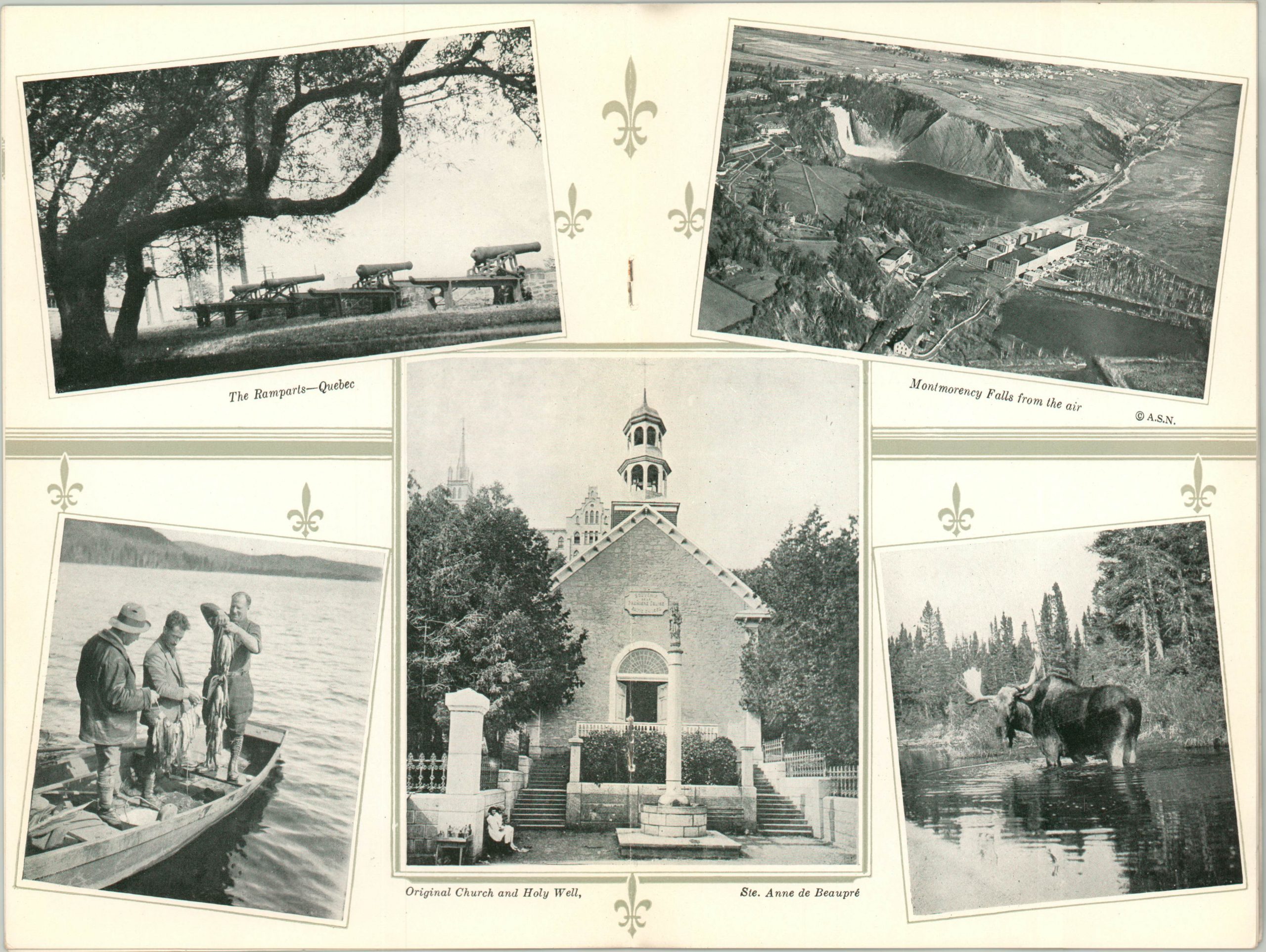
Even to a modern eye, its evident that the publishers of this guidebook to Quebec and the surrounding vacation area are trying to paint the region as an idyllic backwoods and outdoor paradise. A panorama of the city is followed by images of horse drawn carriages, lazy rivers, golfing, and other casual activities. Accompanying text describes local attractions, villages, accommodations, and transportation access via the Canadian Pacific Railway.
The highlight is a large folding map that shows four maps; Vacation Area in the Province of Quebec, The Lower St. Maurice Valley, The City of Quebec and its Environs, and South-Eastern Quebec. Canadian Pacific lines are shown in red and competitors ‘camouflaged’ in black. The verso lists a comprehensive index of hotels, boarding houses, camps, and golf courses across the region.
Map Details
Publication Date: 1930
Author: Canadian Pacific Railway
Sheet Width (in): See Description
Sheet Height (in): See Description
Condition: A-
Condition Description: 14 pp. guidebook, 6" x 9", with stapled bindings and photo wrappers. Binding is a bit loose, but contents are very good overall. Includes a fold out map measuring approximately 21.25" x 16". Creasing along fold lines and a 4" tear where the map is affixed to the back cover.
$60.00
1 in stock