
Quebec and Lake St. John Ry. The New Route to the Far Famed Saguenay
$300.00
An intriguing pictorial representation of the Quebec and Lake St. John Railway.
1 in stock
Description
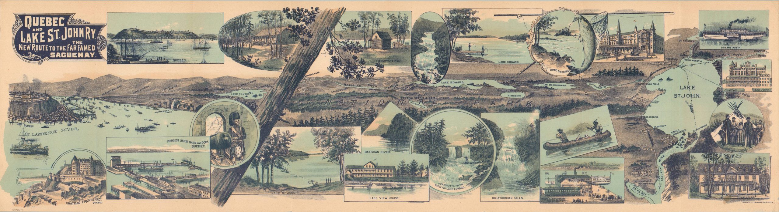
This striking folding map, printed in 1900 by the Toronto Lithographing Company, presents the line of the Quebec and Lake St. John Railway in an innovative style. It starts on the left, with a pictorial perspective of a heavily industrialized Quebec City, perched proudly atop Cap Diamant at the junction of the St. Charles and St. Lawrence. The route can then be followed across the picturesque countryside, through the newly established (1895) Laurentides National Park to Lake Saint St. John (Lac Saint-Jean). The endpoint is depicted in a more traditional, top-down view.
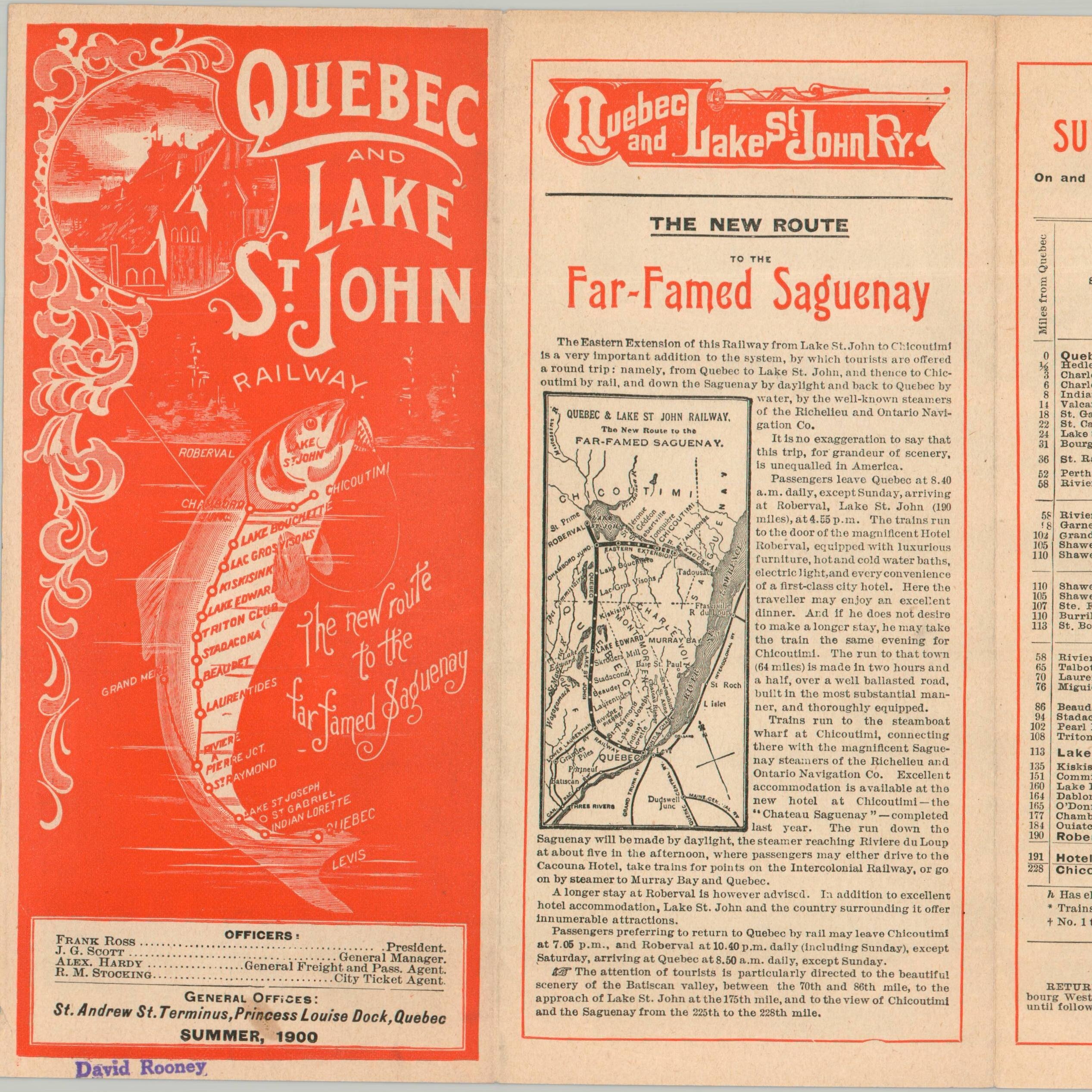
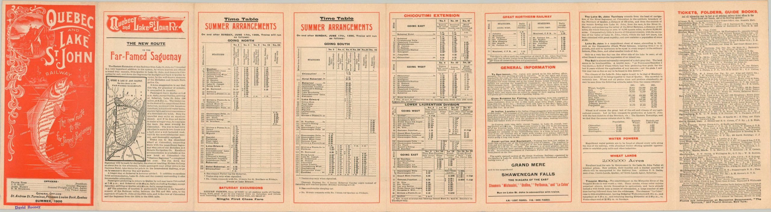
Beautiful vignettes showcasing local history, reports, and geographic features are scattered throughout. The verso offers rates, timetables, and general information for ‘The New Route to the Far-Famed Saguenay’. The front cover shows an interesting diagrammatic view of the Quebec and Lake St. John Railway in the shape of a fish! From Canada-Rails.com;
“The Lake St. John area, north of Quebec City was both pristine and beautiful. Richly endowed with farmlands to the northwest, it was also barely accessible. The rough journey up Lake St. John was a major deterrent to settlement. As late as 1895, there were only 3,000 residents in the area, half of whom lived in the community of Roberval. By the 1880s, a railway was considered to be of the utmost necessity. Actively supported by the Church, the Legislative Assembly and local residents, construction began in 1885 under contractor H.J. Beemer. As construction progressed, the railway began to operate in bits and pieces. The railway finally reached Roberval in 1888. An extension to Chicoutimi was opened in 1892. Upon completion, the railway covered an area of 300 miles.”
Map Details
Publication Date: 1900
Author: Toronto Lithographing Company
Sheet Width (in): 30.25
Sheet Height (in): 8.25
Condition: A
Condition Description: Folding timetable with a color printed strip map (size given). A bit of toning and a spot on the front over that does not affect the image. Very good to near fine overall.
$300.00
1 in stock