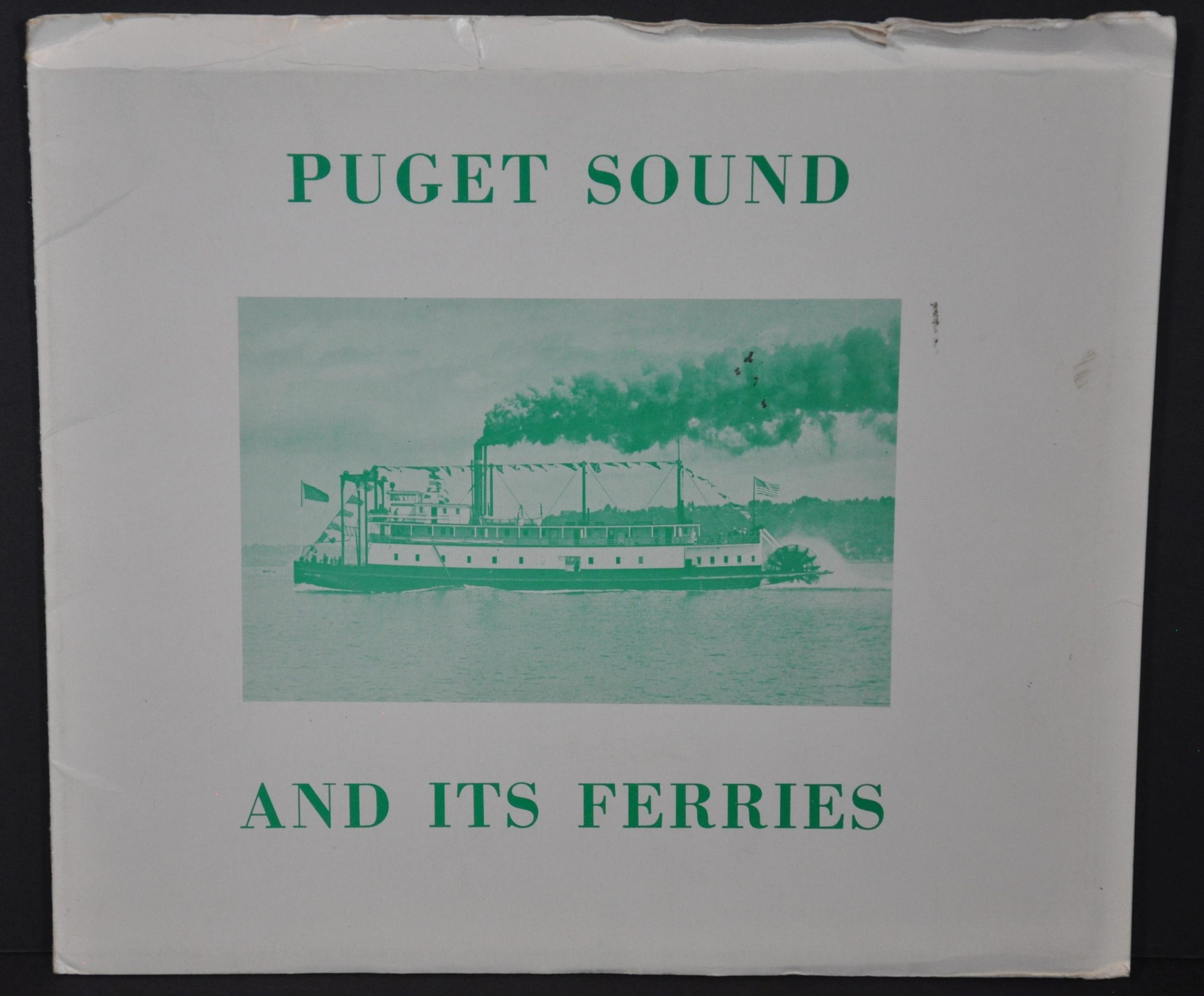
Puget Sound and its Ferries
$119.00
Mid-century map showing the waterborne transit system around Puget Sound.
1 in stock
Description
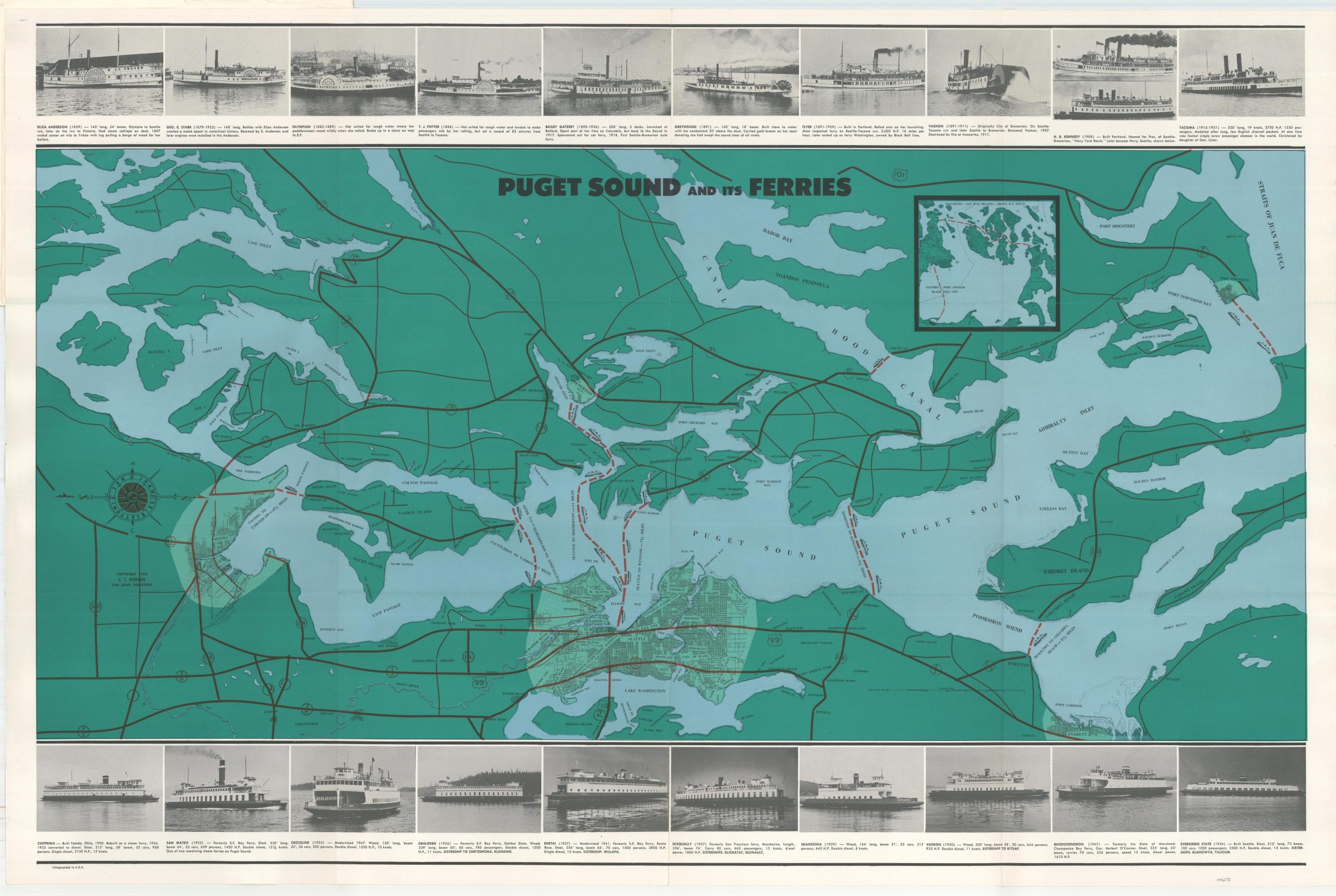
This verdant map of Puget Sound and the surrounding area was designed by C.T. Morgan and copywritten by San Juan Industries in 1960. Oriented with west at the top of the page, the image presents the various state highways and ferry routes in operation throughout the region from Tacoma to Port Townsend.
A border of photographs along the top and bottom provides a visual chronology of the various ships and ferries that plied the waters of Puget Sound, beginning with the Eliza Anderson (1859) and concluding with the Evergreen State (1954). Captions for each vessel provide interesting contemporary tidbits, like the Flyer “Rolled over on her launching. Most respected ferry on Seattle-Tacoma run.”
A final ship, the MV Coho, had her keel laid the year prior to publication and can be seen on the back cover. She remains in operation today as part of the fleet of the Black Ball Line.
Map Details
Publication Date: 1960
Author: C.T. Morgan
Sheet Width (in): 34.75
Sheet Height (in): 24.75
Condition: A
Condition Description: Folded into 12 panels and affixed to original stiff paper wraps. Creased along fold lines and the covers show moderate wear along the edges, but overall in very good to near fine condition.
$119.00
1 in stock