
Puerto Rico
$225.00
An early map depicting Puerto Rico as American territory.
1 in stock

Description
Shortly after the breakout of the Spanish-American War, a U.S. invasion force of about 3,500 troops was sent to capture Puerto Rico from its Spanish defenders. The resulting campaign was brief and resulted in total control of the island, which was eventually ceded to the U.S. after the Treaty of Paris in 1898 (ratified by Congress in early 1899).
This vibrant political map by Rand McNally proudly displays the geographic expanse of the new American possession, encompassing over 800,000 inhabitants across its 3,600 square miles of land. Transportation routes, towns, and prominent geographic features are labeled throughout, with insets in the lower corners showing the area around San Juan (left) and the islands of Culebra and Vieques (right).
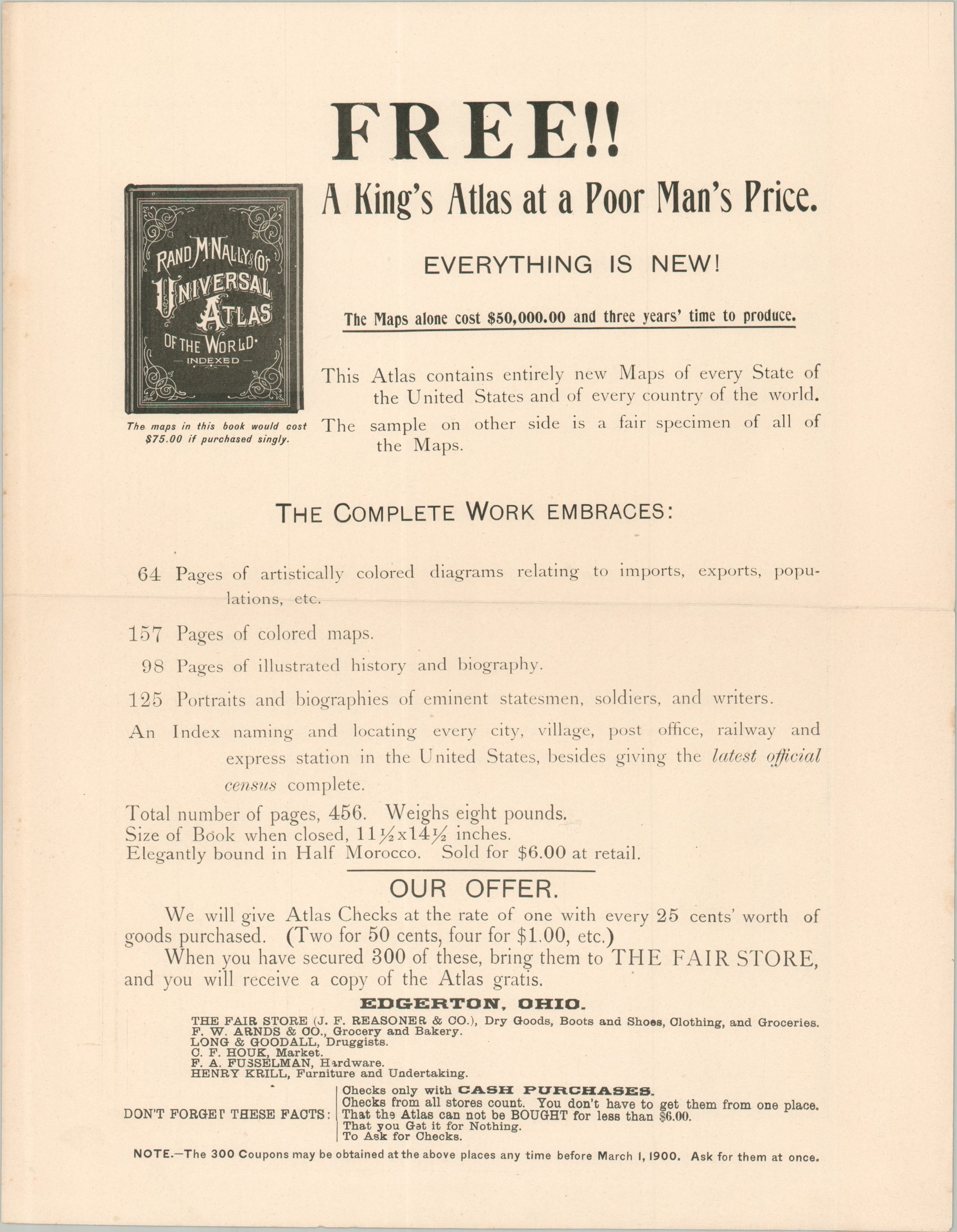
The verso of the sheet explains the purpose of the single-page circular – to advertise the new edition of Rand McNally’s Universal Atlas of the World. “The sample on the other side is a fair specimen of all the Maps” in the atlas, according to the persuasive text that outlines the contents of the work, which allegedly took $50,000 and three years’ time to produce. The Fair Store of Edgerton, Ohio, incorporated a clever marketing tactic, offering a free copy of the atlas in exchange for 300 ‘Atlas Checks’ (given when 25 cents of goods are purchased). At the time, Edgerton had a population of about 1,000.
Map Details
Publication Date: c. 1899
Author: Rand McNally
Sheet Width (in): 14.25
Sheet Height (in): 11.50
Condition: A-
Condition Description: Double-sided handbill with a sharp vertical crease and light toning in the margins. Handwritten name in pencil on the verso, which features printed text advertisements. Very good condition overall.
$225.00
1 in stock