
Prussia
$80.00
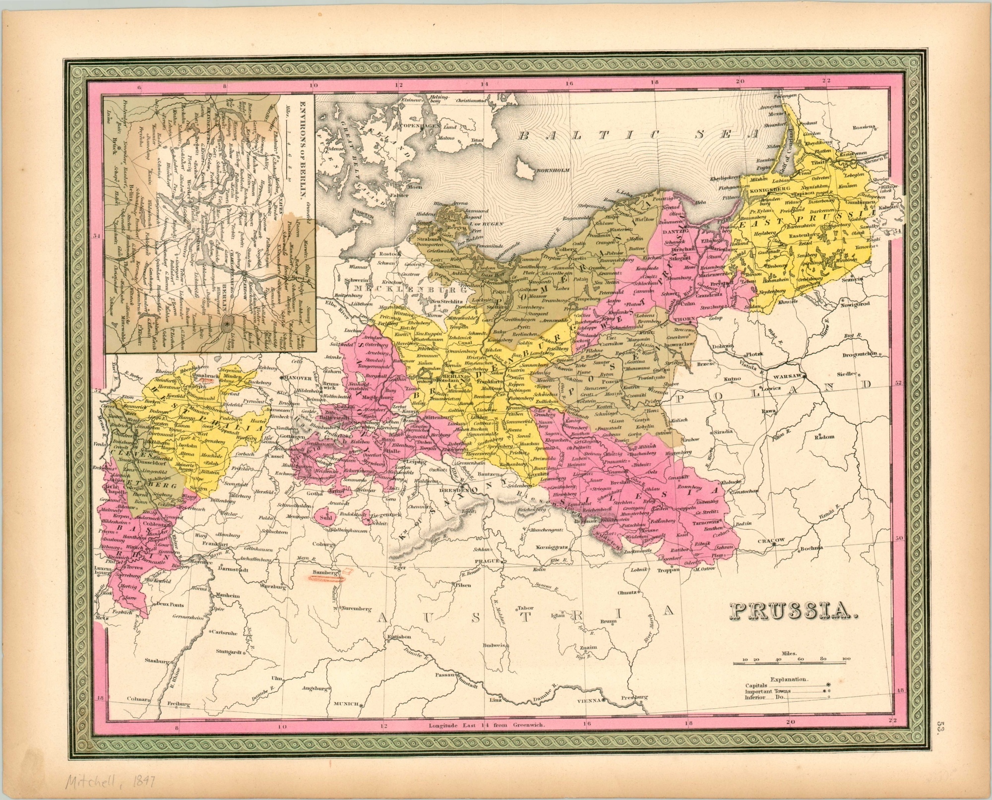
The now-defunct Kingdom of Prussia shortly before the European Revolutions of 1848.
1 in stock
Description
Said by Napoleon to be “hatched from a cannonball,” Prussia had a military prowess dating back to its artificial creation as a German kingdom in the early 18th century. The Napoleonic Wars greatly increased this aura of martial invulnerability, but rivalries with Austria over predominance in the German Confederation were ongoing. Victory over France in 1871 would ultimately catalyze Prussia’s dominance into the establishment of a unified Germany.
This map of the Kingdom of Prussia was published in Philadelphia by Samuel Augustus Mitchell in 1847. The various component provinces are labeled and individually colored by hand, divided by independent Hanover. An inset map of the area between Berlin and Brandenburg can be seen in the upper left.
Map Details
Publication Date: 1847
Author: Samuel Augustus Mitchell
Sheet Width (in): 16.90
Sheet Height (in): 13.6
Condition: A
Condition Description: Faintly toned around the outer edges, consistent with age, and a small dirty fingerprint in the lower left corner. One tiny spot below the distance scale and old markings near Bamberg, but overall in near fine condition.
$80.00
1 in stock