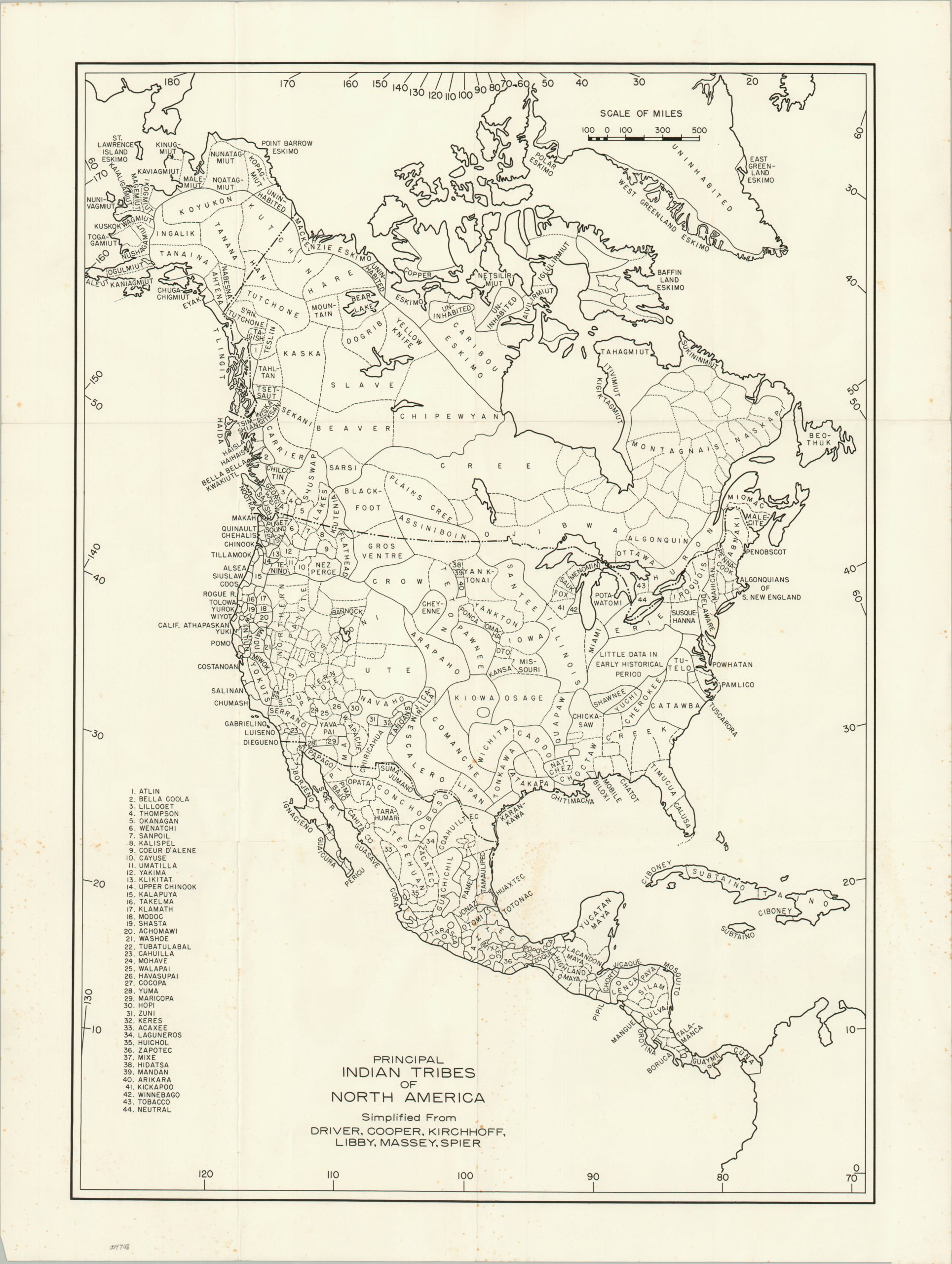
Principal Indian Tribes of North America
Estimating indigenous populations across North America.
Out of stock
Description
This fascinating overview of North and Central America provides some unique insight into the continents’ early inhabitants at around the time of Columbian contact. Though national borders are vaguely identifiable, the image emphasizes the (speculated) territorial extent of numerous Native American tribes.
Scores of different indigenous people are labeled, occupying nearly every area on the map. Undated, though the subtitle references several esteemed anthropologists who worked in the mid-20th century, including Leslie Spier, Paul Kirchhoff, Harold Drivey, and William Massey.
Map Details
Publication Date: c. 1970
Author: Driver, Cooper, Kirchhoff, Libby, Massey, Spier,
Sheet Width (in): 19
Sheet Height (in): 25
Condition: B+
Condition Description: Creasing along old fold lines and scattered spotting visible in the lower half of the sheet. Most evident in the lower left, adjacent to the numerical key.
Out of stock

