
Principal Automobile Roads of California
$125.00
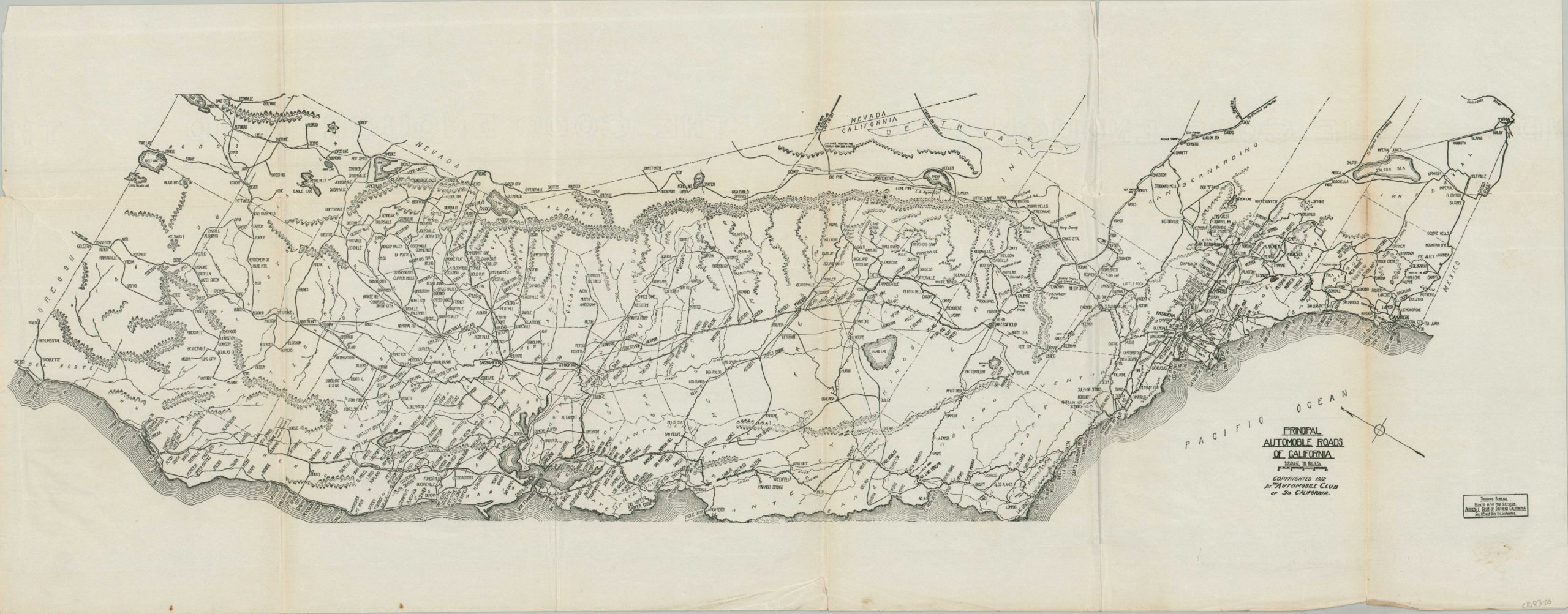
A rather rudimentary road map of California from the early 1910s.
1 in stock
Description
Due to its sunny climate, generally predictable weather, and a robust network of statewide boosters, residents of California adopted the automobile at a rate far exceeding most other states during the early 20th century. In every year from 1900 to 1913, the Golden State led all others in the number of cars per capita. Over 100 different automobile brands were sold in Los Angeles alone!
This rather skeletal map of California’s embryonic road network was copyrighted in 1912 by the Automobile Club of Southern California, a Los Angeles-based predecessor to AAA that was organized to promote the adoption of the automobile (and encourage motor tourism). Principal roads are shown with thin black lines, connecting towns large and small. Small hachures give only the faintest impression of topography – it was up to the motorist to get accurate information on local conditions.
Map Details
Publication Date: 1912
Author: Automobile Club of Southern California
Sheet Width (in): 27.50
Sheet Height (in): 10.75
Condition: B+
Condition Description: Black and white map printed on a single-sided sheet, wrinkled and somewhat worn along old folds. An irregular left margin and small closed tear (repaired on verso) indicates it was likely previously bound. A bit of wear along the outer edges of the sheet. Good condition overall.
$125.00
1 in stock