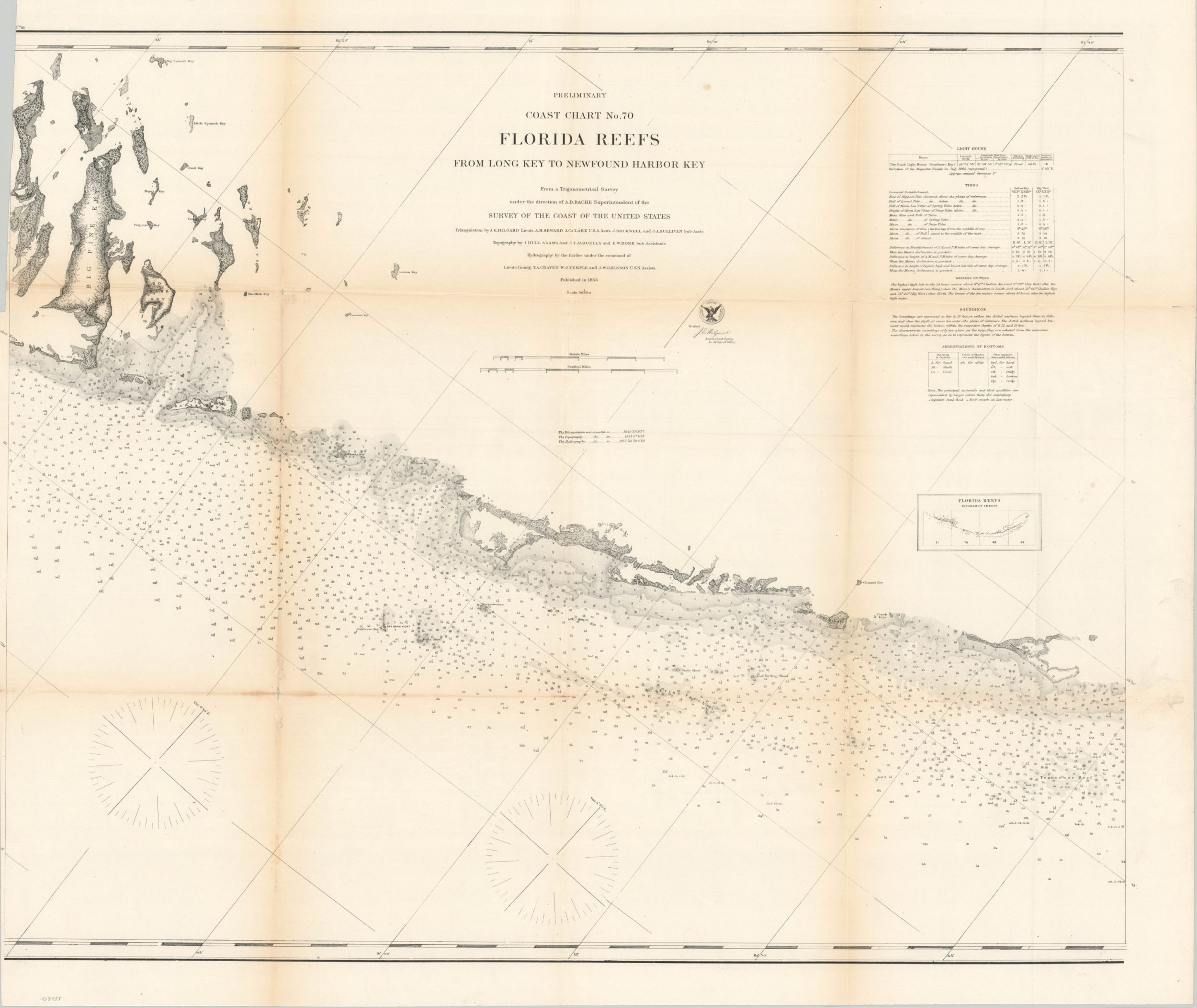
Preliminary Coast Chart No. 70 Florida Reefs from Long Key to Newfound Harbor Key
$125.00
The Florida Keys during the American Civil War.
1 in stock
Description
This detailed Civil War-era navigational chart covers an approximately fifty-mile swath of the Florida Keys between Long Key (right side) and the Torch Keys (left side) that includes the modern-day city of Marathon. It was one of four sheets issued by the U.S. Coast Survey in 1863 that cover the entirety of the archipelago, with an inset in the center-right showing the relative location compared to the others.
Around the time of publication, the area was under constant blockade by a Union squadron of ships based at Key West. Significant attention is given to maritime information like depth soundings, navigational hazards, the composition of the seafloor, and tidal tables. The location of the Sombrero Key Light, established five years prior, is noted and would continue to remain in operation until 2015.
Source: History of Key West
Map Details
Publication Date: 1863
Author: A.D. Bache
Sheet Width (in): 32.5
Sheet Height (in): 27.5
Condition: B+
Condition Description: Moderate wear and discoloration along originally issued fold lines. Small holes and tears at fold intersections and along the outer edges of the sheet. The upper left margin has been narrowly trimmed and there is one spot in the image, to the right of the title block.
$125.00
1 in stock

