
Post Map Fort Belvoir, Virginia
Training engineers for the United States Army in World War II.
Out of stock


Description
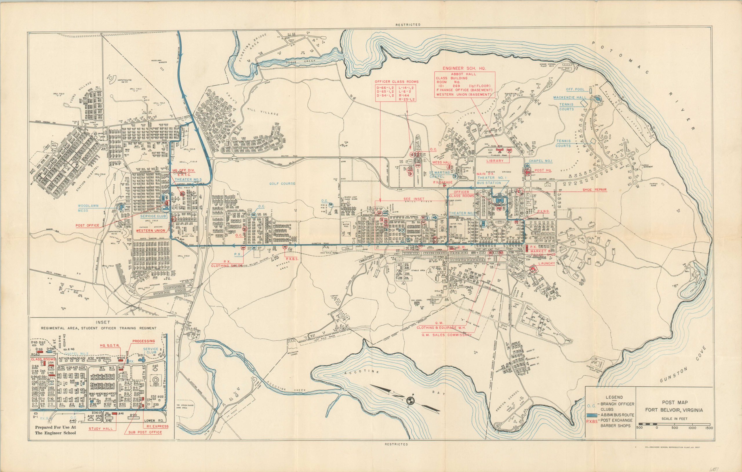
This detailed plan of the Engineer Replacement Training Center at Fort Belvoir, Virginia was published locally in July, 1943. ‘Prepared For Use At The Engineer School’ and printed by the students themselves, the map is marked Restricted and offers an informative overview of the various facilities available to soldiers and officers stationed there. Classrooms, recreational centers, commissaries, laundry facilities, etc. are labeled across the grounds, which expanded greatly in early 1942. By the end of the war, nearly 150,000 engineers had been trained at Fort Belvoir.
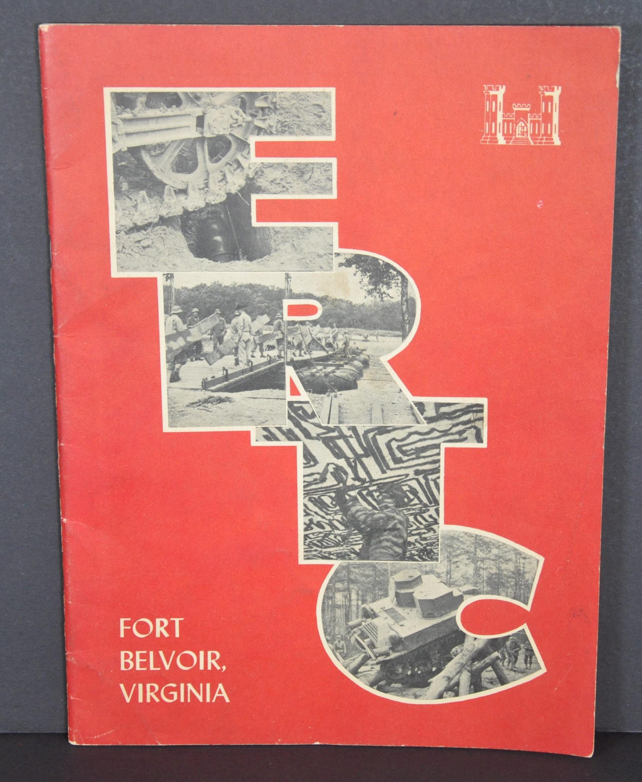
The map is accompanied by a commemorative booklet that outlines the training program with from the perspective of the servicemen. Captioned photographs and cartoons celebrate ‘soldierly’ humor, recreational opportunities, and the machismo of the Engineering Corps.
The volume was compiled by Leonard J. Brown and published by Merin-Baliban Studios of Philadelphia, likely around the same time as the map (they are unaffiliated otherwise).
Map Details
Publication Date: 1943
Author: 391 Engineer School Reproduction Plant
Sheet Width (in): 25.75
Sheet Height (in): 16.4
Condition: A-
Condition Description: Map is creased along old fold lines and moderately toned along the outer edges of the sheet. Blank on verso. Accompanied by a 38 pp. ERTC booklet with stapled binding and original illustrated paper covers. Good to very good condition overall.
Out of stock