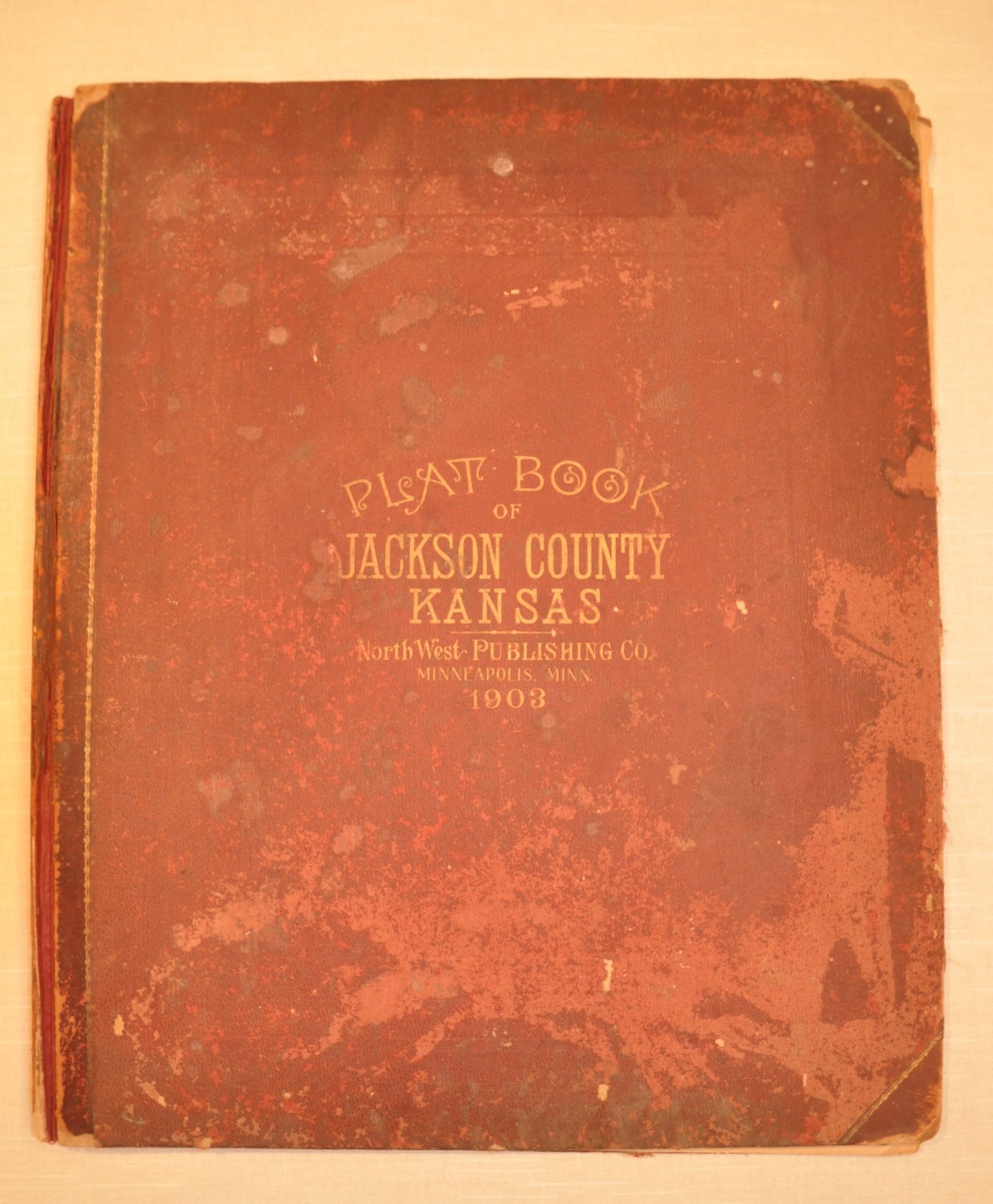
Plat Book of Jackson County, Kansas
Incomplete atlas of Jackson County, Kansas.
Out of stock


Description
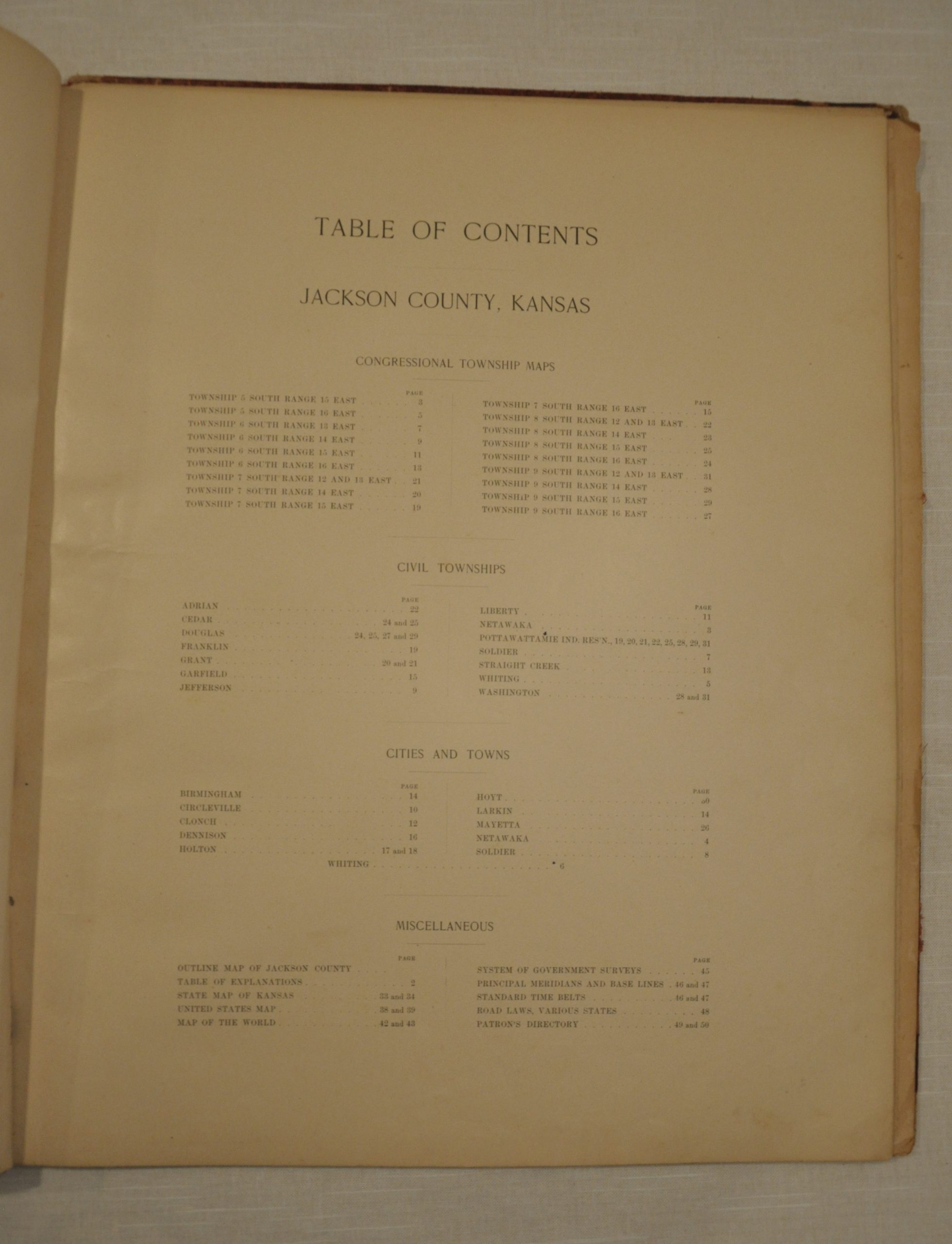
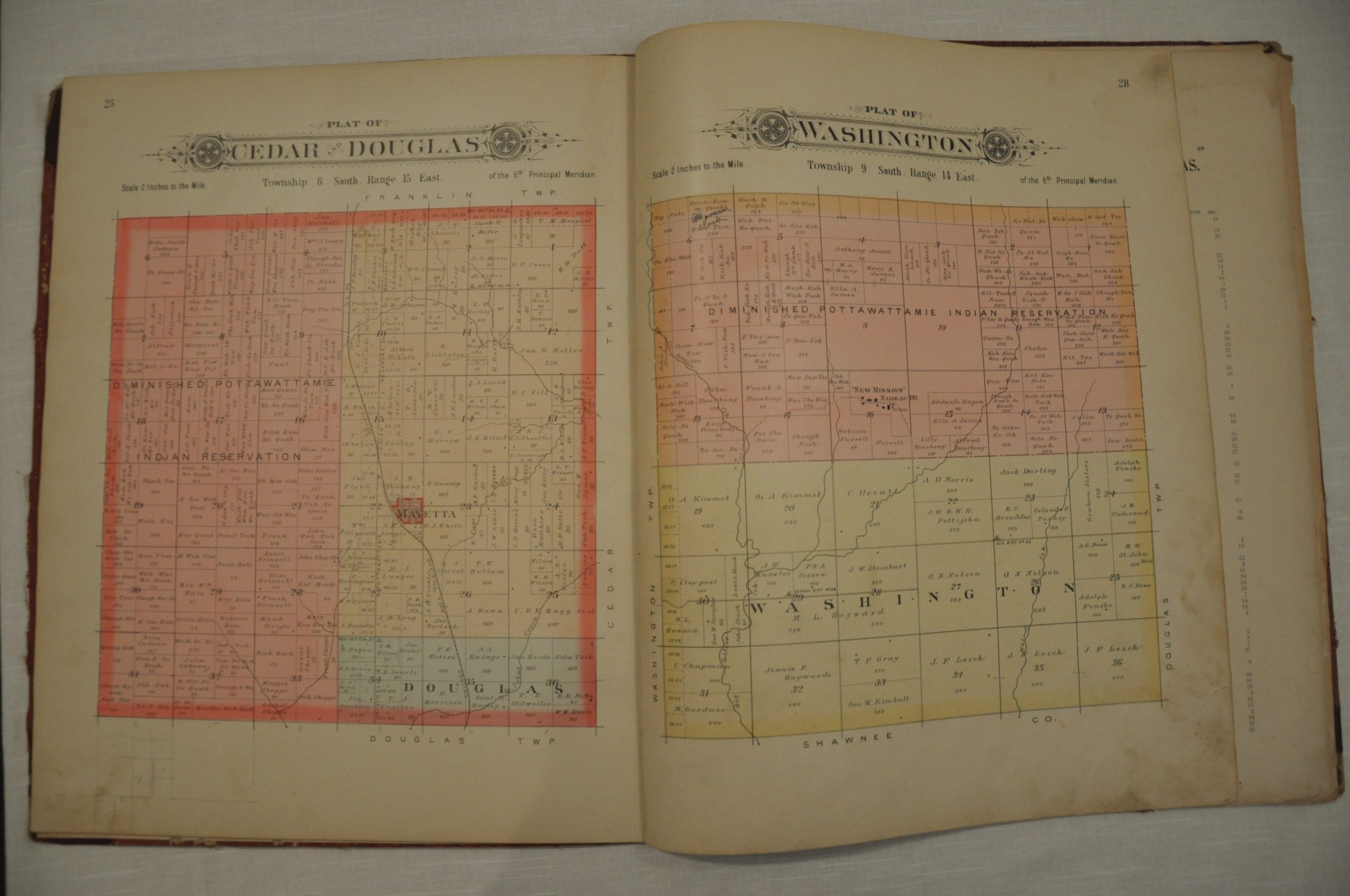
Published in 1903 by the Northwest Publishing Company of Minneapolis, this atlas shows land ownership in villages and townships of Jackson County, Kansas. Boundaries of individual plots are labeled by name and important geographic features, prominent buildings, and transportation routes are all noted. The Prairie Band Potawatomi Indian Reservation is labeled throughout the atlas as “Diminished Pottawattamie Indian Reservation.” The plots within the reservation exhibit an interesting mix of names, with simply “Paul” noted as owning a plot adjacent to Kitch-Kum-Me-Quah.
The atlas also includes a double page map of the state of Kansas issued by George Cram. Scarce, with only one copy in OCLC at the Kansas City Public Library. One other example has been found at the Kansas Historical Society.
Map Details
Publication Date: 1903
Author: North West Publishing Co.
Sheet Width (in): 16
Sheet Height (in): 19
Condition: C
Condition Description: Incomplete - lacking pages 16-19, 26, 27 and the Miscellaneous except for the map of Kansas, which is present. Includes 23 single page lithographed maps that are largely in good shape. Minor wear and discoloration associated with age. Original red gilt boards are present, but detached.
Out of stock