Plat Book of Dane County Wisconsin
Detailed atlas of Dane County, Wisconsin from 1890.
Out of stock


Description
This incredible atlas provides a thorough overview of Dane County, Wisconsin near the end of the 19th century. The county in the south-central portion of the state is it’s second most populous and includes the capital of Madison.
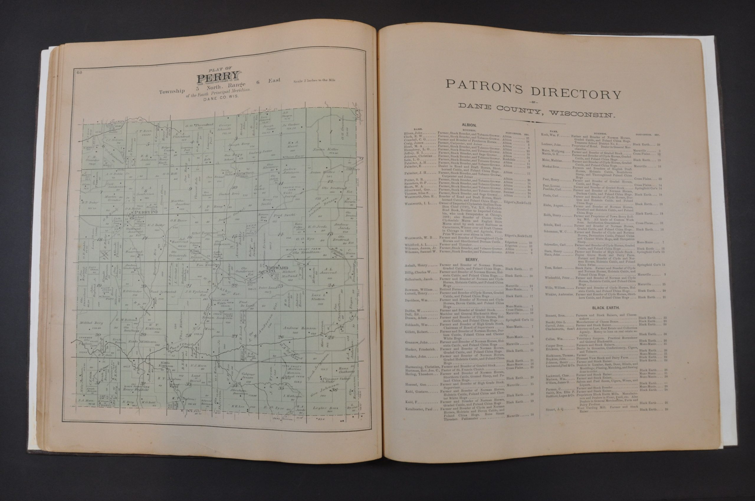
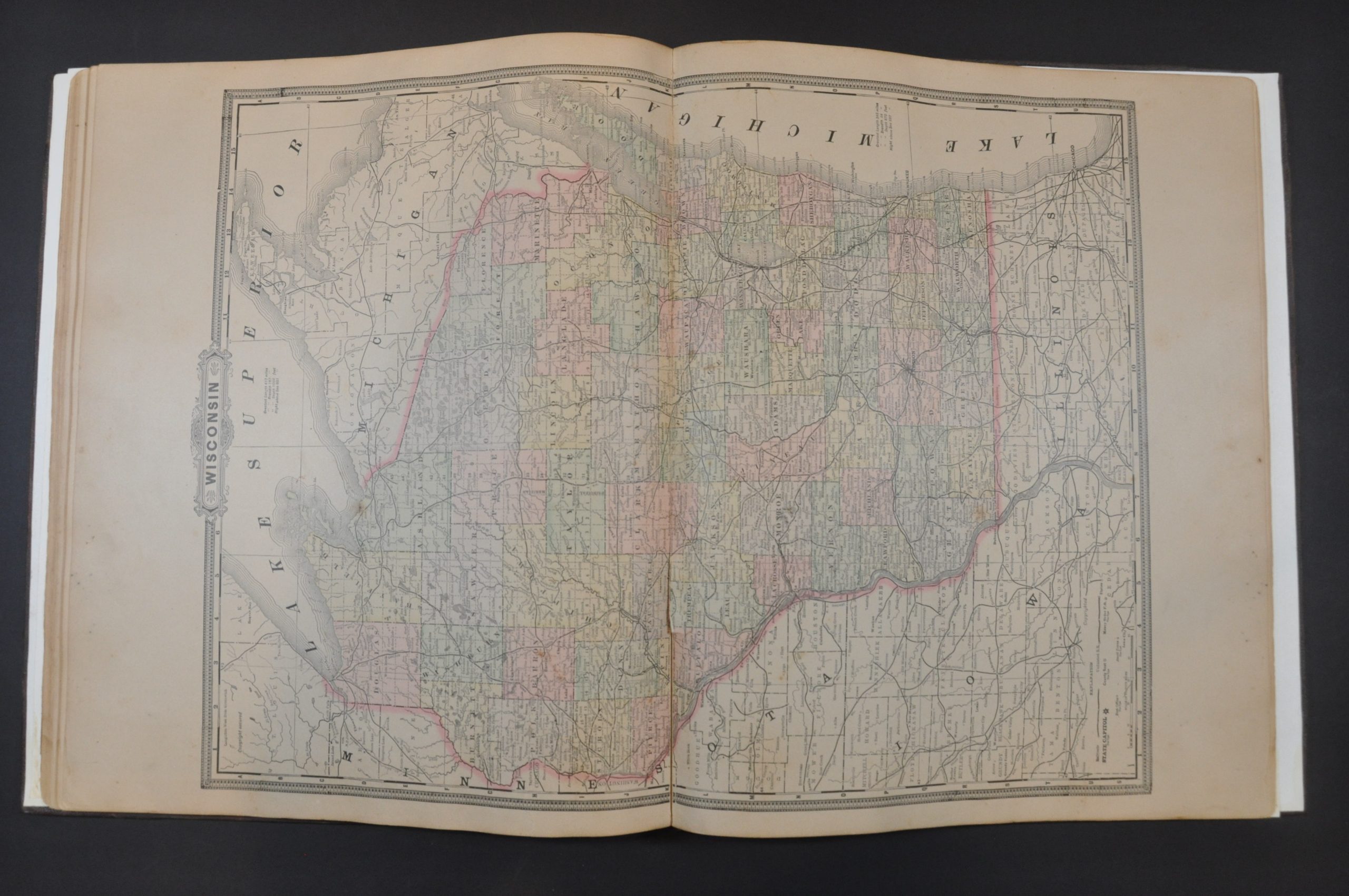
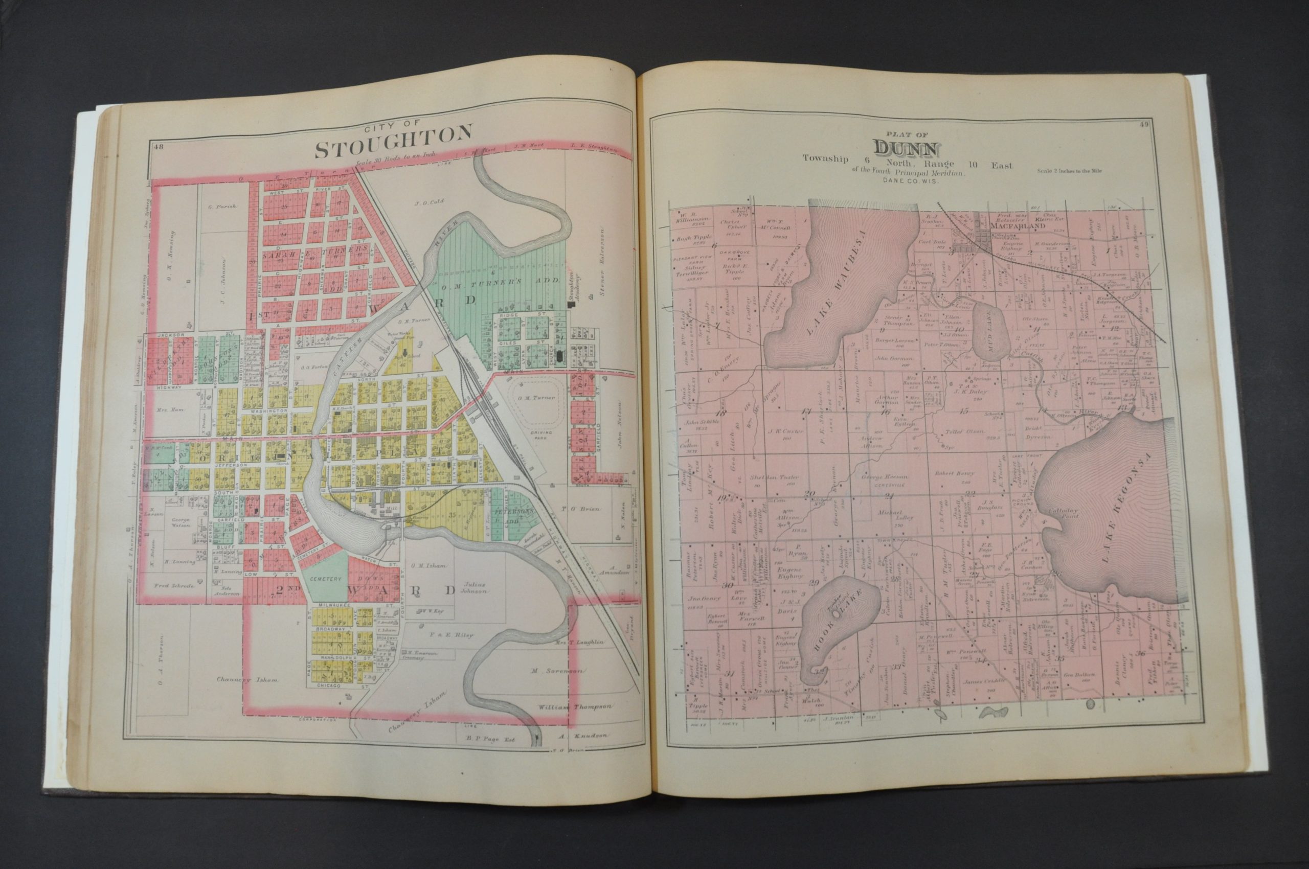
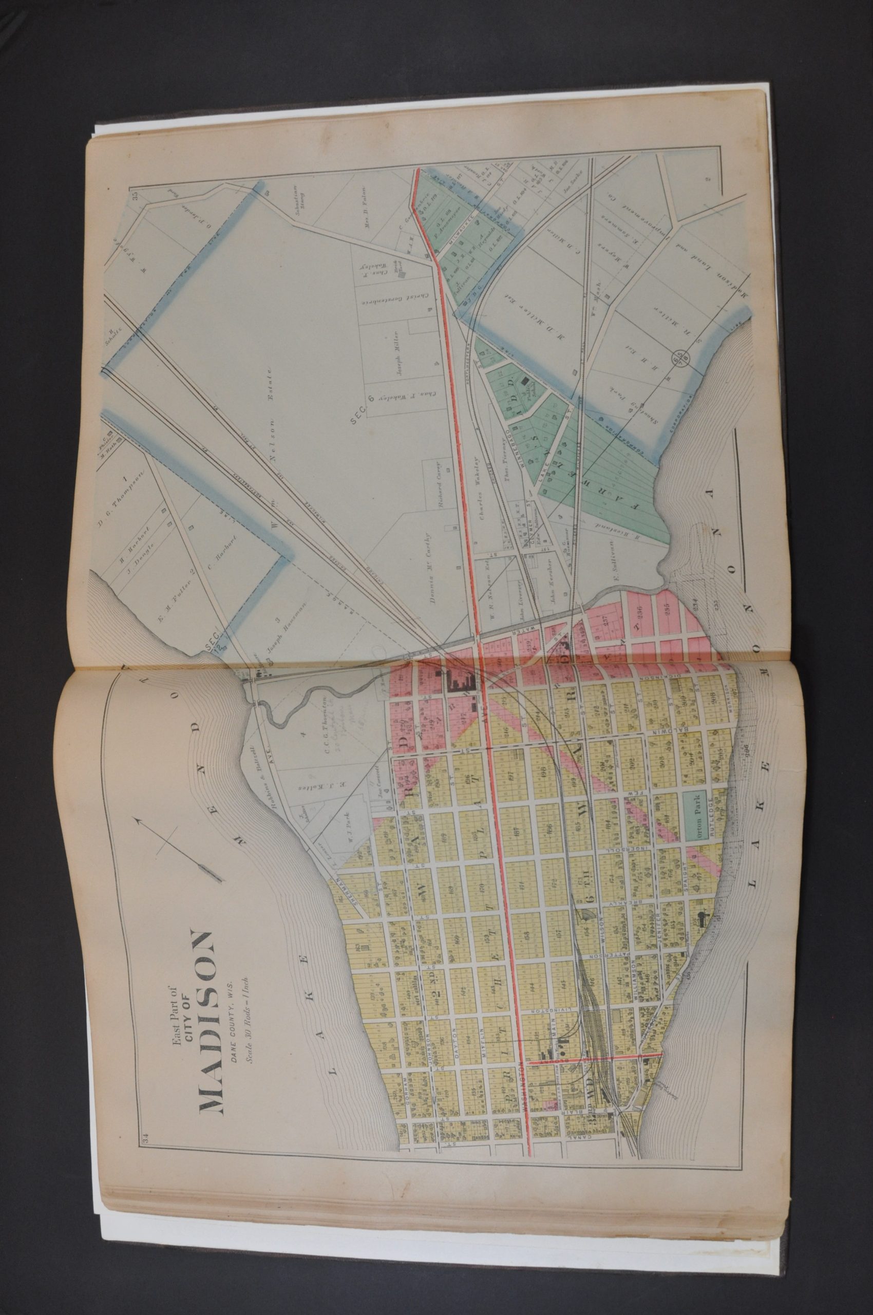
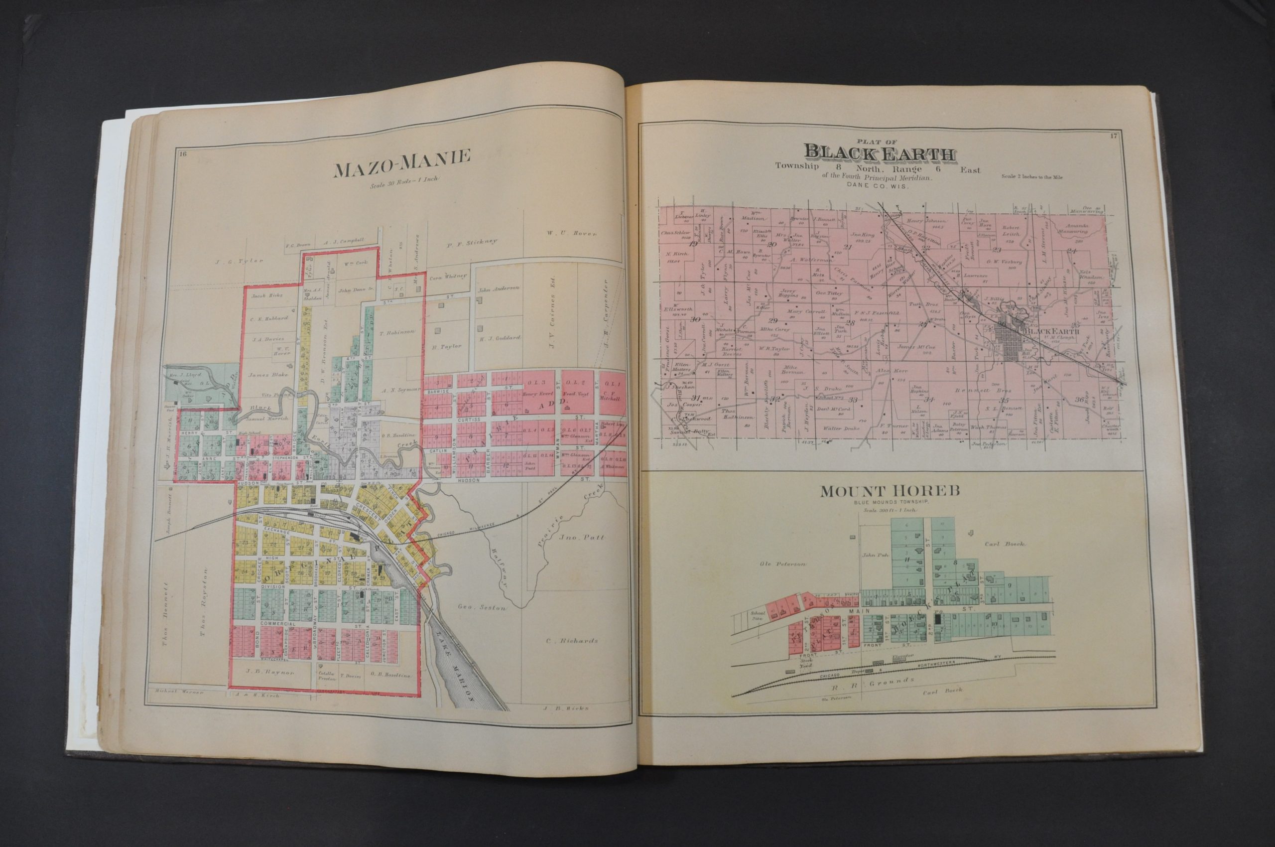
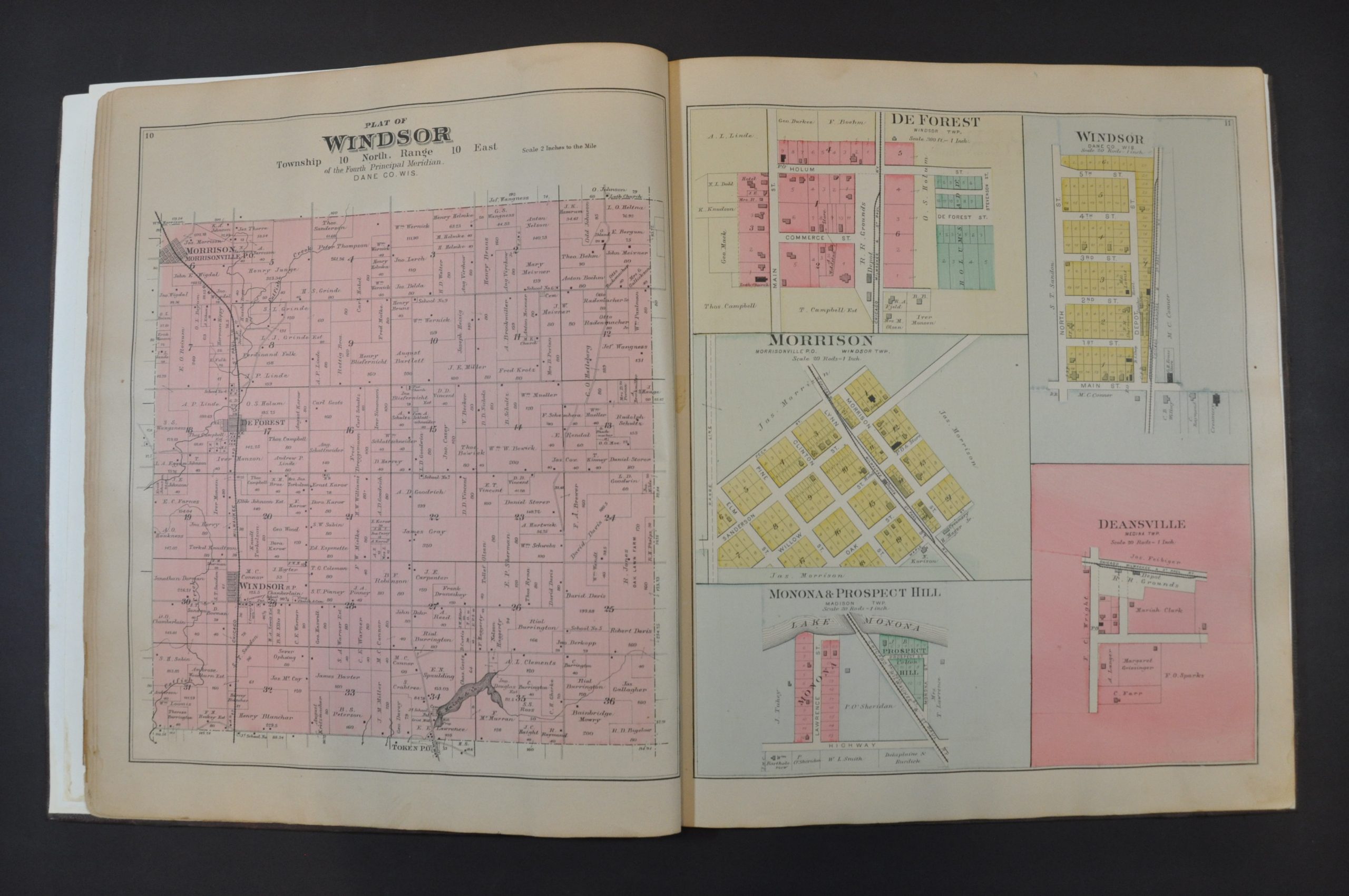
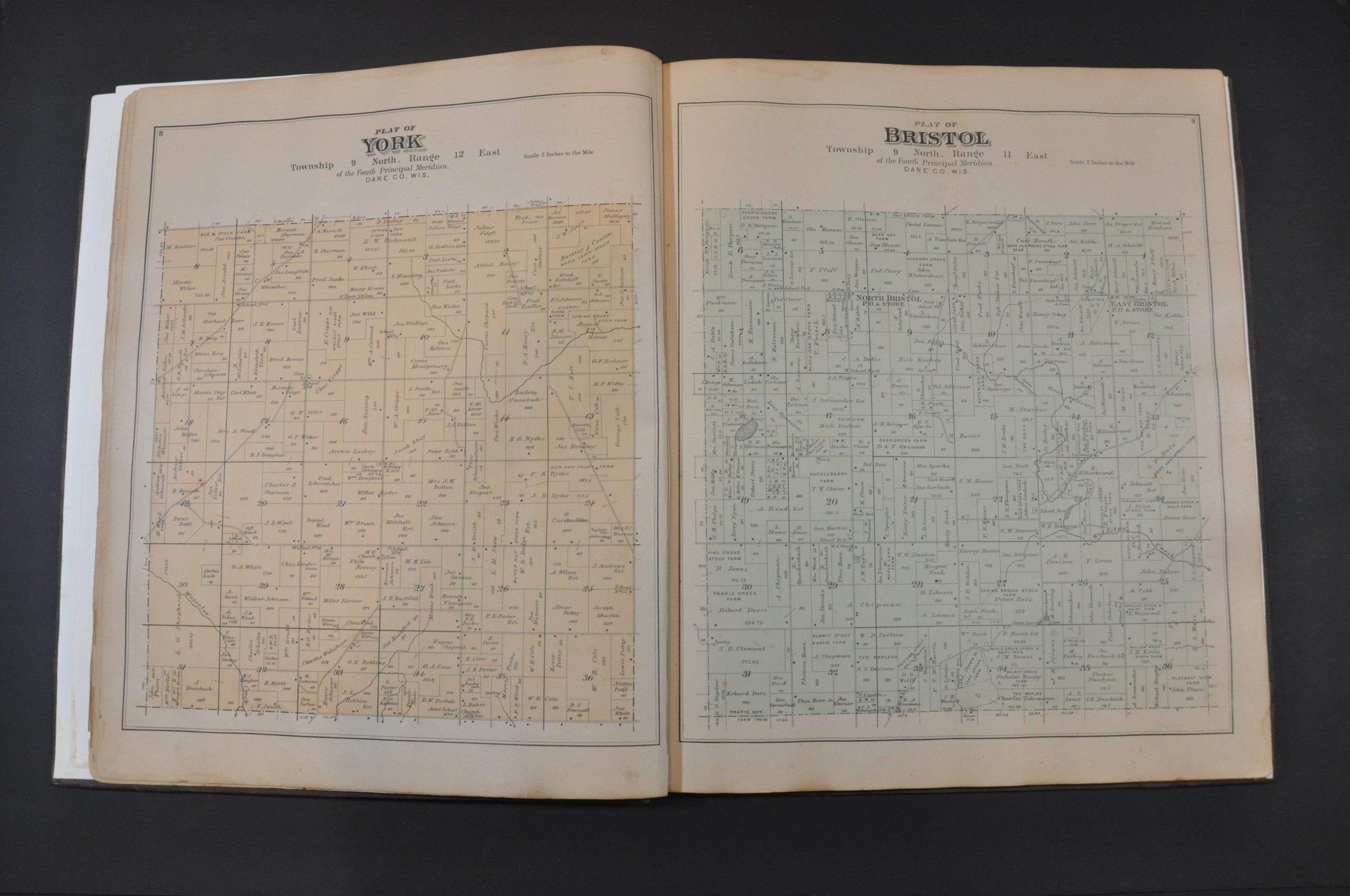
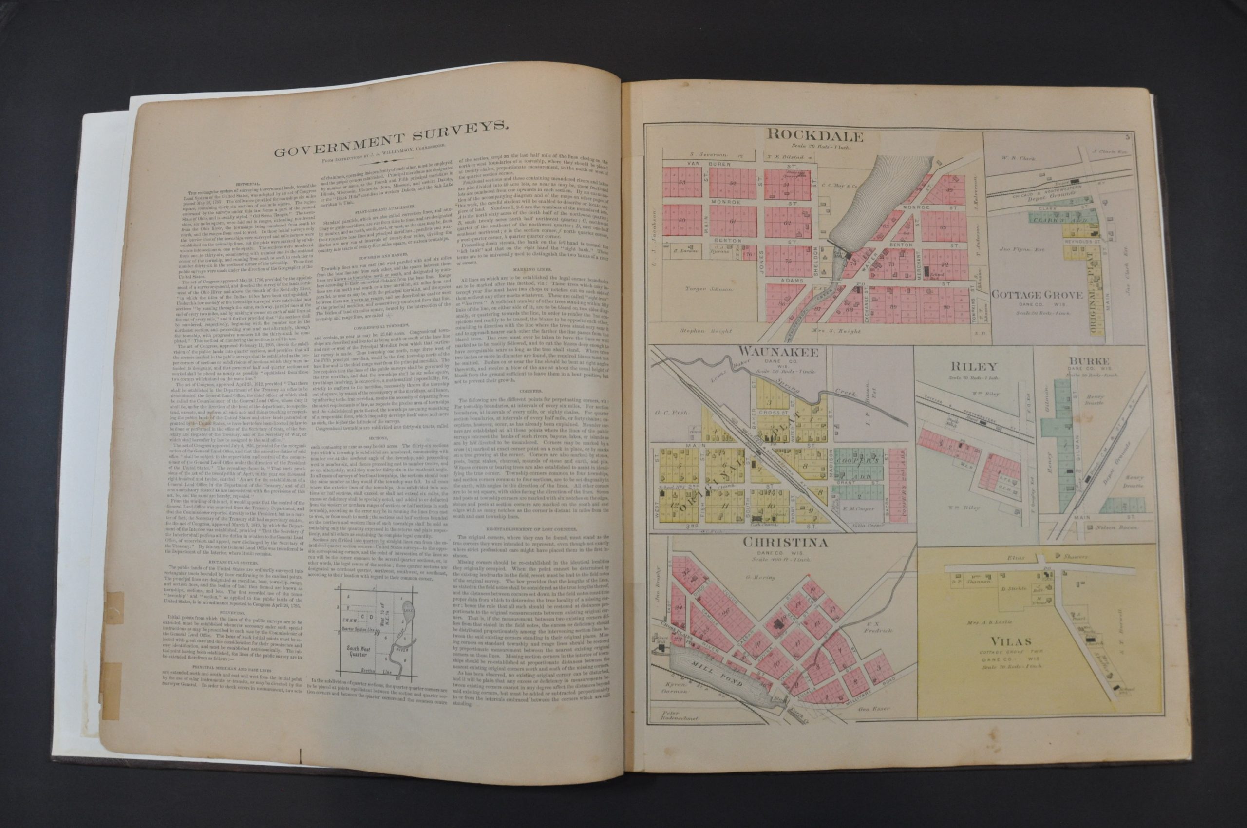
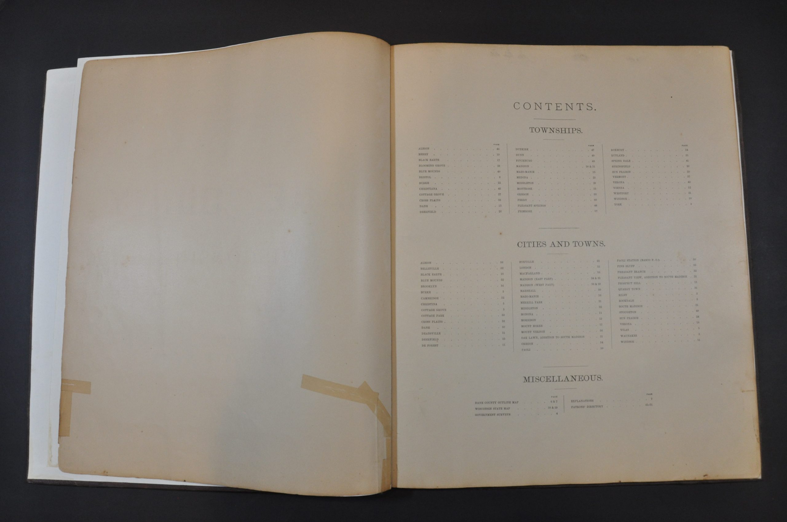
A brief overview of government surveys and land partitioning is followed by a double-page outline map of the county. The image notes transportation routes, settlements, and geographic features – including the iconic Four Lakes of Mendota, Menona, Waubesa, and Kegonsa. This is followed by 4 double-page and 44 single-page maps of townships, village street plans, and city wards. The majority of these provide information on land ownership, property divisions, public areas (parks, cemeteries, etc.), and important buildings. Also included are a two-part city plan of Madison and state map of Wisconsin.
Numerous sheets near the end include business directories and lists of local patrons. This likely refers to the list of residents who ‘subscribed’ to the publication of the atlas by providing funds up-front to defray the costs. This was a common method of publishing county atlases in the late-19th century. For a set fee, subscribers were among the first to receive the finished work and often had the opportunity to pay extra for custom additions. As a result, many examples of county atlases include portraits of individual patrons, views of personal residences and businesses, and even images of prize farm animals!
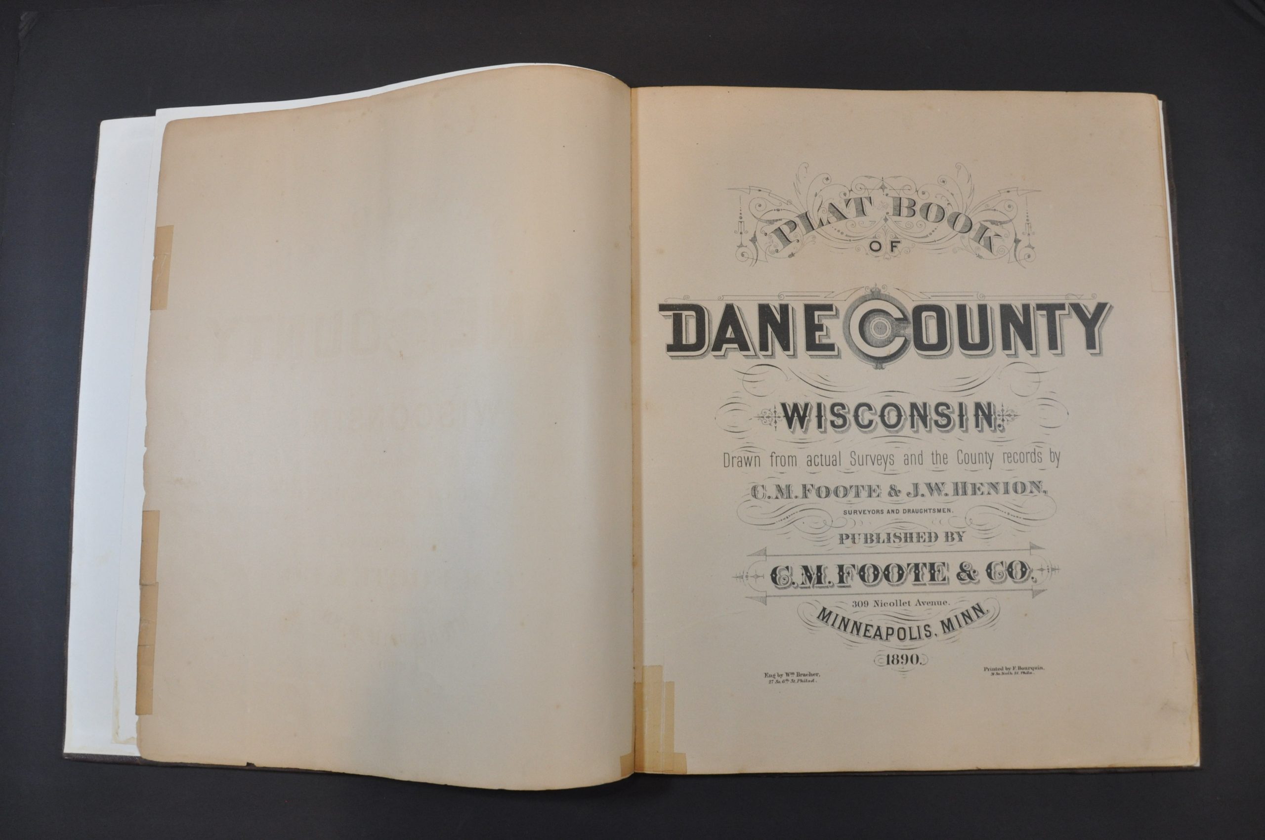
The maps were surveyed and drafted by C.M. Foote and J.W. Henion, with engraving by William Bracher and printing by F. Bourquin. The atlas was published in Minneapolis, Minnesota in 1890 by C.M. Foote & Co.
Map Details
Publication Date: 1890
Author: C.M. Foote and J.W. Henion
Sheet Width (in): 17.75
Sheet Height (in): 15
Condition: A-
Condition Description: Professionally restored and rebound in new quarter leather, with original brown cloth cover applied to the front and back. New endpapers. Contents are complete - 72 pages including 4 double page and 44 single page maps, plus historic text and patrons directory. Old owners inscription preserved on original endpaper. Generally good to very good, with gorgeous original color. A few old tape repairs on the title page. Several sheets show minor edge wear, scattered soiling (fingerprints, spotting, faint damp stains, etc.) and a few closed tears around the outer edges.
Out of stock