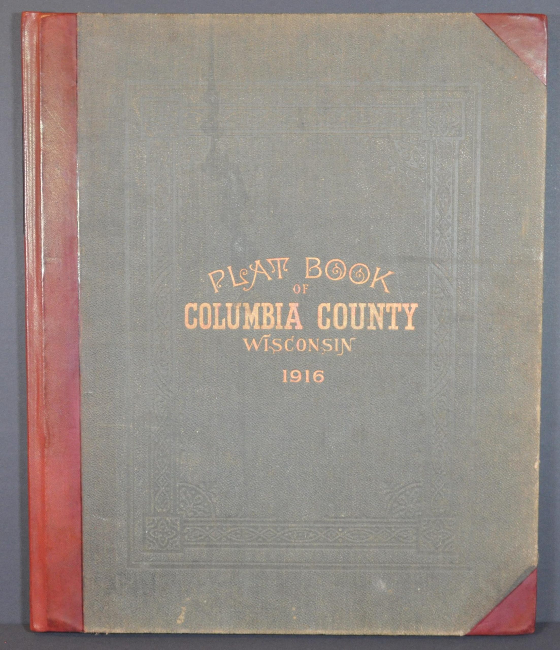
Plat Book of Columbia County, Wisconsin.
$400.00
Detailed atlas of Columbia County, Wisconsin from 1916.
1 in stock


Description
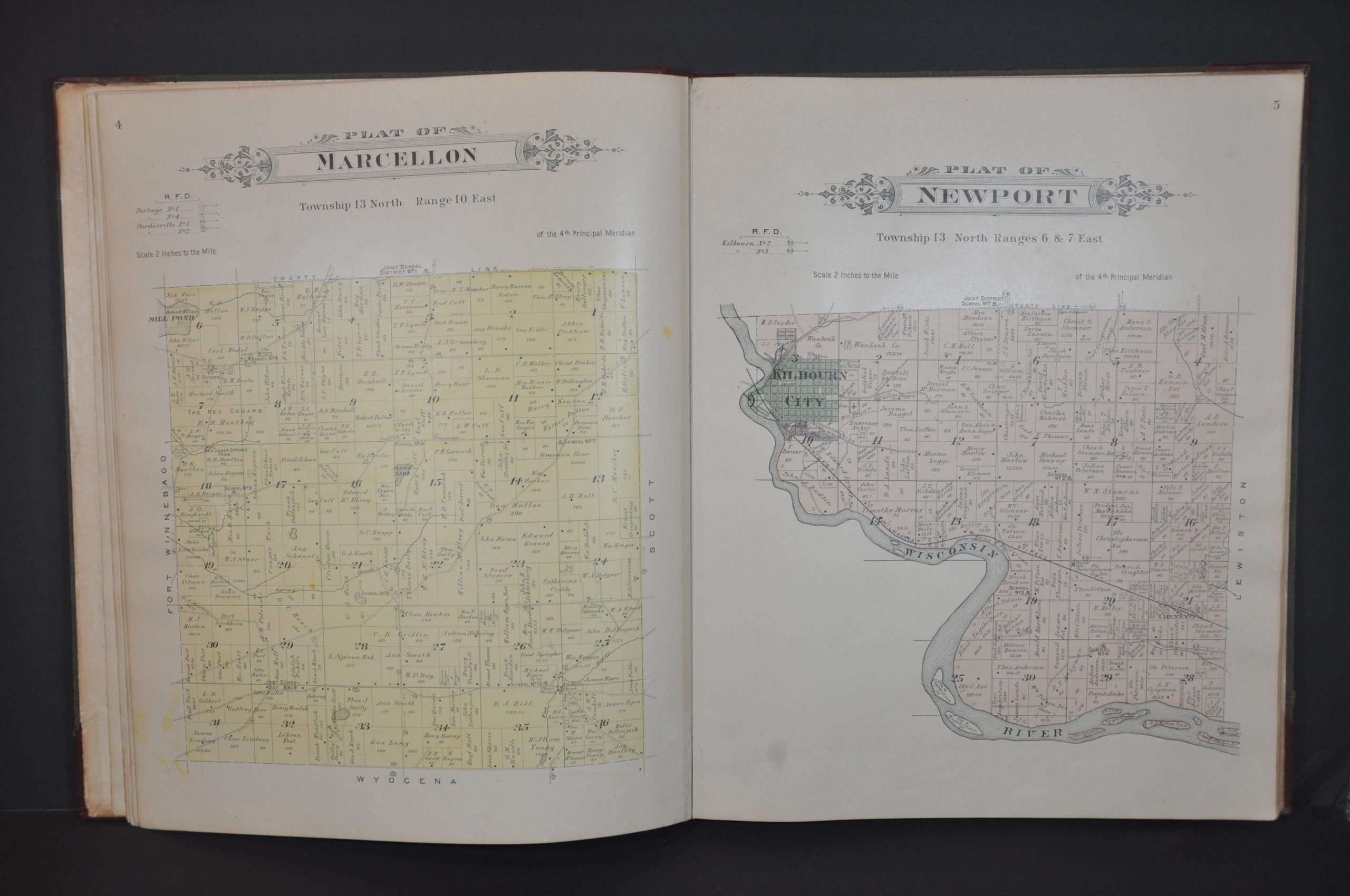
This informative atlas of Columbia County, Wisconsin was published in the small town of Tomahawk by the Hall L. Brooks Company in 1916. Maps were compiled and drafted by Warren E. Brooks, using field work performed by T.C. Robinson.
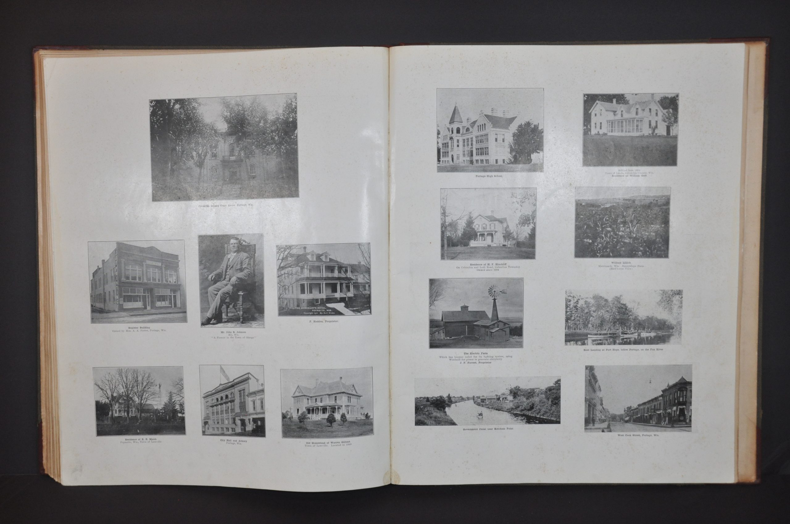
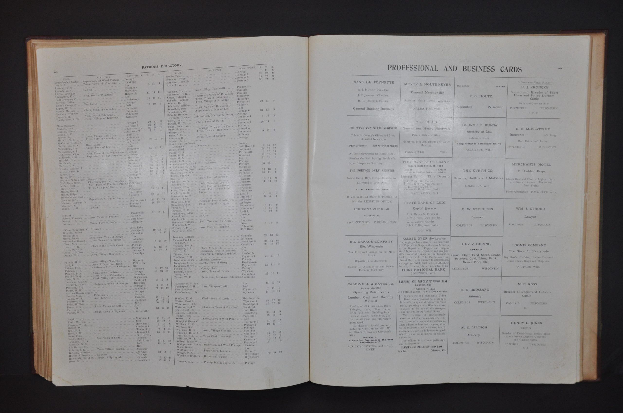
Because of the significant expense of production, many 19th-century county atlases were sold on a pre-order subscription basis. Residents and companies could pay an extra fee to include advertisements, portraits, or images of homes and businesses. The atlas includes a patron’s directory, business index, and numerous photos and views that represent these supporters, offering a unique window into the county’s residents over a century ago.
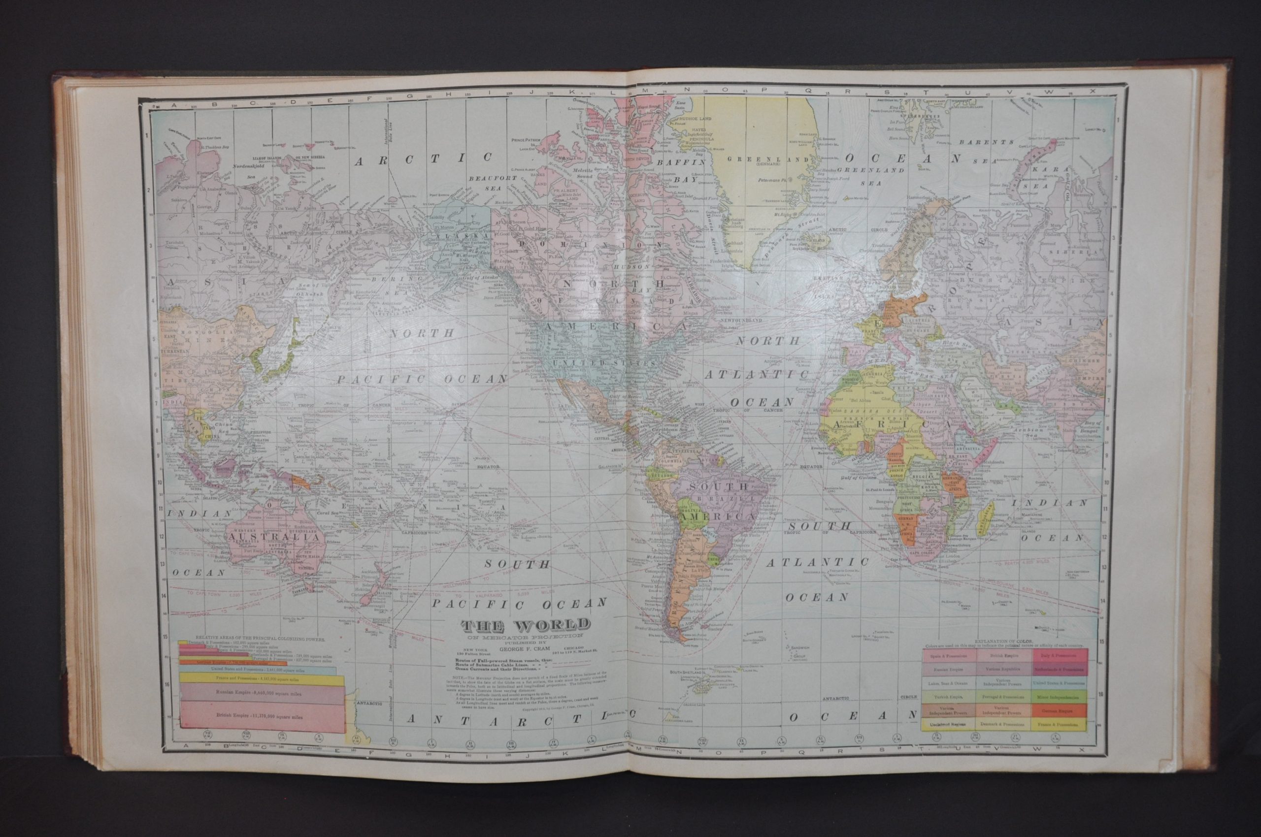
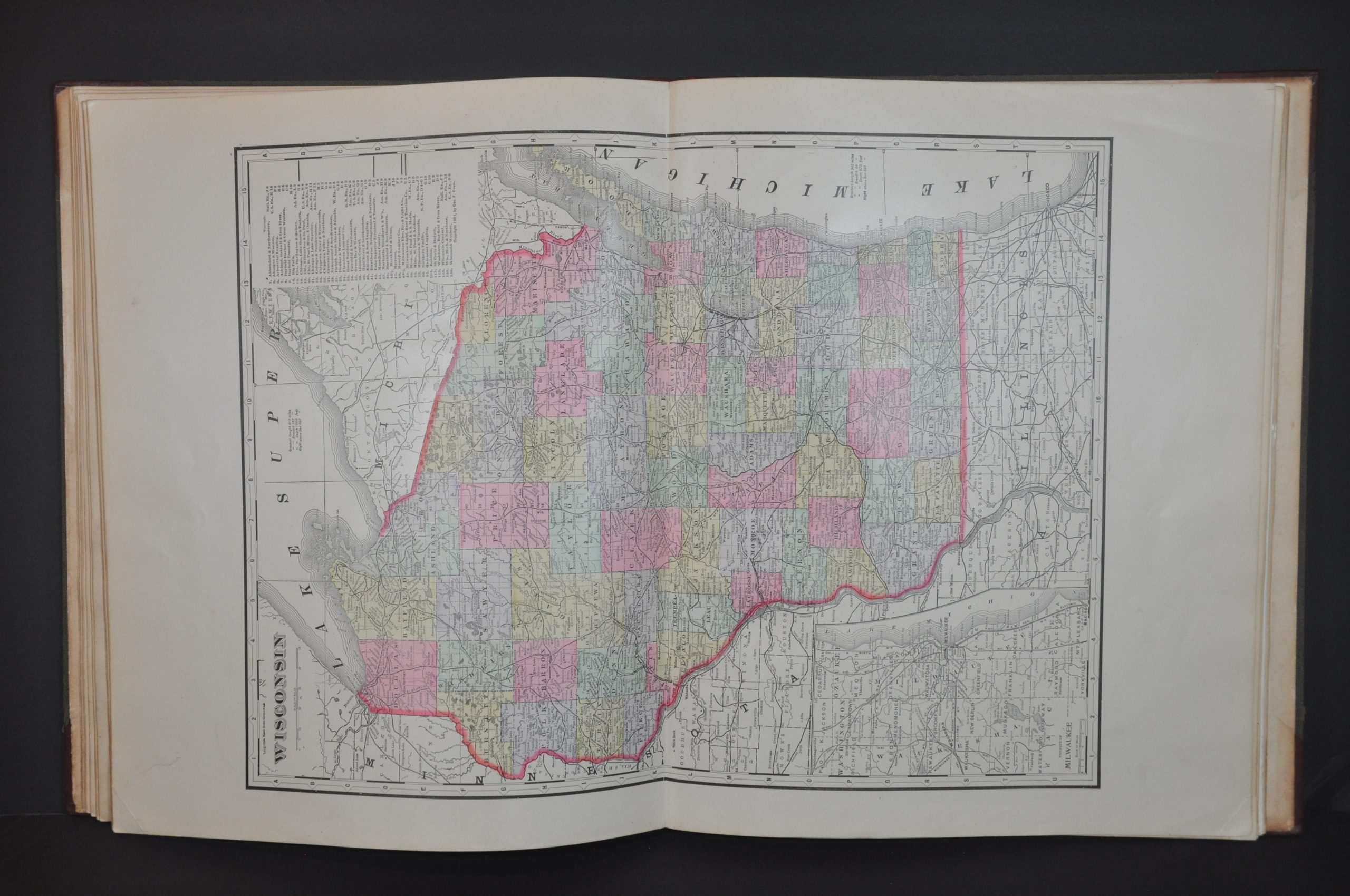
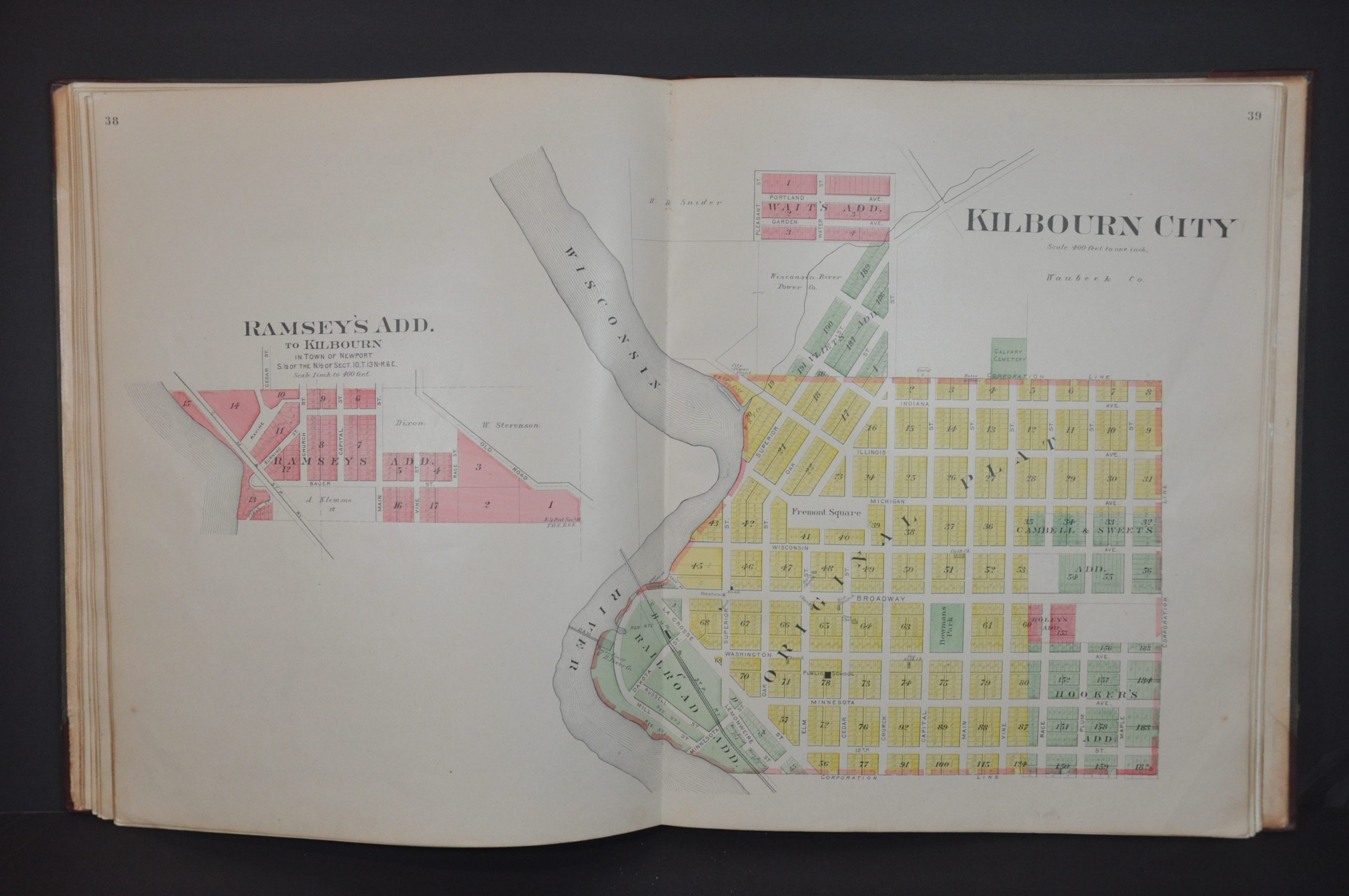
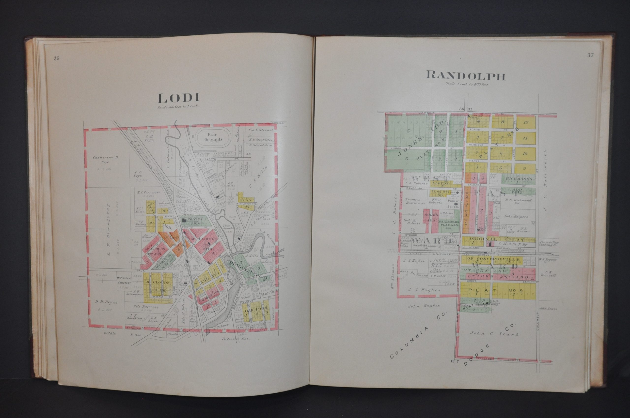
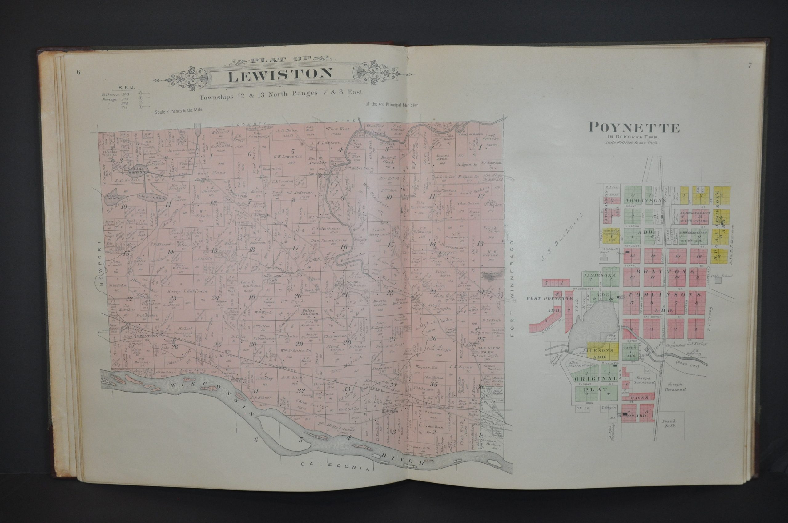
Of course, the atlas also contains maps. A double-page outline map of the county is followed by 39 single-page and 6 more double-page maps that cover every village, city, and township. Each sheet shows local landowners, important buildings, transportation routes, geographic features, and other contemporary items of interest. Of particular note is the double-page street plan of Portage, the county seat. The volume concludes with three double-page maps by George Cram that cover Wisconsin, the United States, and the World.
Map Details
Publication Date: 1916
Author: Warren E. Brooks
Sheet Width (in): 15
Sheet Height (in): 18.75
Condition: A-
Condition Description: Rebound in new quarter red leather with original embossed brown cloth boards. Gutter is newly repaired also. Complete, 60 pp., with 31 single page and 9 double page maps. Contents are generally very good, with some light toning, creased corners, dirty fingerprints, and other scattered soiling and wear consistent with age and use.
$400.00
1 in stock