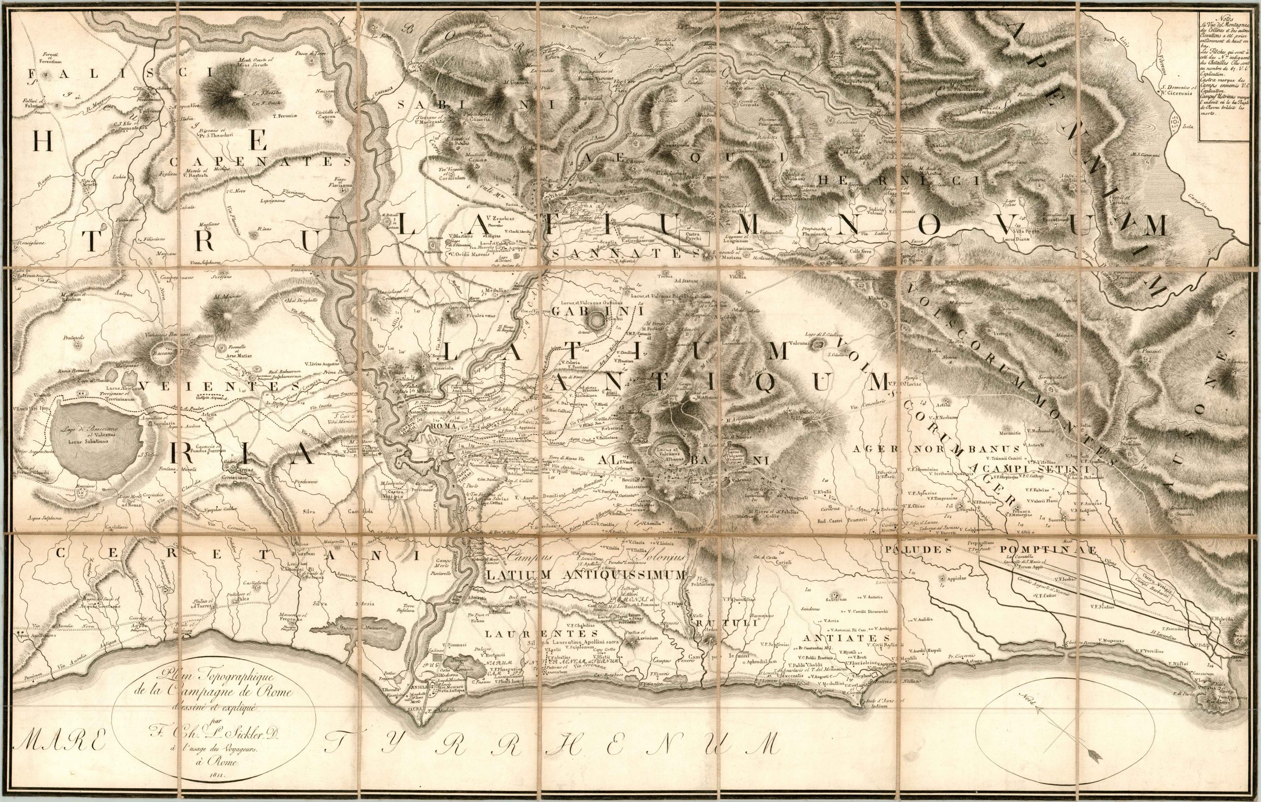
Plan Topographique de la Campagne de Rome
$250.00
First edition of an archaeologist’s map of the area around Rome.
1 in stock
Description
Perhaps unsurprisingly, historical information and classical place names dominate this map of the area around Rome; designed by renowned German antiquarian Friedrich Carl Ludwig Sickler and published by Venanzio Monaldini in 1811.
It shows the coast along the Tyrennhian Sea from Lake Bracchiano to Mount Circeo and inland to the foothills of the Central Apennines. The map was designed as a travel guide to aid those interested in the historic aspects of the region, and as such it shows extensive topographical detail, ancient sites, transportation routes, and other important landmarks.
Map Details
Publication Date: 1811
Author: Friedrich Sickler
Sheet Width (in): 34.70
Sheet Height (in): 22.20
Condition: B+
Condition Description: Minor to moderate discoloration along the linen between the dissected panels. Faint wear along the outer edges and a few smudges along the bottom of the sheet. The original green marbled slipcase is present and in good condition, with only minor wear and a few small chips.
$250.00
1 in stock


