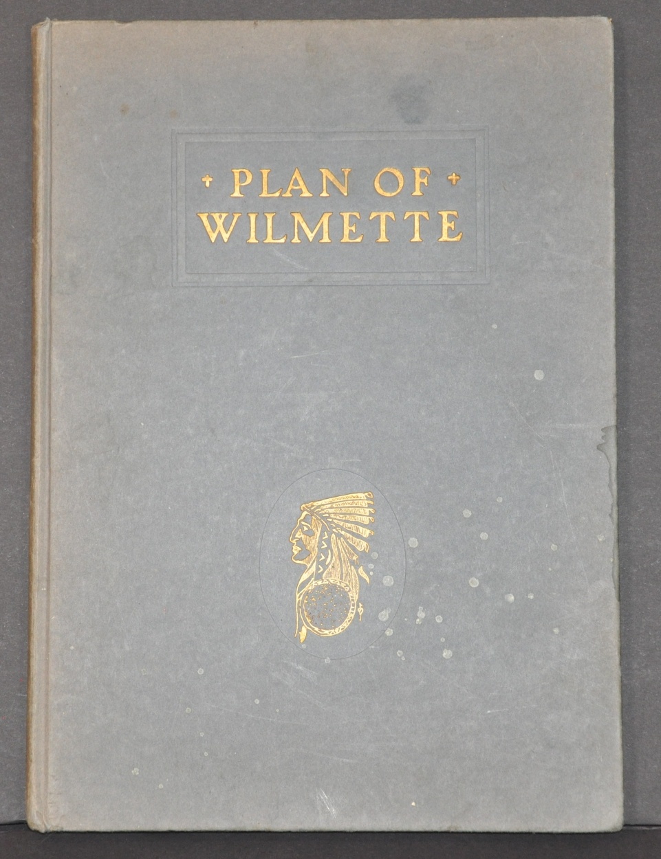
Plan of Wilmette
Civic improvements in one of Chicago’s North Shore suburbs.
Out of stock

Description
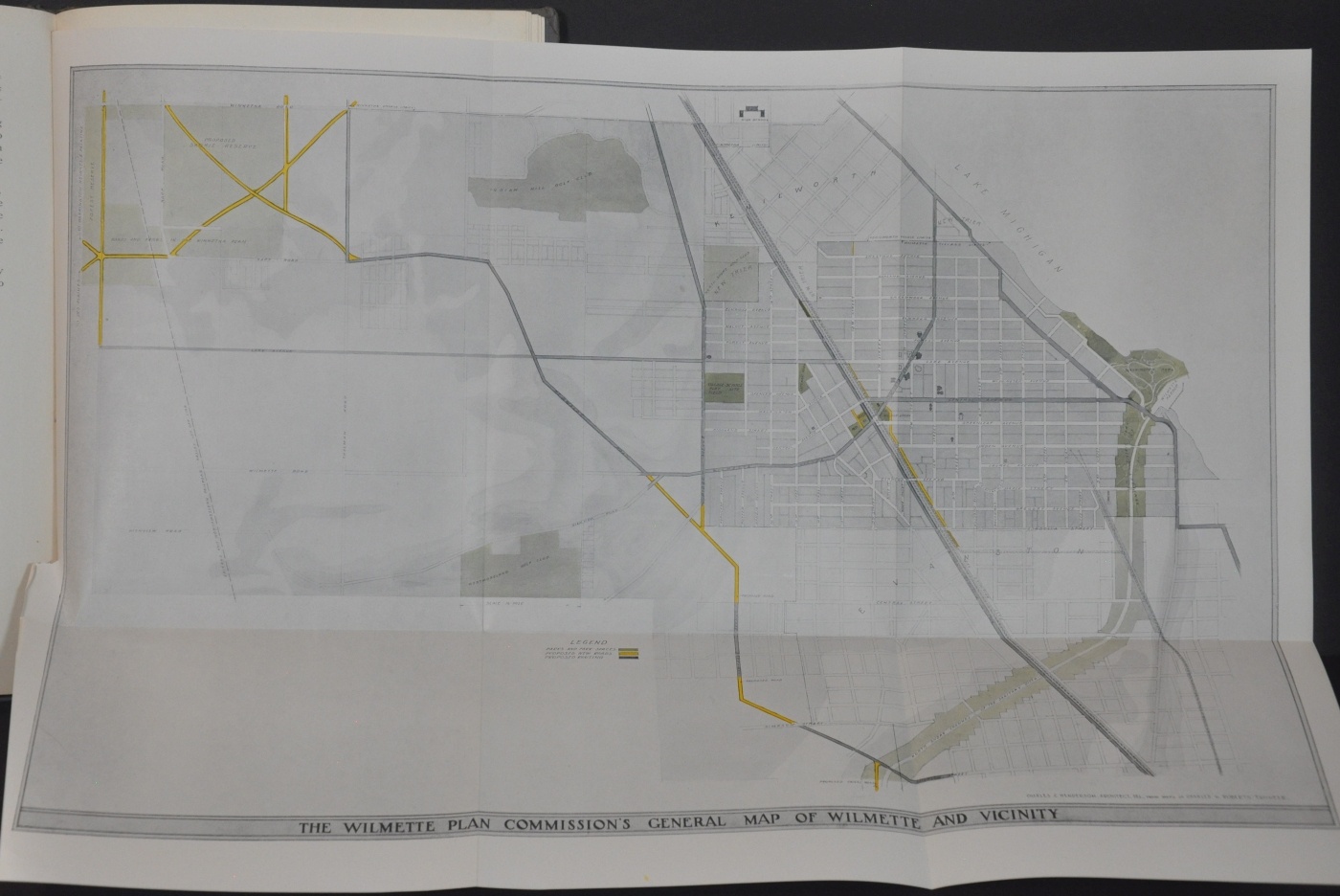
The Wilmette Plan Commission was organized by the Board of Trustees in 1919 to “take such steps as they deem necessary in drafting plans on matters of public benefit to the village as a whole.” It consisted of fifteen prominent residents and over the following three years they drafted suggestions on a wide range of civic improvements.
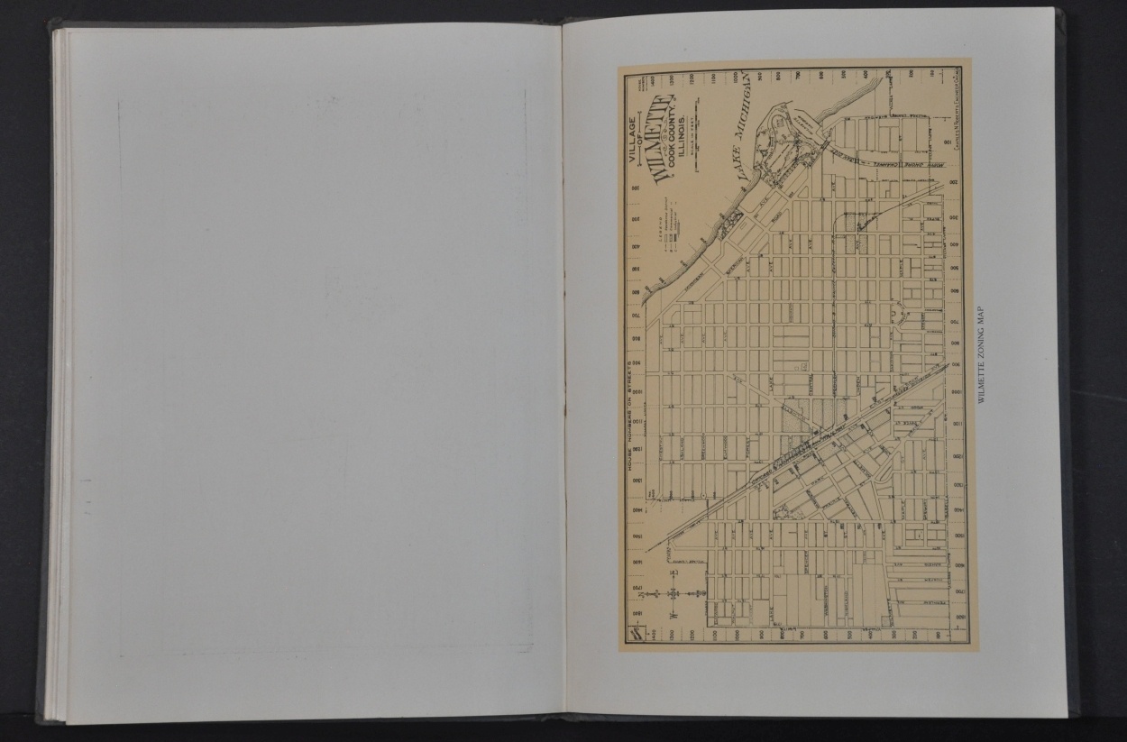
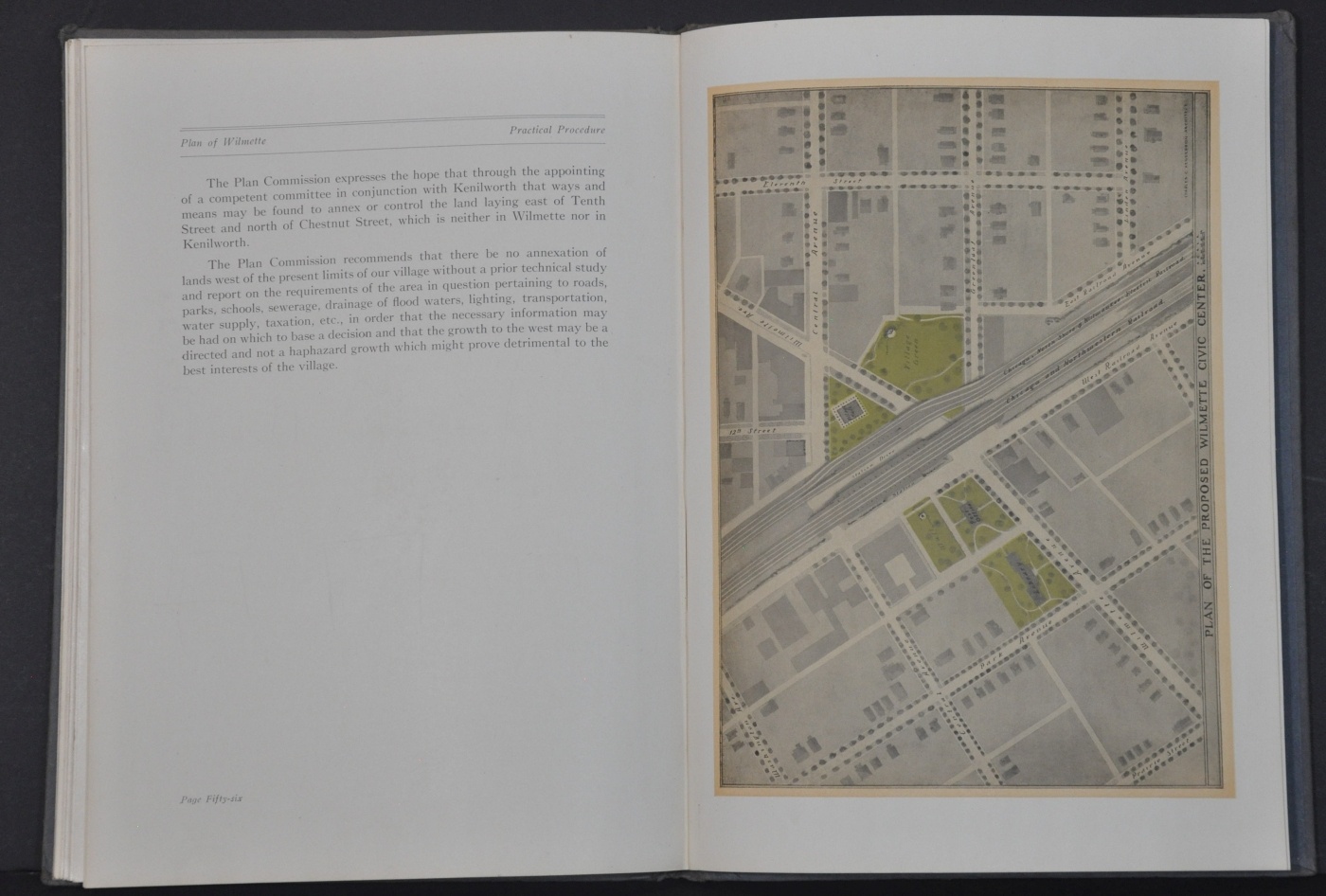
The resulting report, published in 1922, features a table of contents with topics that include water supply, transportation requirements, street lighting, the park system, population forecasts, a brief history of the town, and much more. The volume is accompanied by numerous illustrations, including a fold-out map of the plan proposals, a bird’s eye view of the city, and a diagram of the proposed Civic Center.
Though few of the recommendations contained within the Wilmette Plan were actually adopted or implemented, the publication represents an envisioned future with additional green spaces, better access to public transportation, and easily accessibly cultural venues. Sounds pretty great, even nearly 100 years later!
Map Details
Publication Date: 1922
Author: The Wilmette Plan Commission
Sheet Width (in): See Description
Sheet Height (in): See Description
Condition: A
Condition Description: 58 pp. with printed color, bound in embossed gilt blue boards. Covers are spotted and slightly damp stained, but contents are very good overall. Pages are slightly toned around the outer edges and there are a few old pencil scribbles on the back of some of the latter pages. Includes three single page color plans and a folding map that measures approximately 20" x 13.75"
Out of stock