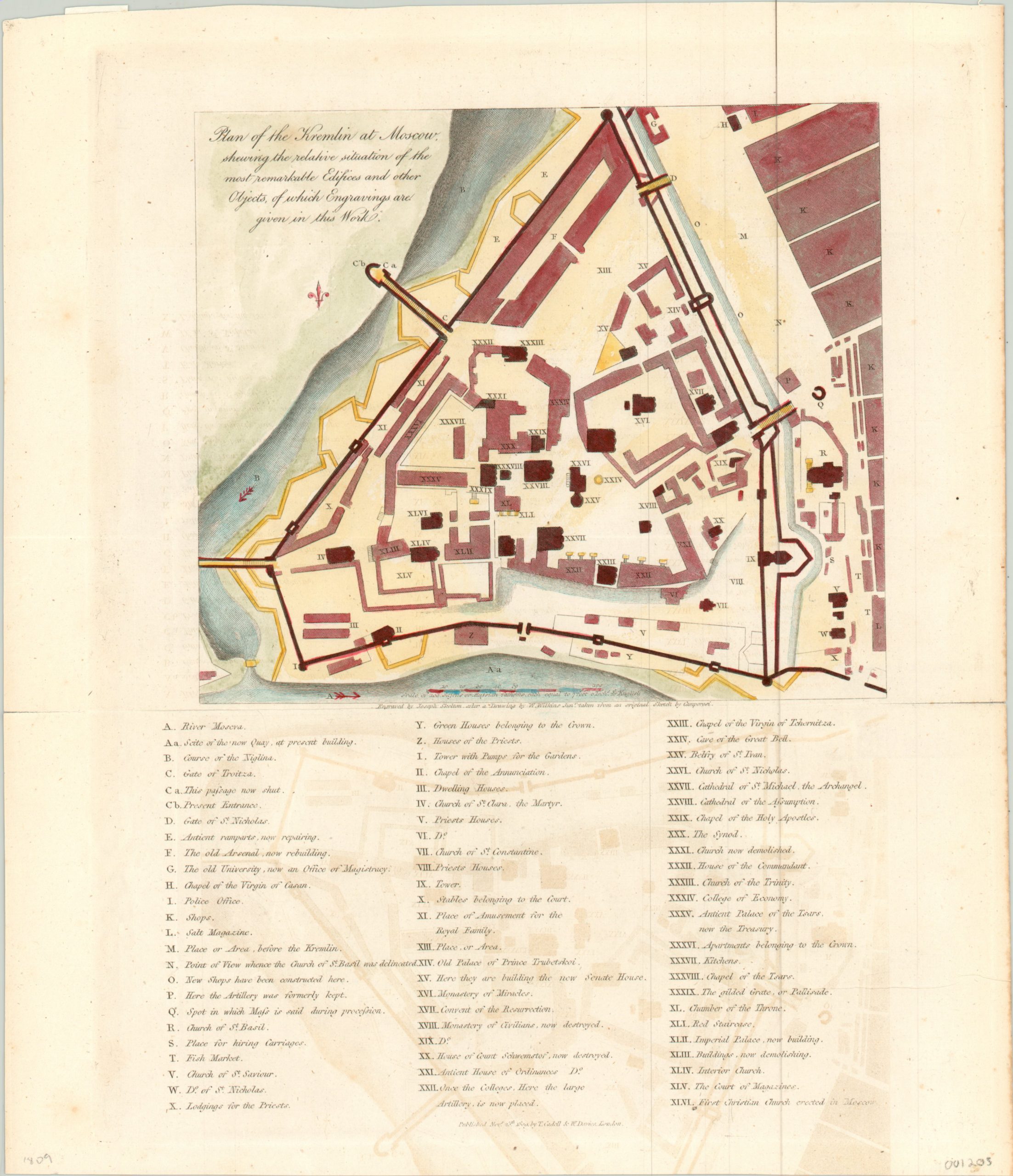
Plan of the Kremlin at Moscow
$210.00
Early 19th century English plan of the Kremlin in Moscow.
1 in stock
Description
The Kremlin has been associated with the Slavic people and Russian identity long before the Tsars called it home. Originally called the ‘grad’ of Moscow in the 14th century, the fortified complex would be consistently reinforced and expanded through the 20th century. In 1773, Catherine the Great ordered a new residence built there, and ushered in new era of opulence during the imperial period.
This map, engraved by Joseph Skelton and published in London by Cadell & Davies, shows the Kremlin during the reign of Alexander I. The accompanying key identifies forty-six locations of interest; including a new wharf, a cab stand, the fish market, green houses, and the “cave of the great bell” – the casting pit for one of the largest bells in the world, the so-called Tsar Kolokal.
Several entries reference buildings that are either destroyed or under construction, referring to the constant process of re-building that took place within the Kremlin’s walls. Less than 3 years after publication, additional re-construction would be required, after Napoleon captured Moscow and destroyed much of the complex.
Map Details
Publication Date: 1809
Author: Joseph Skelton
Sheet Width (in): 10.6
Sheet Height (in): 12.25
Condition: B+
Condition Description: Moderate offsetting visible along the lower half of the sheet and creasing along horizontal centerfold. Otherwise near fine condition.
$210.00
1 in stock

