
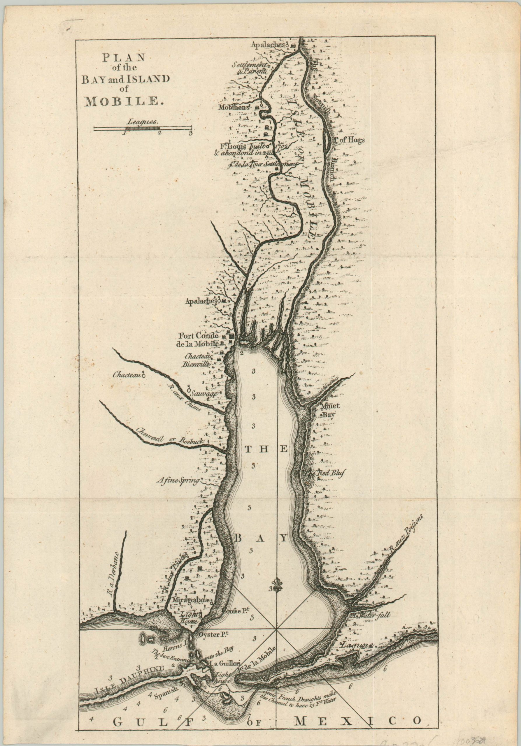
Plan of the Bay and Island of Mobile
Rare plan of Mobile Bay published shortly before it’s acquisition by Britain.
Out of stock
Description
This modest, but important, chart of Mobile Bay was published by Thomas Jeffreys in London in 1763 as part of William Robert’s “An account of the first discovery, and natural history of Florida.” The same year as publication, Britain took official control of the area per the terms of the Treaty of Paris that ended the Seven Years’ War with France.
Various indigenous settlements, fortifications, and geographic features are labeled throughout the image. Of notable interest is Fort Conde, renamed Fort Charlotte shortly after the British took possession and two lighthouses.
Depth soundings are noted throughout the shallow bay and annotations provide further information on the best point of entry. The area flourished under the British as the capital of it’s colony of West Florida, though it would be captured by the Spanish during the American Revolutionary War in 1780.
Map Details
Publication Date: 1763
Author: Thomas Jeffreys
Sheet Width (in): 7.90
Sheet Height (in): 11.25
Condition: A
Condition Description: Creased along three horizontal fold lines and very faintly soiled in the margins. Near fine.
Out of stock