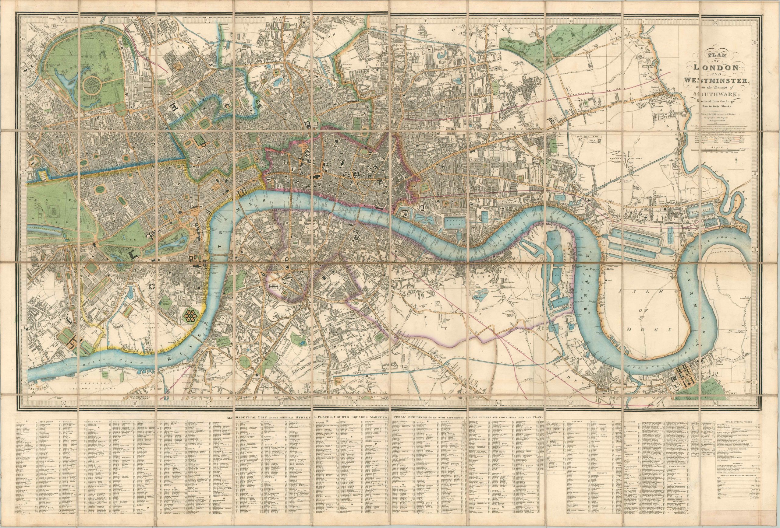
Plan of London and Westminster with the Borough of Southwark
$1,250.00
Spectacular case map of the ‘Big Smoke’ – the largest city in the world – at the dawn of the Victorian era.
1 in stock
Description
This tremendous map of London was published by in 1841 by James Wyld, Royal Geographer to her Majesty Queen Victoria. The skillful steel engraving allows for the transmission of precise contemporary details like the outlines of individual blocks, the names of prominent buildings or locations of interest, and even the individual landscaping features that adorned the city’s parks and cemeteries. Color is also effectively used to highlight the last category, which were popular places for public outdoor amusement and recreation.
Further tones, all applied by hand, distinguish between the various wards and cities captured within the image; including the city limits of London, Southwark, Marylebone, Westminster, the Tower Hamlets, Lambeth, and Finsbury. The cosmopolitan traveler was obviously in mind as the target audience. A comprehensive index to London’s streets, courts, inn, theaters, squares, and public buildings is provided at the bottom of the list. Over two hundred individual entries include coordinates that correspond to the grid system of numbers and letters around the piano-key border.
Further statistics note London’s population (approximately 1.25 million), various climate data, and the annual citywide consumption of a wide array of provisions. Nearly 12 million gallons of spirituous liquor and a quarter million calves, to name just two startling examples. The city experienced tremendous growth during the Industrial Revolution of the preceding decades, and the widespread implementation of steam power would further revolutionize transportation and industrial production across Britain.
Map Details
Publication Date: 1841
Author: James Wyld
Sheet Width (in): 43.50
Sheet Height (in): 29.50
Condition: A-
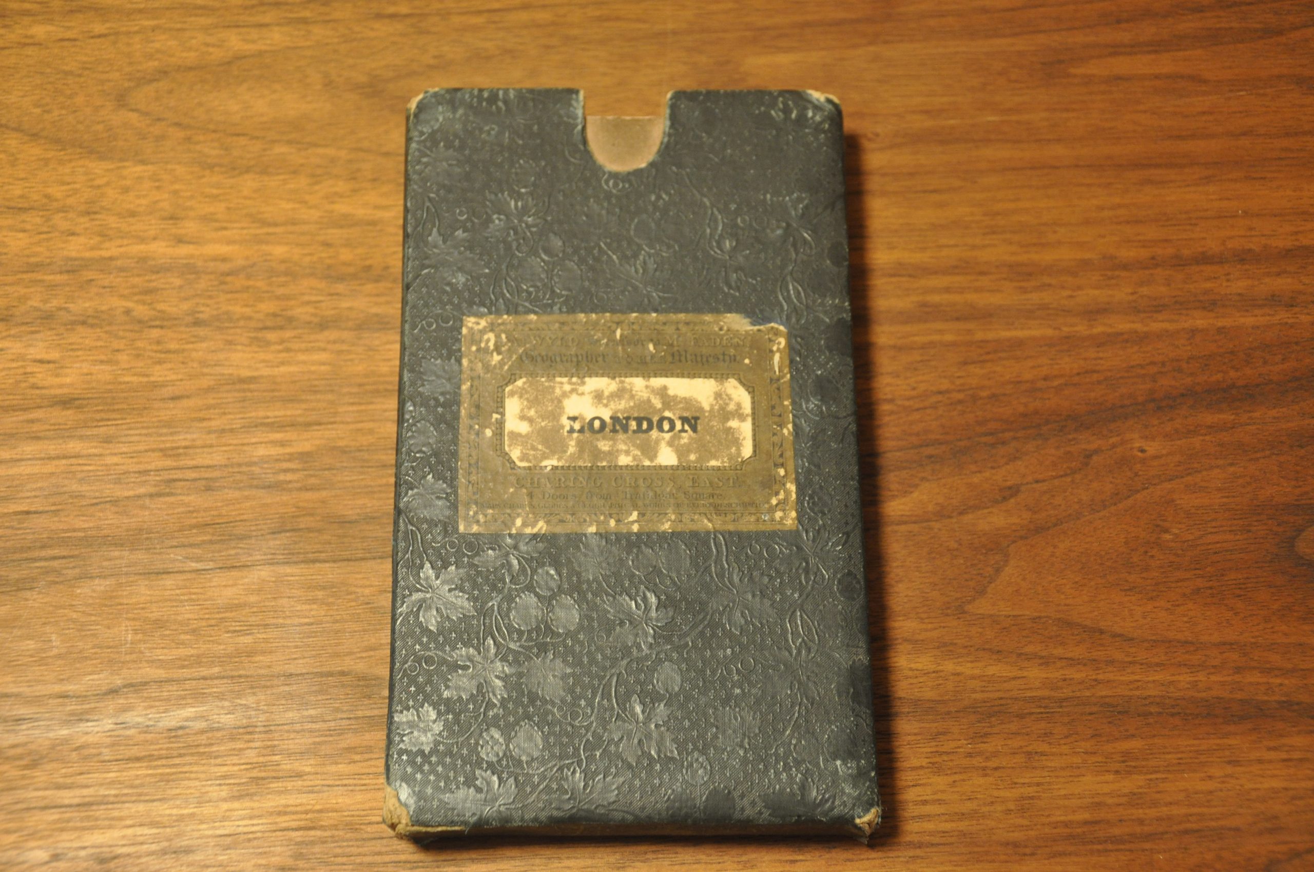
Condition Description: The map has been dissected into 40 panels and mounted onto linen. Slight wear along the folds, most evidently along the horizontal seam across the center of the sheet. A bit of faint soiling around the outer margins and in a few areas scattered across the image, but overall in very good condition. Includes the original slip case with publisher's stamp.
$1,250.00
1 in stock