Plan de L’Observatoire Royal de Paris
$95.00
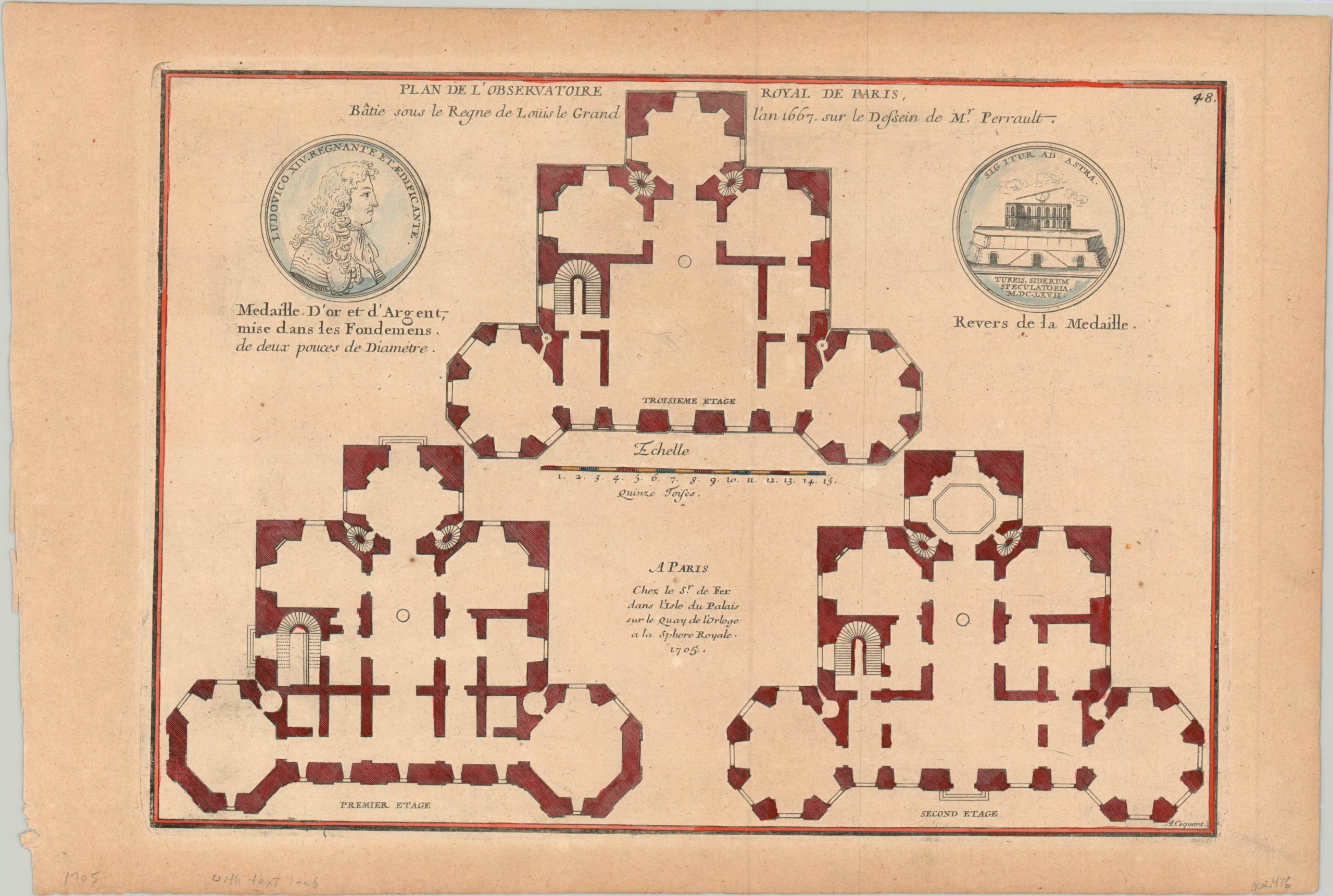
Early 18th century plan of the Paris Observatory – one of the foremost astronomical research centers in the world.
1 in stock
Description
Under the leadership of the Sun King, Louis XIV, France underwent a scientific revolution in the second half of the 17th century. The construction of the Paris Observatory, under the authority of the newly formed French Academy of Sciences, was authorized in 1666 and completed five years later. It was the finest astronomical institution in the world, and celestial discoveries began almost immediately after it opened for use.
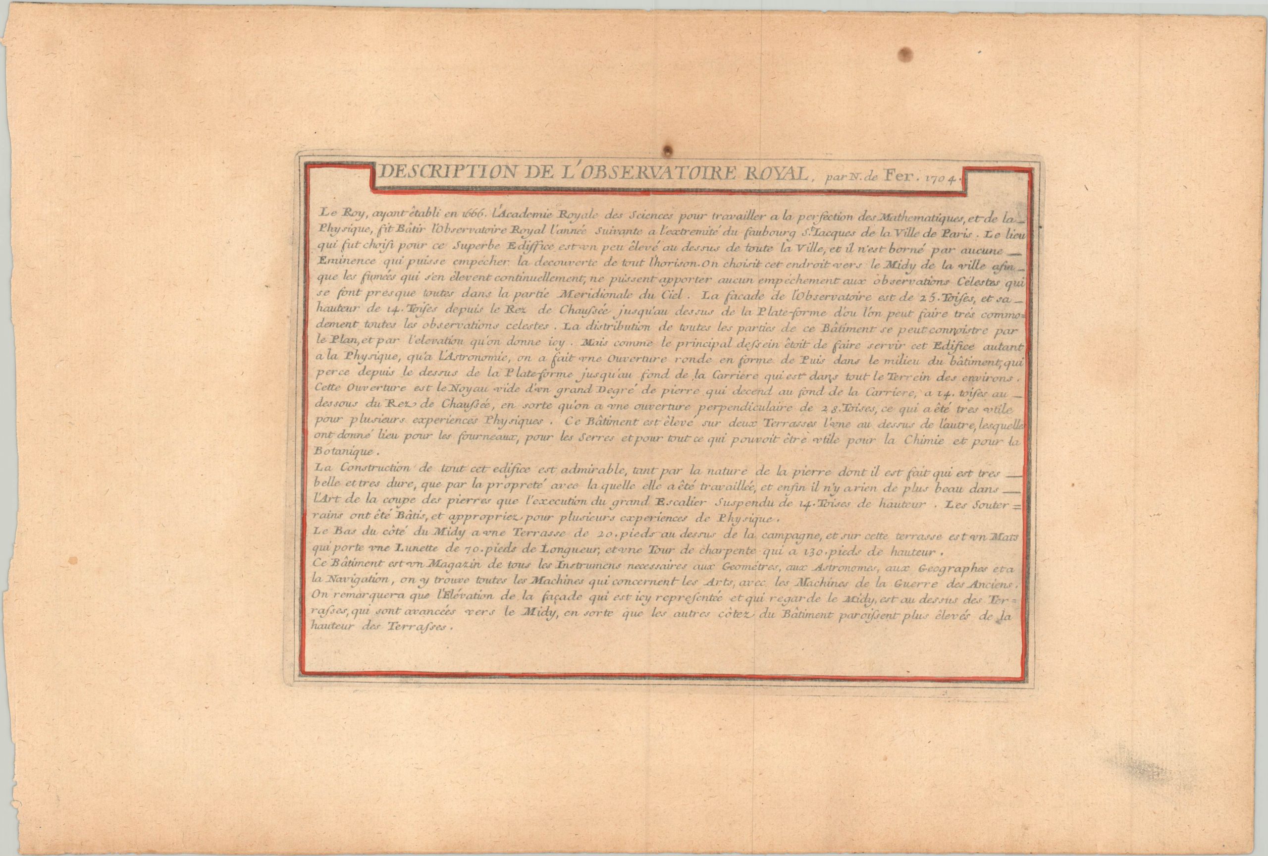
This diagram shows the outline of the Royal Observatory just a few decades after construction, and includes a sheet of text with a brief historical description written by the cartographer. The sheet also includes images of each side of a medal cast to commemorate the observatory’s founding.
The map was published in Paris by Nicholas de Fer in 1705 for inclusion in his Atlas Curieux.
Map Details
Publication Date: 1705
Author: Nicholas de Fer
Sheet Width (in): 15.60
Sheet Height (in):
Condition: B+
Condition Description: Moderately toned sheet has light soiling in the margins and a few small spots within the image. Very good overall, with nice hand color.
$95.00
1 in stock


