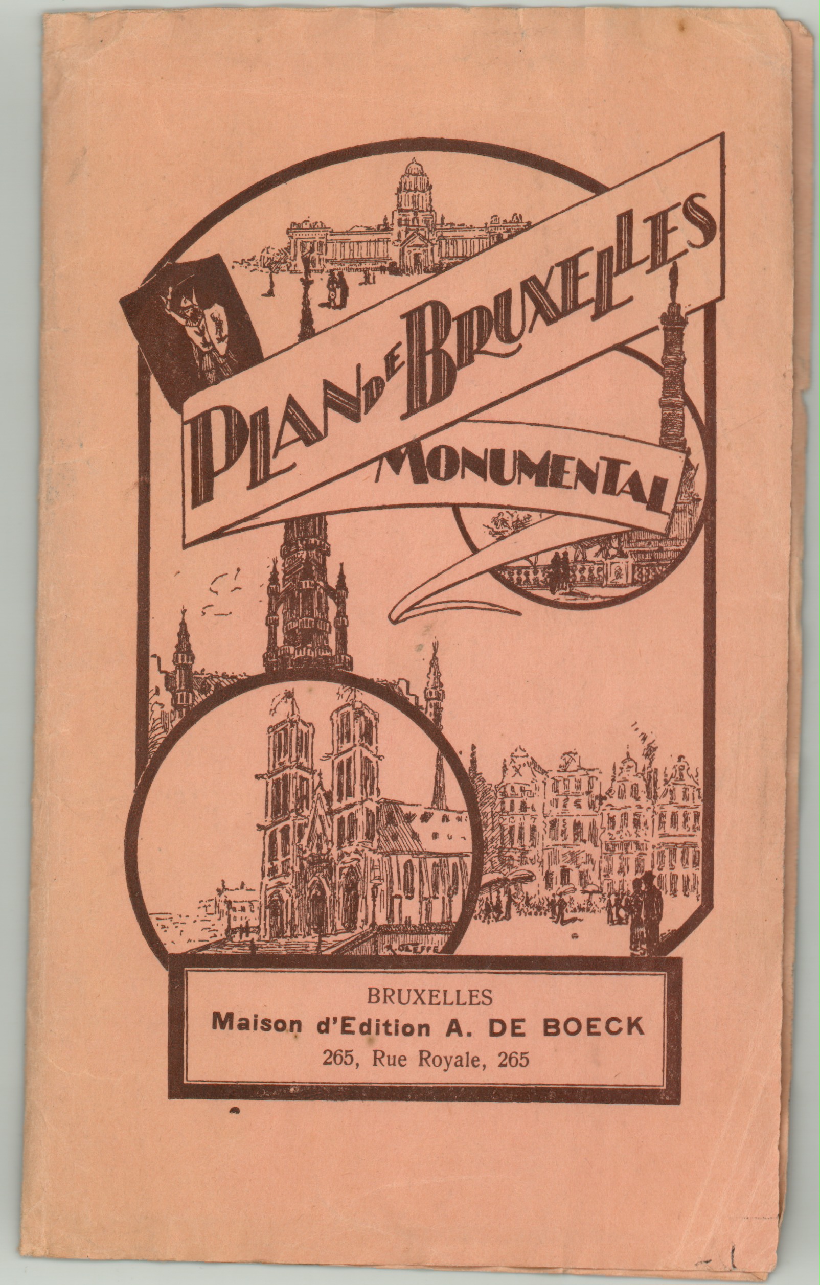
Plan de Bruxelles Monumental
Original price was: $125.00.$85.00Current price is: $85.00.
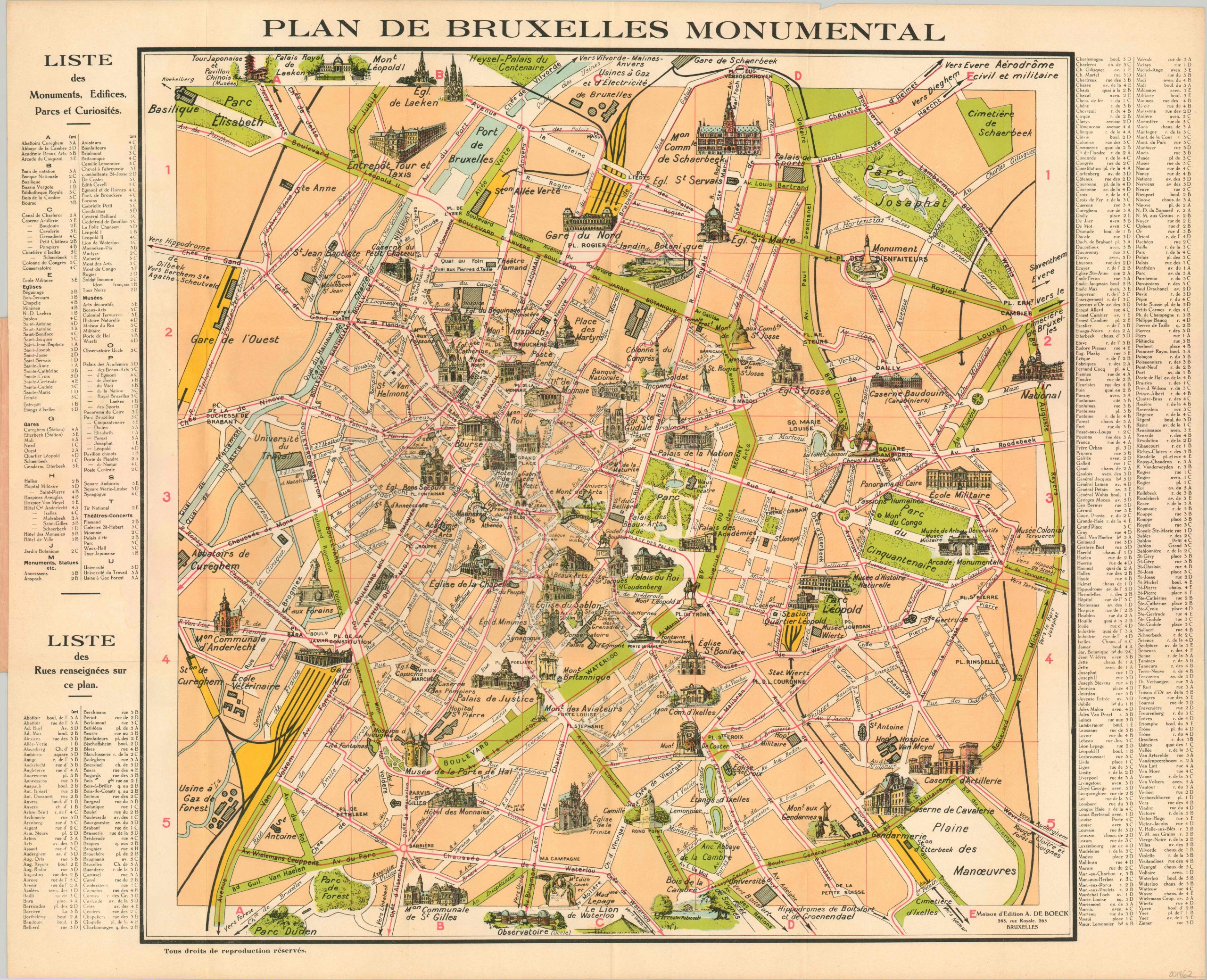
Attractive 20th century tourist map of Brussels.
1 in stock
Description
This folding city map (issued in French) highlights the Belgian capital’s wonderful monumental architecture. Dozens of illustrations represent locations of interest, historic sites, statues, hotels and more. The robust park system is colored in bright green, while a grid system overlaid in red corresponds to the street index and list of prominent attractions available on either side of the image. Local transportation routes and train stations are also highlighted.
The map was dated using the presence of the Palais du Centenaire in Heysel Park, constructed for the 1935 Brussels International Exposition. It is one of several examples of city maps of Brussels issued in the early decades of the 20th century by the local publishing firm of A. De Boeck.
Map Details
Publication Date: c. 1936
Author: A. De Boeck
Sheet Width (in): 27.00
Sheet Height (in): 22.00
Condition: A-
Condition Description: Issued folded into 18 panels and affixed to original pink paper covers. Map is in fine condition, with faint creasing along fold lines and very minor toning along the extreme outer edges of the sheet. The covers are worn and creased, but intact and complete. Very good to fine condition overall.
Original price was: $125.00.$85.00Current price is: $85.00.
1 in stock