
Plan de Bruxelles et Faubourgs
$125.00
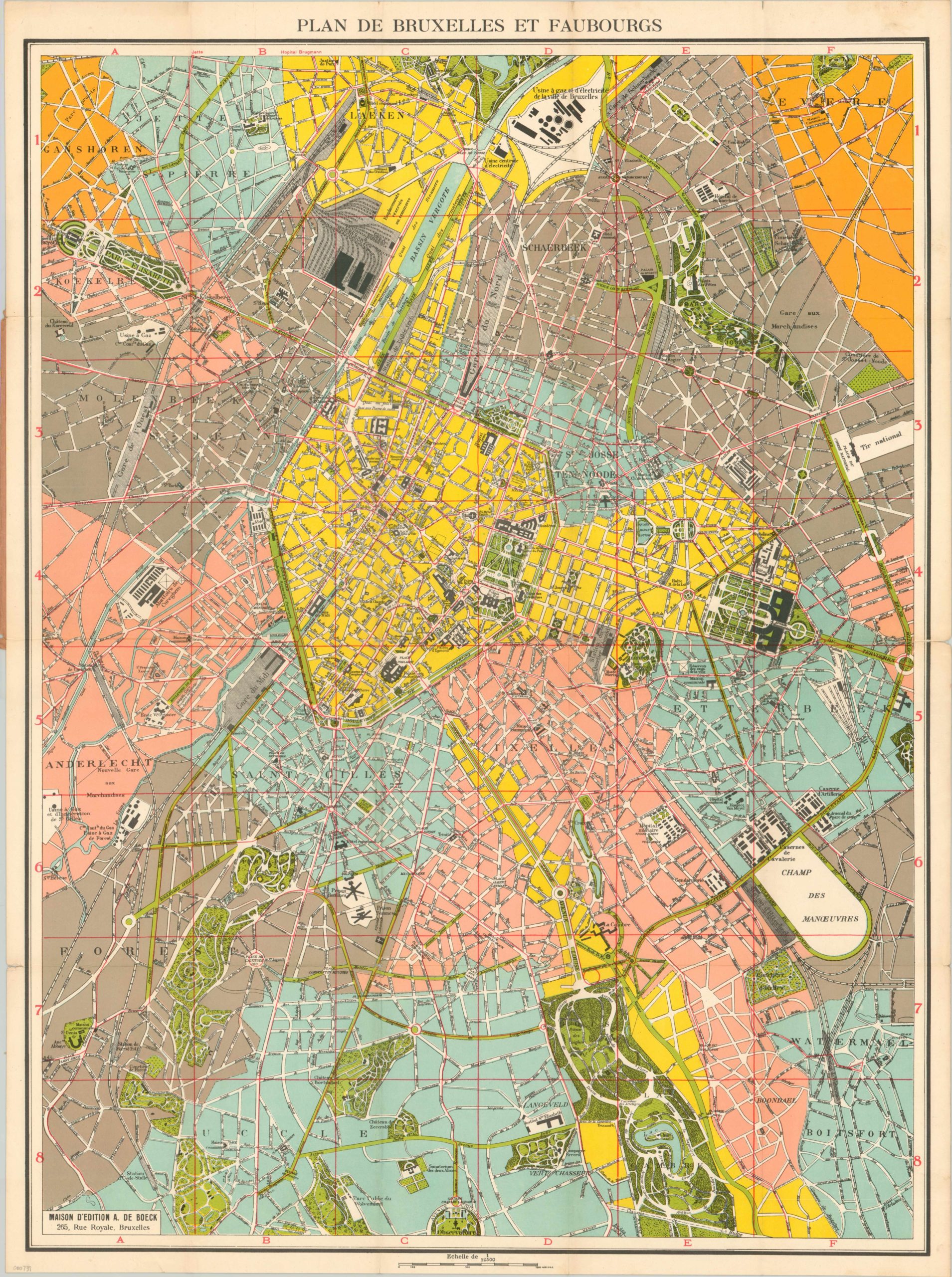
Colorful city plan of Brussels issued shortly after the end of WWI.
Description
This straightforward, top down look at the Belgian capital was published in the city by A. De Boeck shortly after the end of the First World War. Although it was occupied by the Germans throughout much of the conflict, the city suffered relatively little damage compared to the later occupation by the Wermacht.
Color is used to great effect, showing various organizational divisions, parks, and transportation routes throughout Brussels. Building footprints and names are inked boldly in black, providing maximum legibility. However, the use of the same shade of blue for two different contexts makes the city appear to be more like it’s Dutch neighbors; inundated with water!
Map Details
Publication Date: c. 1920
Author: A. De Boeck
Sheet Width (in): 23.25
Sheet Height (in): 31.75
Condition: B+
Condition Description: Faint discoloration and minor tears visible in the outer margins. Some separation along fold line intersections. The original paper cover is worn, as is the accompanying street index, but they are both present.
$125.00