Places of the World
$95.00
Teaching with maps during the Cold War.
1 in stock
Description
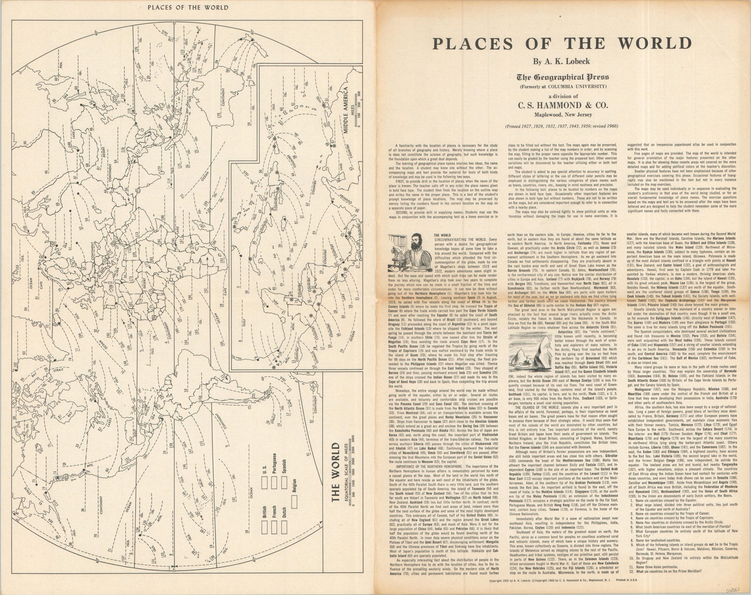
“A familiarity with the location of places is necessary for the study of all branches of geography and history. Merely knowing where a place is does not constitute the science of geography, but such knowledge is the foundation upon which a great deal depends.” – Introductory text.
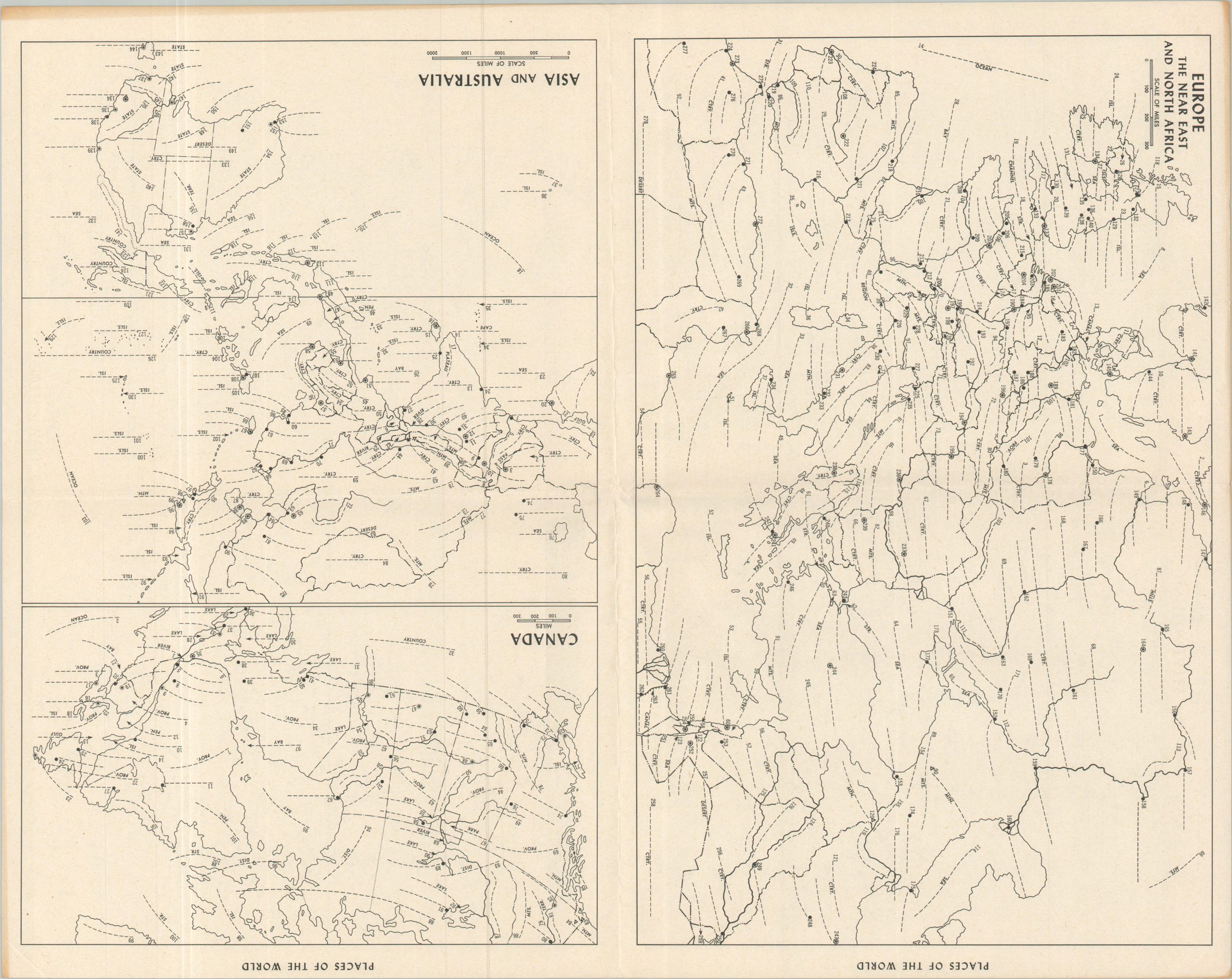
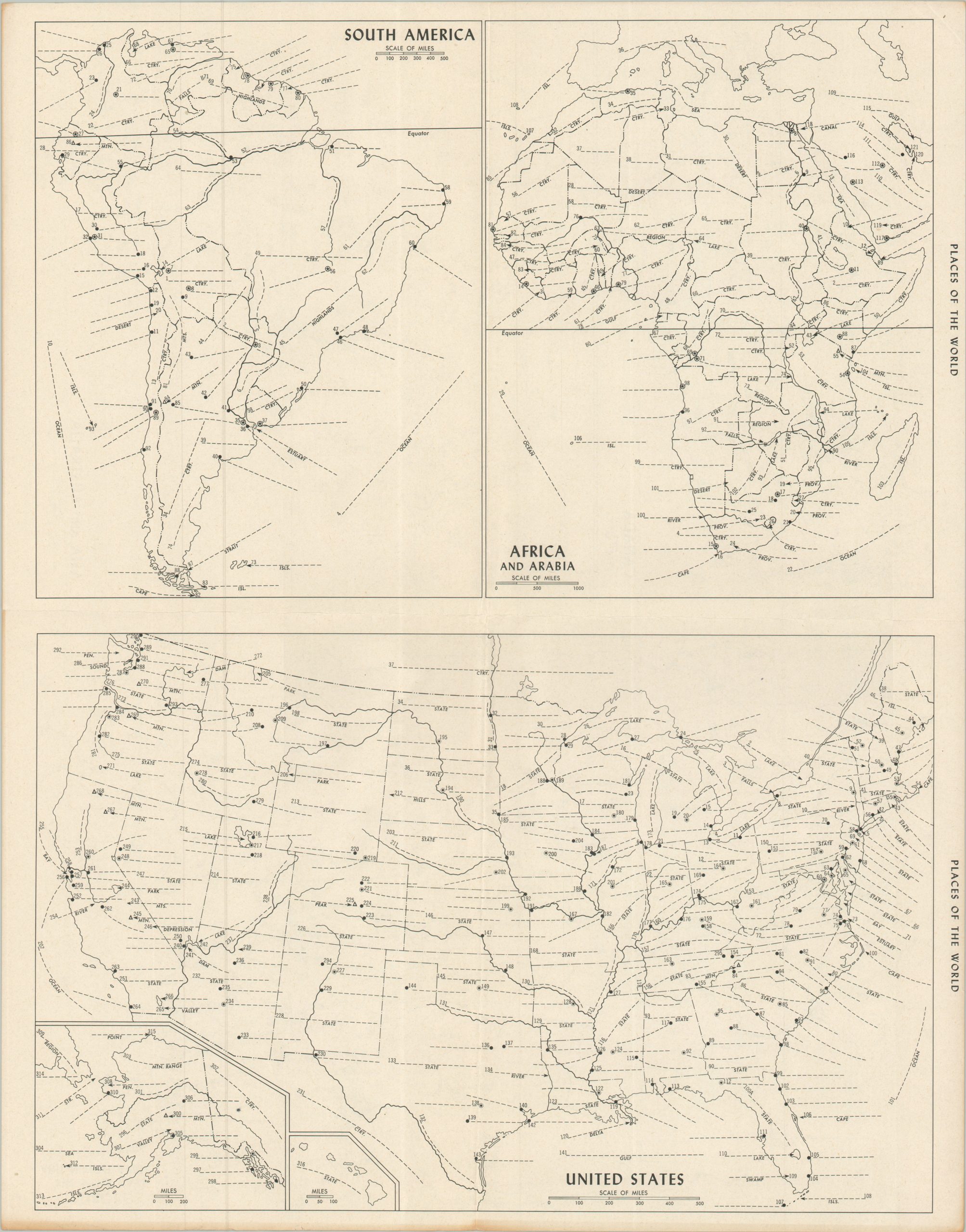
This fascinating lesson plan was designed for use in geography lessons during the mid-20th century. A series of maps covering the entire world, but devoid of any toponyms, was to be incorporated into a variety of exercises in which students could refine their knowledge of specific places across the globe. Over 1,000 different locations across five pages of maps are named and briefly described in the associated text (mostly cities and geographic features).
The work was compiled by A.K. (Armin Kohl) Lobeck and originally printed as early as 1927, reflecting an insightful global perspective during the Interwar Period. This is a later edition, revised to 1960 and published by The Geographical Press, a division of C.S. Hammond & Company.
Map Details
Publication Date: 1960
Author: A.K. Lobeck
Sheet Width (in): 11.75
Sheet Height (in): 19.00
Condition: B
Condition Description: Seven maps (size given for largest) accompanied by text across two double-sided pages, each folded twice. The front cover is moderately toned and worn along folds/outer edges. Creased corners, but otherwise the maps are in good shape.
$95.00
1 in stock