
Pictorial Map of the American Continent
$95.00
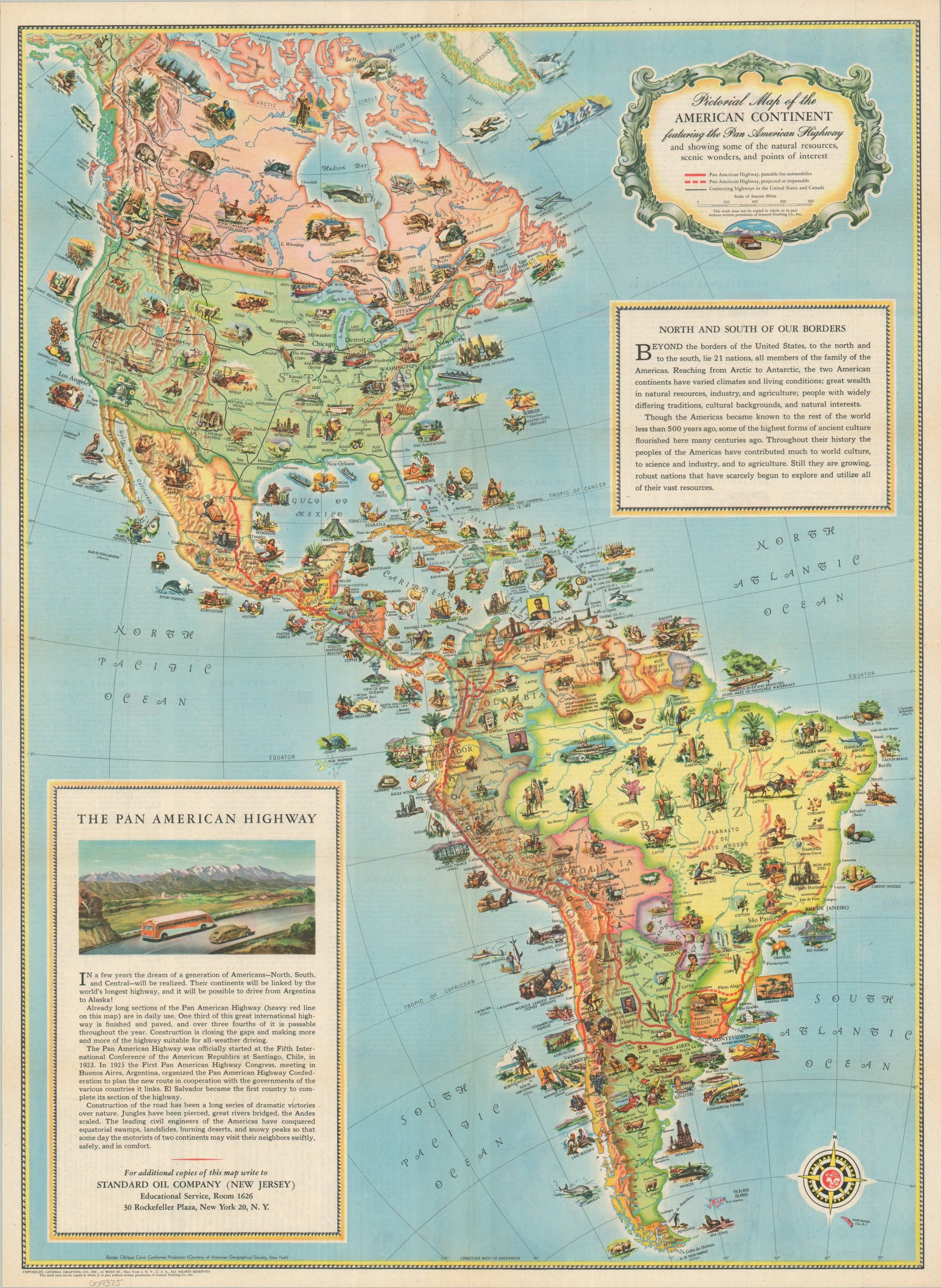
A charming WWII-era promotional map of the Pan-American Highway.
1 in stock
Description
“In a few years the dream of a generation of Americans – North, South and Central – will be realized. The continents will be linked by the world’s longest highway, and it will be possible to drive from Argentina to Alaska!”
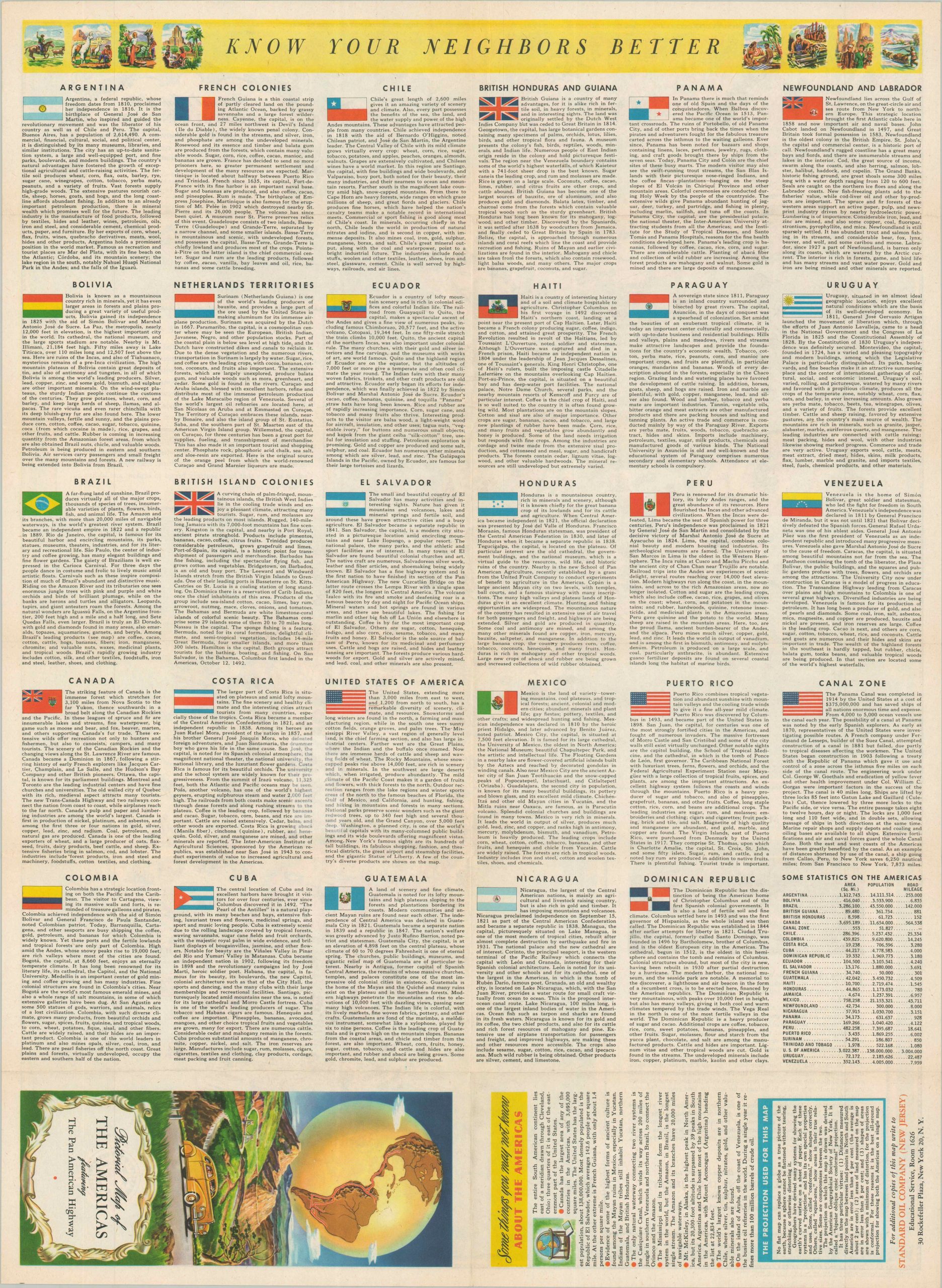
This colorful pictorial map of the Western Hemisphere was published in 1945 by General Drafting Company, Inc. Sponsored by the Standard Oil Company of New Jersey (Esso), the image prepared Americans for a postwar bonanza of automobile tourism across North and South America. The functioning segments of the Pan-American Highway are colored in bright red, connecting Nuevo Laredo (just across the Mexican border) with the Argentine capital of Buenos Aires. The U.S. and Canada show only connecting highways, possibly as a result of wartime travel restrictions.
Scattered throughout the colorful image are numerous vignettes, encouraging the audience to explore the cultural, historical, and industrial diversity of the Americas.
Map Details
Publication Date: 1945
Author: General Drafting Company, Inc.
Sheet Width (in): 18.00
Sheet Height (in): 24.50
Condition: A-
Condition Description: Color printed map on one side of a folded sheet. An irregular pull, about 2" long, repaired on the verso with archival tape. Otherwise in near fine condition.
$95.00
1 in stock