Pictorial Map of New York
$195.00
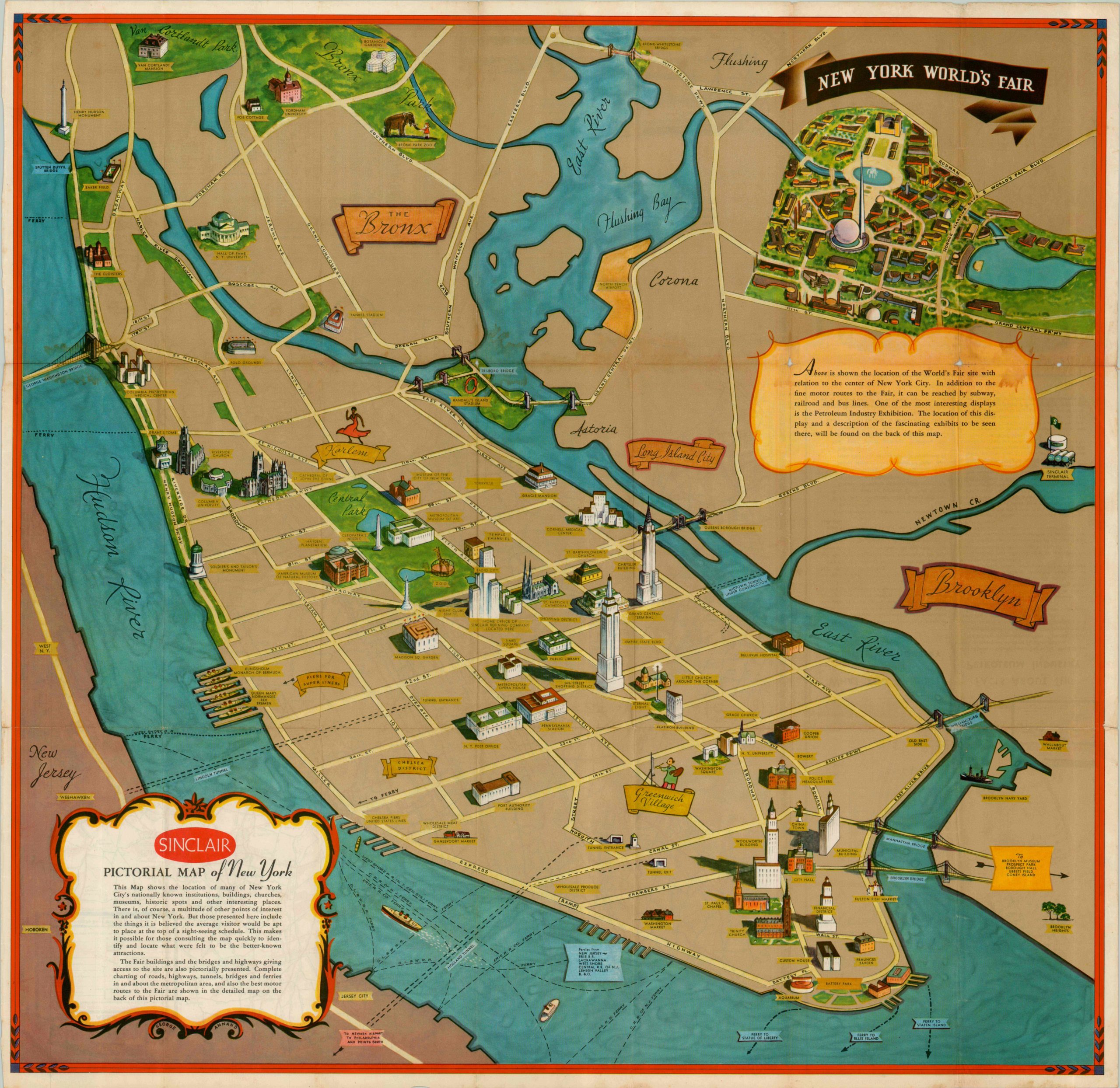
Angled view of Manhattan Island and the New York World’s Fair in 1939.
Description
Published by Rand McNally as promotional material for Sinclair Oil, this 1939 pictorial map of New York shows minimalist tendencies contrasting with full color profiles. Prominent buildings and attractions throughout the area are depicted in full illustration, while otherwise the land and water are largely empty space. The Midtown Tunnel is shown as under construction, leaving the two practical routes from Manhattan to the World’s Fair in Queens as the Queens and Tri-Borough bridges.
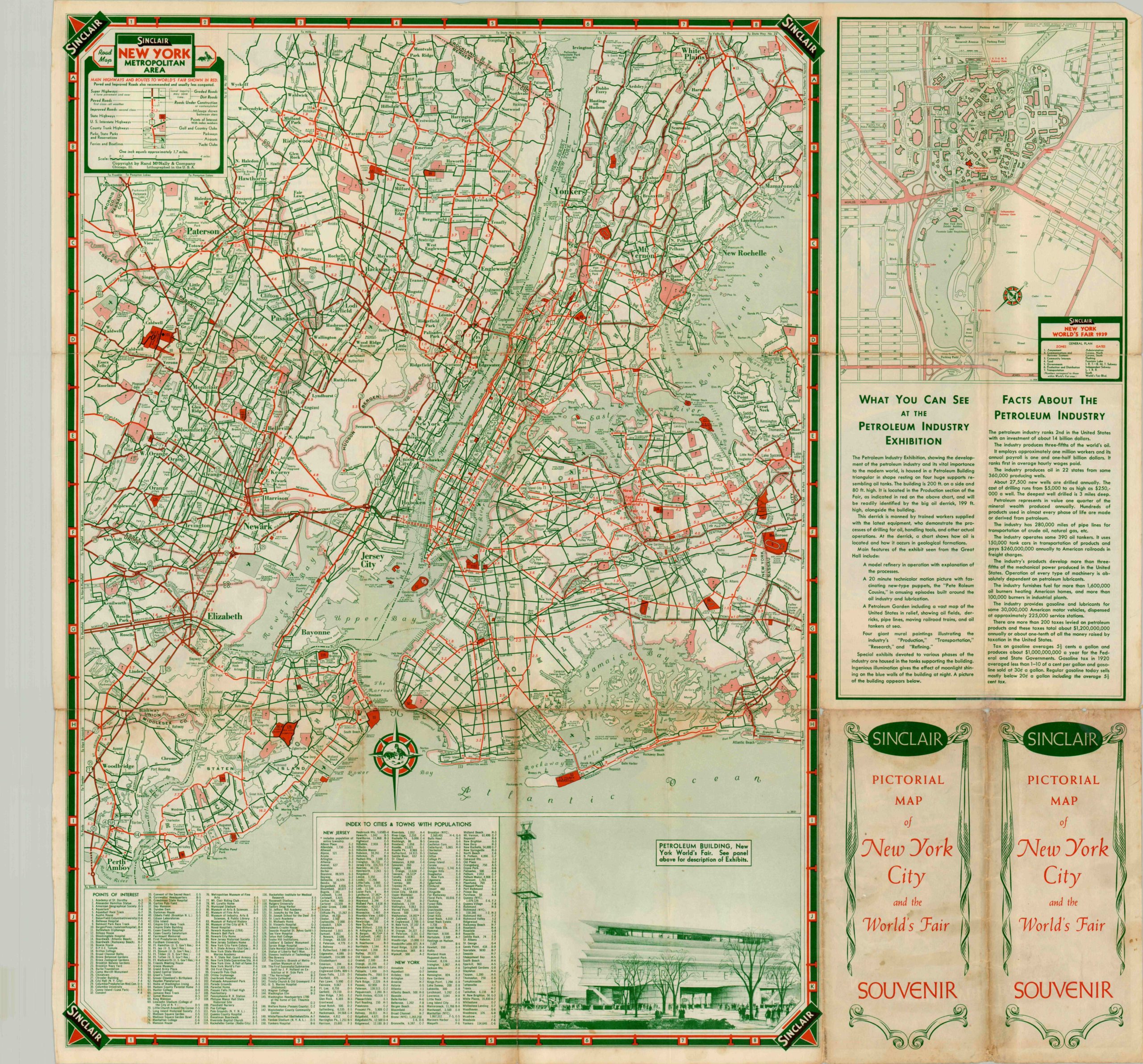
A view of the grounds in the upper right hand corner is dominated by the Trylon and Perisphere, symbols of the fair designed to reflect the slogan “Dawn of a New Day.” For some participants at the fair, the new day in 1939 would be one of occupation and destruction wrought by some of the machines there on display. On the verso is a more practical transportation map of the New York area, plus a large scale map of the fairgrounds. Don’t forget to check out the petroleum exhibit!
Map Details
Publication Date: 1939
Author: George Annand
Sheet Width (in): 27.5
Sheet Height (in): 26.5
Condition: B+
Condition Description: The map is in good condition, with some minor image loss at fold intersections and faint staining below the inset.
$195.00