
Pictorial Map of Frick Park Pittsburgh Pennsylvania
Mapping about a decade of development in Pittsburgh’s Frick Park.
Out of stock
Description
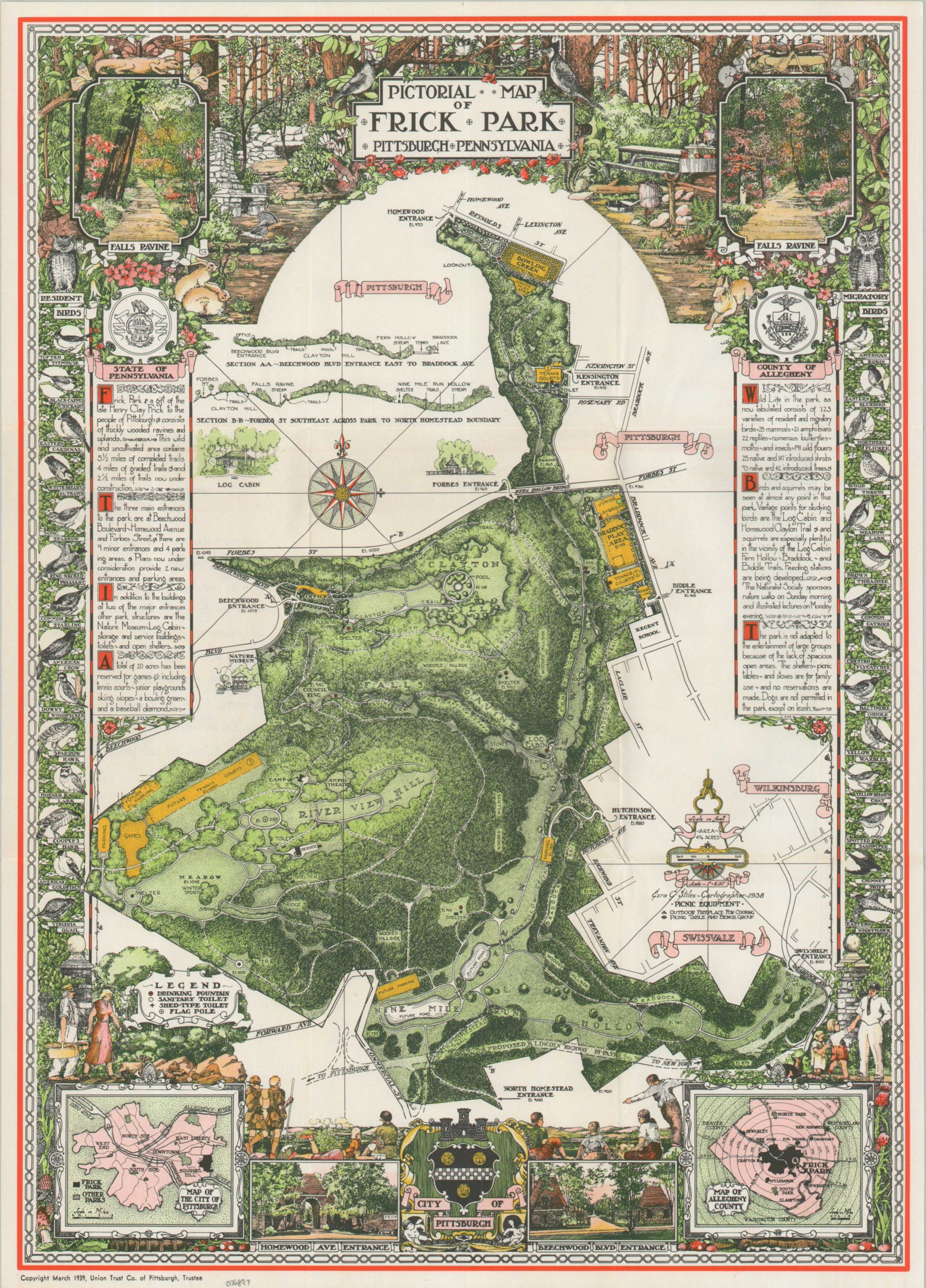
This lavishly illustrated map of Pittsburgh’s Frick Park was designed by the talented pictorial cartographer Ezra Stiles in 1938. It was published the following year by the Union Trust Company, a local firm and trustee of the park, which opened in 1927 on property donated by industrialist Henry Clay Frick.
The decorative image provides a lovely overview of the numerous recreational opportunities available across the ~475 acres. Numerous trails bisect the verdant grounds, while drinking fountains, toilets, and flag poles (helpful landmarks) are noted according to the legend in the lower left. Many of the recreational areas are highlighted in yellow, with several noted as ‘Future’ additions.
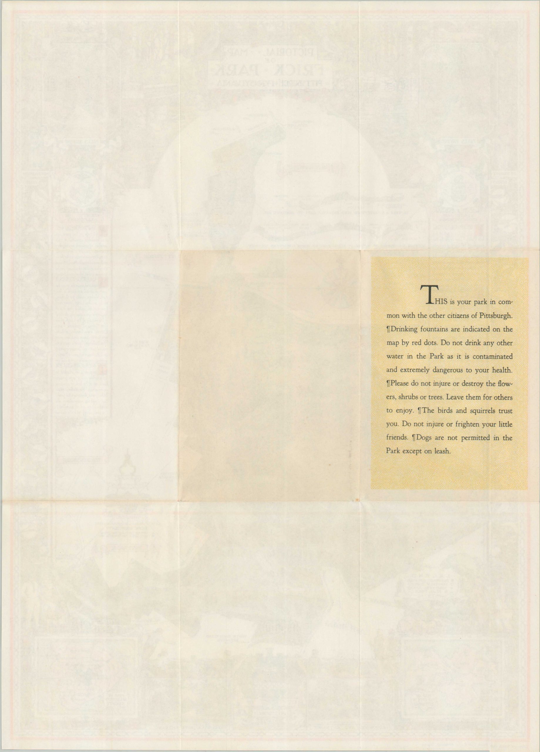
Illustrations of common bird species and typical outdoor scenery can be found along the outer edges of the sheet, along with two insets in the lower corners. A reminder of the rules on the verso of the sheet reads, in part, “Do not drink any other water in the Park as it is contaminated and extremely dangerous to your health.”
Example at David Rumsey Map Collection.
Map Details
Publication Date: 1939
Author: Ezra Stiles
Sheet Width (in): 13.5
Sheet Height (in): 18.6
Condition: A
Condition Description: Vibrant color lithographed map with one panel of text on verso. Sharply creased along original folds. Near fine condition overall. Includes original mailing envelope.
Out of stock