
Physiographic Diagram of North America
Intricate postwar overview of North America’s physiographic composition.
Out of stock
Description
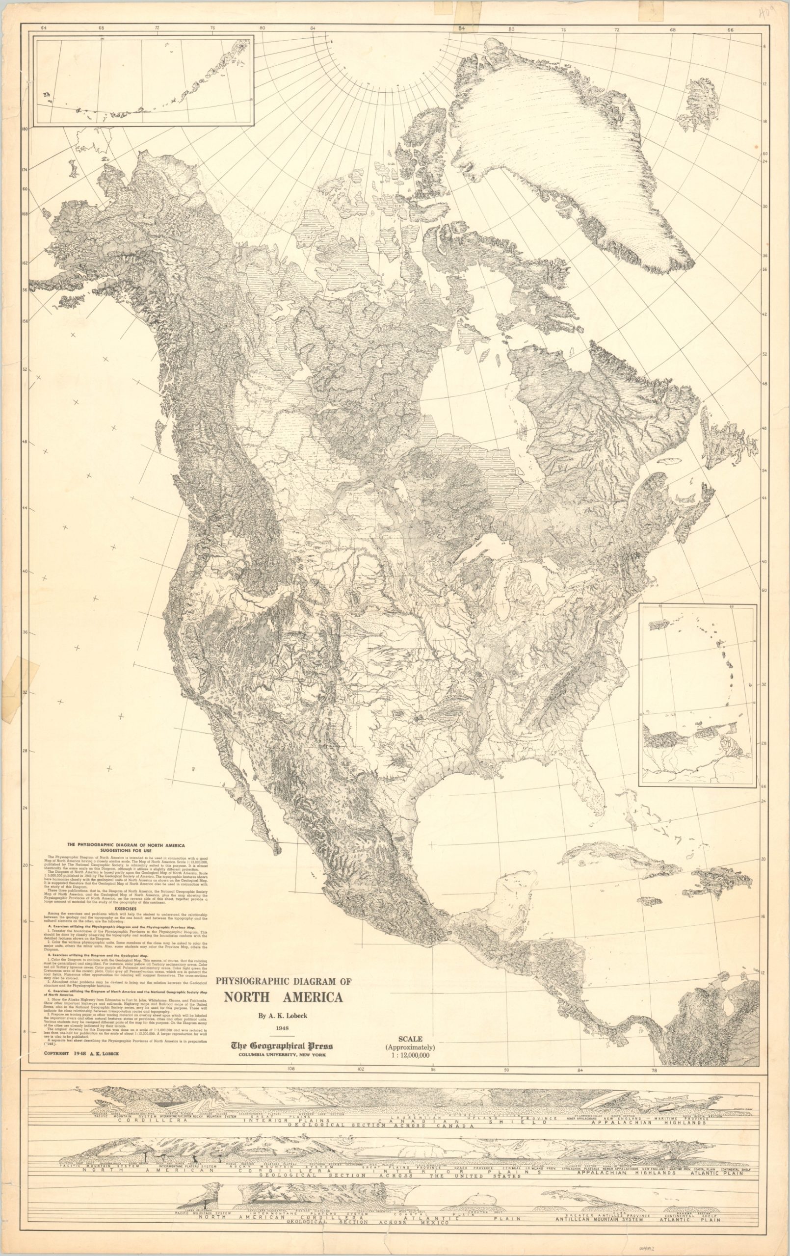
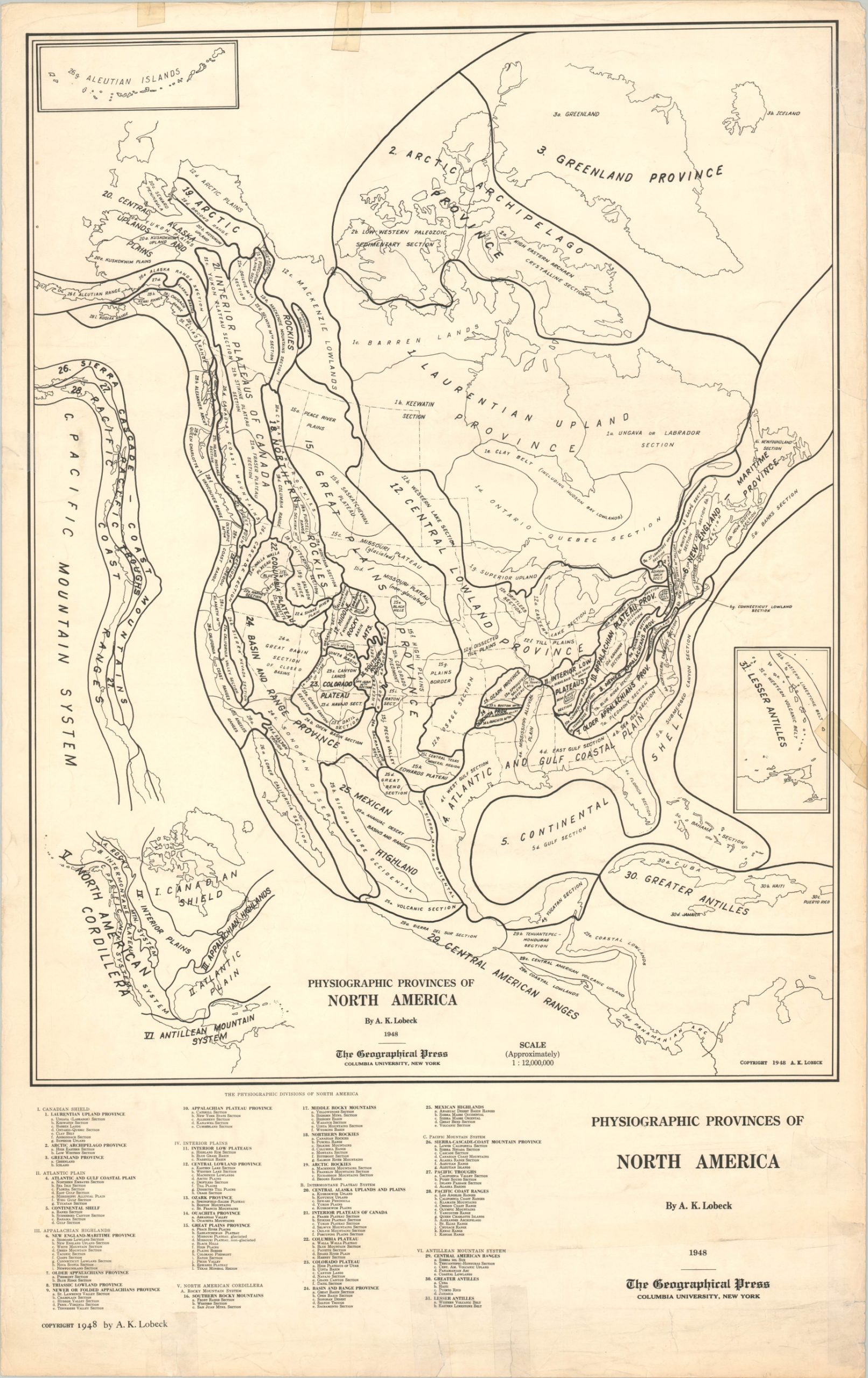
This stunning map of North America was compiled by the talented cartographer Armin K. Lobeck (1886 – 1958) and published in New York by the Geographical Press of Columbia University in 1948. Lobeck received his Ph.D. from Columbia in 1917, before enlisting in the U.S. Army during World War I. He was assigned to the Geography Section of the American Commission to Negotiate Peace, where he created physiographic maps of contested regions like the Balkans.
After the war, he taught for a decade at the University of Wisconsin-Madison, where he created his first physiographic diagram of the United States. He returned to Columbia as a professor of Geography in 1929 and stayed there until his retirement in 1954, with a brief interlude during World War II when Lobeck served for the Army Map Service.
This physiographic map of North America was created shortly after Lobeck returned to Columbia for the second time, and it shows the variety of natural features across the continent with stunning clarity and precision. Inset maps show the Lesser Antilles and the Aleutian Islands and suggestions for classroom use can be seen in the lower left. The bottom of the sheet presents three sweeping geological sections across Canada, the United States, and Mexico.
Map Details
Publication Date: 1948
Author: Armin Lobeck
Sheet Width (in): 23.75
Sheet Height (in): 37.75
Condition: B-
Condition Description: Heavily worn along the outer edges of the sheet, including numerous tears and separations that have been repaired with a combination of old cellophane tape and archival materials. Most do not affect the image, which remains intact.
Out of stock