Physical Geography of the Texas Region
$450.00
U.S.G.S. atlas of Texas, as defined by the borders of the original republic.
Description
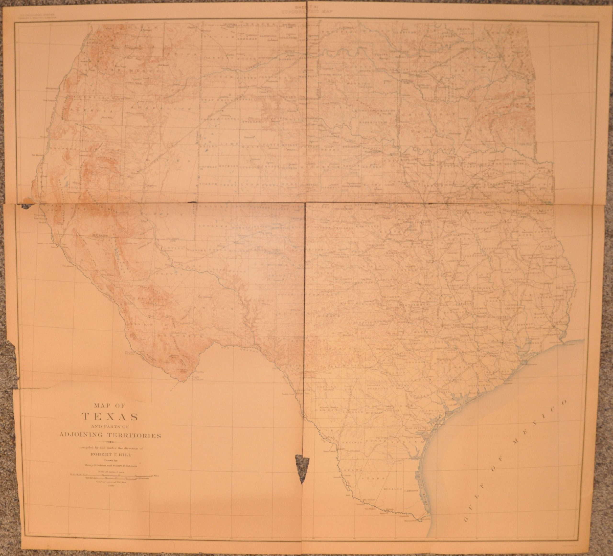
Folio 3 of the U.S.G.S Topographic Atlas of the United States, covering the physical geography of the Texas Region and following the boundaries of the region as outlined by Mellish. The maps were compiled by Robert T. Hill under the director of U.S.G.S. Director Charles Walcott.
The atlas includes numerous photographs identifying specific physical features across the state, as well as several sheets of inset maps outlining various types of mountains, rivers, canyons and plains that can be found there. The publication also includes Hill’s important topographic map of Texas and the surrounding areas, one of the last of the state to be issued in the 19th century.
Map Details
Publication Date: 1900
Author: Robert Hill
Sheet Width (in): 18.50
Sheet Height (in): 21.70
Condition: B
Condition Description: The atlas is complete and includes 12 sheets of text and 10 sheets of photographs and topographic insets. The publication also includes the 11th sheet - the large folding map of Texas by Robert Hill, but this has separated along the fold lines and is very brittle, in need of restoration.
$450.00


