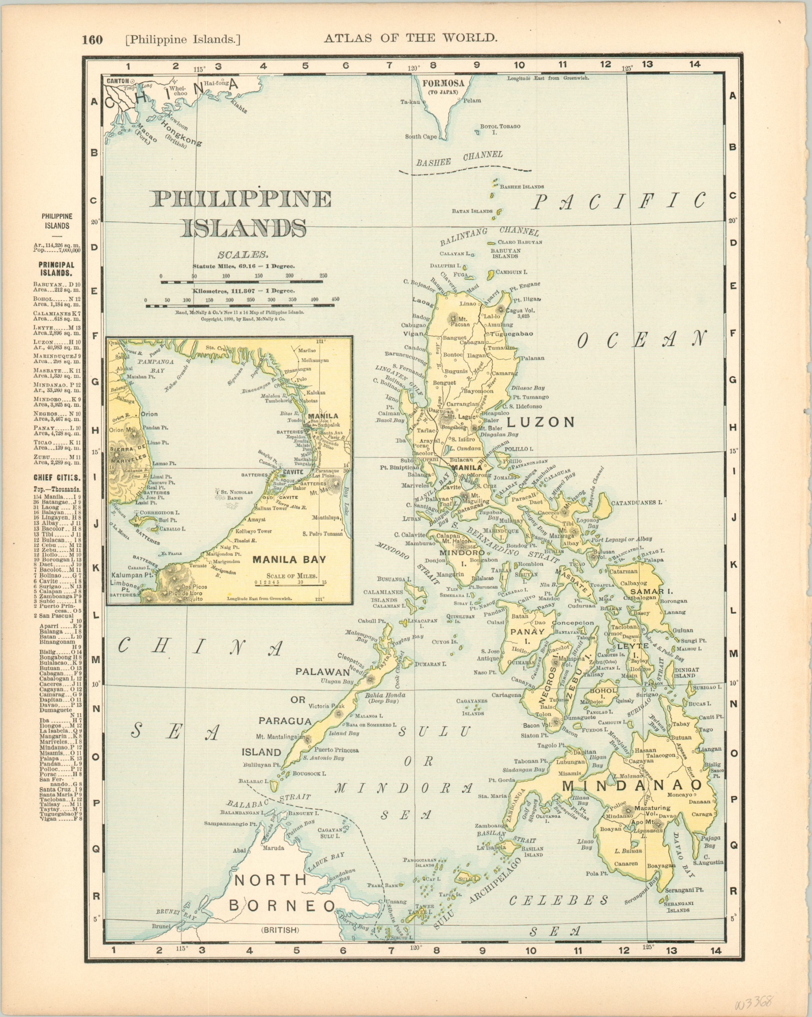
Philippine Islands
$85.00
The Philippines during the Spanish-American War.
1 in stock
Description
The relatively short conflict known as the Spanish-American war would have lasting effects on communities around the globe. In addition to toppling the final towers of the Spanish Empire, the outcome of the war saw United States influence grow tremendously in the Caribbean and Southeast Asia after its victory in 1898.
This map of the Philippines was published in Chicago by Rand McNally that same year and shows a relatively simple overview of the archipelago. An inset map of Manila Bay, the site of a significant battle between the American and Spanish navies, is accompanied by demographic information and indices of islands and chief cities.
Map Details
Publication Date: 1898
Author: Rand McNally
Sheet Width (in): 11
Sheet Height (in): 13.9
Condition: A
Condition Description: Lightly toned around the outer edges, consistent with age, and a bit of wear on the left edge of the sheet. Very good overall.
$85.00
1 in stock

