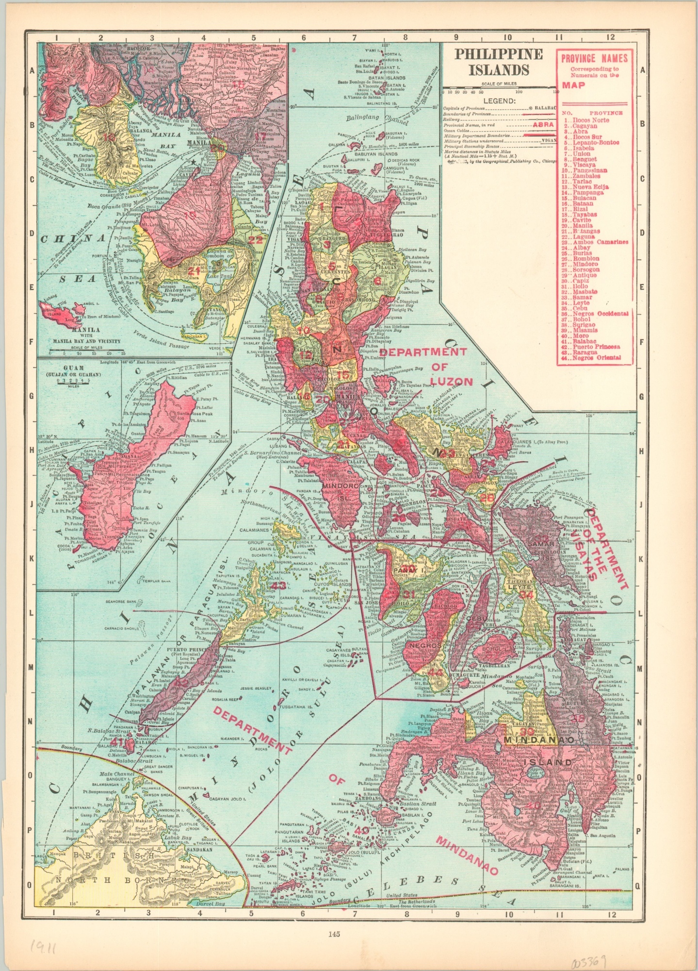
Philippine Islands
$49.00
The Philippine Islands under American occupation.
1 in stock
Description
With the signing of the Treaty of Paris on December 10, 1898, Spain ceded the Philippines to the United States. The interim U.S. military government of the Philippine Islands experienced a period of great political turbulence, characterized by the Philippine–American War.
The ‘insular government’ that was established after peace in 1902 is depicted on this color lithograph map, published in Chicago by the Geographical Publishing Company in 1911. Various departments are outlined and labeled in a thick red overprint, with a legend in the upper right showing the ‘new’ province names.
Military stations, telegraph cables, and steamship routes – all vital tools of an occupying power – are also indicated. Inset maps in the upper left show Manila Bay and Guam, another facet of the American overseas empire.
Map Details
Publication Date: 1911
Author: Geographical Publishing Company
Sheet Width (in): 10.4
Sheet Height (in): 14.5
Condition: A
Condition Description: Slightly uneven left edge and a bit toned around the outer edges, consistent with age. Creased lower right corner. Very good overall.
$49.00
1 in stock

